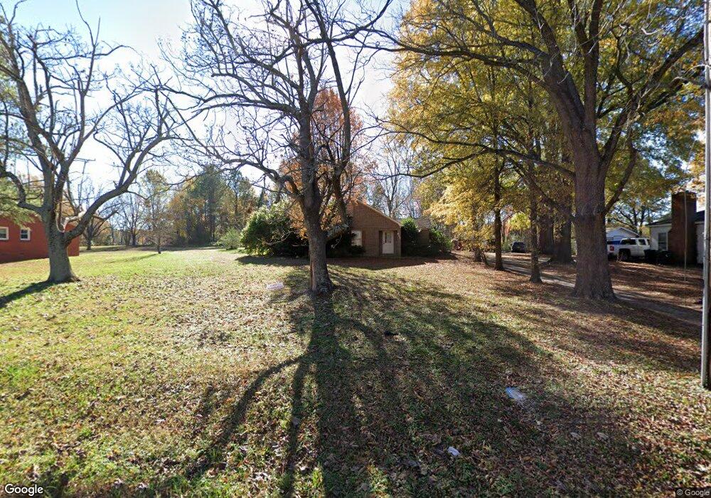
611 Euclid St Monroe, NC 28110
Estimated Value: $261,000 - $360,000
3
Beds
1
Bath
1,670
Sq Ft
$178/Sq Ft
Est. Value
About This Home
This home is located at 611 Euclid St, Monroe, NC 28110 and is currently estimated at $297,674, approximately $178 per square foot. 611 Euclid St is a home with nearby schools including Porter Ridge Elementary School, Piedmont Middle School, and Piedmont High School.
Ownership History
Date
Name
Owned For
Owner Type
Purchase Details
Closed on
Feb 2, 1999
Sold by
Helms Danny Lynn
Bought by
Morrison Robert M and Morrison Janice M
Current Estimated Value
Home Financials for this Owner
Home Financials are based on the most recent Mortgage that was taken out on this home.
Original Mortgage
$86,000
Outstanding Balance
$18,986
Interest Rate
6.72%
Mortgage Type
Purchase Money Mortgage
Estimated Equity
$278,688
Create a Home Valuation Report for This Property
The Home Valuation Report is an in-depth analysis detailing your home's value as well as a comparison with similar homes in the area
Purchase History
| Date | Buyer | Sale Price | Title Company |
|---|---|---|---|
| Morrison Robert M | $95,000 | -- |
Source: Public Records
Mortgage History
| Date | Status | Borrower | Loan Amount |
|---|---|---|---|
| Open | Morrison Robert M | $86,000 |
Source: Public Records
Tax History
| Year | Tax Paid | Tax Assessment Tax Assessment Total Assessment is a certain percentage of the fair market value that is determined by local assessors to be the total taxable value of land and additions on the property. | Land | Improvement |
|---|---|---|---|---|
| 2025 | $845 | $96,700 | $0 | $0 |
| 2024 | $2,427 | $222,600 | $64,300 | $158,300 |
| 2023 | $2,427 | $222,600 | $64,300 | $158,300 |
| 2022 | $2,427 | $222,600 | $64,300 | $158,300 |
| 2021 | $2,427 | $222,600 | $64,300 | $158,300 |
| 2020 | $1,396 | $103,620 | $18,120 | $85,500 |
| 2019 | $1,396 | $103,620 | $18,120 | $85,500 |
| 2018 | $638 | $103,620 | $18,120 | $85,500 |
| 2017 | $1,417 | $103,600 | $18,100 | $85,500 |
| 2016 | $1,402 | $103,620 | $18,120 | $85,500 |
| 2015 | $804 | $103,620 | $18,120 | $85,500 |
| 2014 | $1,656 | $135,740 | $21,420 | $114,320 |
Source: Public Records
Map
Nearby Homes
- 614 Sunnybrook Dr
- 0 Secrest Shortcut Rd Unit CAR4254431
- 2132 Blue Sky Meadows Dr
- 2144 Blue Sky Meadows Dr
- 2643 Mabel Ln
- 2647 Mabel Ln
- 2104 Riverbend Ave
- 2114 Riverbend Ave
- 2524 Switchgrass Ct
- 404 King St
- 1789 Dickerson Blvd
- 609 Mountain View Dr
- 134 E East Ave
- 513 Mountain View Dr
- 608 Mountain View Dr
- 620 Mountain View Dr
- 612 Mountain View Dr
- 616 Mountain View Dr
- 2607 Blue Sky Meadows Dr
- 2611 Blue Sky Meadows Dr
- 613 Euclid St
- 609 Euclid St
- 606 Euclid St
- 1909 Temple St
- 1900 Temple St
- 1907 Temple St
- 601 Euclid St
- 1900 W Roosevelt Blvd
- 1903 Temple St
- 1918 Temple St
- 1920 Temple St
- 513 Euclid St
- 1913 Temple St Unit 3
- 000 Secrest Short Cut Rd
- 0000 Secrest Short Cut Rd
- 0000 Secrest Short Cut Rd Unit 2
- 00 Monticello Dr
- 00 Monticello Dr Unit 4
- 1801 Secrest Short Cut Rd
- 1900 Concord Ave
Your Personal Tour Guide
Ask me questions while you tour the home.