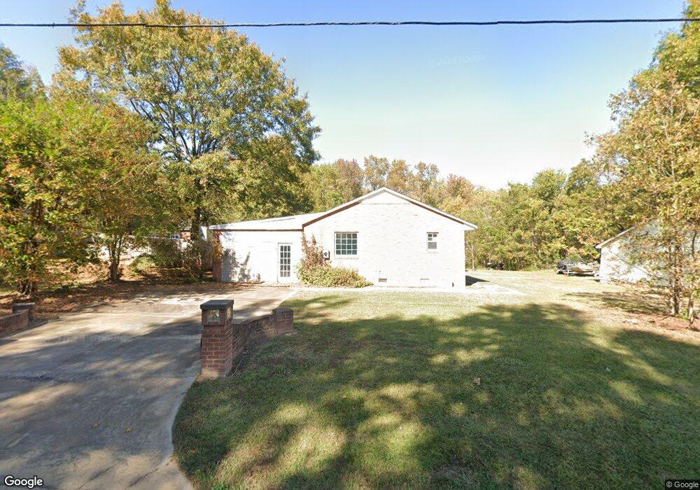
611 Howie Mine Rd Waxhaw, NC 28173
Estimated Value: $401,000 - $645,000
3
Beds
2
Baths
2,679
Sq Ft
$192/Sq Ft
Est. Value
About This Home
This home is located at 611 Howie Mine Rd, Waxhaw, NC 28173 and is currently estimated at $513,108, approximately $191 per square foot. 611 Howie Mine Rd is a home located in Union County with nearby schools including Waxhaw Elementary School, Parkwood Middle School, and Parkwood High School.
Ownership History
Date
Name
Owned For
Owner Type
Purchase Details
Closed on
May 26, 2004
Sold by
Robinson Ervin
Bought by
Ivey Irma and Robinson Linda
Current Estimated Value
Purchase Details
Closed on
Mar 13, 2003
Sold by
Golden Lillie C
Bought by
Coffey Rufus H
Purchase Details
Closed on
Dec 30, 2002
Sold by
Citro Salvatore and Citro Pauline
Bought by
Waxhaw Commerce Llc
Create a Home Valuation Report for This Property
The Home Valuation Report is an in-depth analysis detailing your home's value as well as a comparison with similar homes in the area
Home Values in the Area
Average Home Value in this Area
Purchase History
| Date | Buyer | Sale Price | Title Company |
|---|---|---|---|
| Ivey Irma | -- | -- | |
| Coffey Rufus H | -- | -- | |
| Waxhaw Commerce Llc | $229,500 | -- |
Source: Public Records
Tax History Compared to Growth
Tax History
| Year | Tax Paid | Tax Assessment Tax Assessment Total Assessment is a certain percentage of the fair market value that is determined by local assessors to be the total taxable value of land and additions on the property. | Land | Improvement |
|---|---|---|---|---|
| 2024 | $2,893 | $282,200 | $59,000 | $223,200 |
| 2023 | $2,864 | $282,200 | $59,000 | $223,200 |
| 2022 | $2,864 | $282,200 | $59,000 | $223,200 |
| 2021 | $2,860 | $282,200 | $59,000 | $223,200 |
| 2020 | $1,521 | $194,100 | $23,600 | $170,500 |
| 2019 | $2,272 | $194,100 | $23,600 | $170,500 |
| 2018 | $1,524 | $194,130 | $23,630 | $170,500 |
| 2017 | $2,295 | $194,100 | $23,600 | $170,500 |
| 2016 | $2,256 | $194,130 | $23,630 | $170,500 |
| 2015 | $1,581 | $194,130 | $23,630 | $170,500 |
| 2014 | $823 | $117,170 | $24,900 | $92,270 |
Source: Public Records
Map
Nearby Homes
- 8388 Waxhaw Hwy
- 8256 Waxhaw Hwy
- 639 Boxcar Bend
- 113 Dawn View Ln
- 403 Old Town Village Rd
- 309 Old Town Village Rd
- Duncan Plan at Old Town Village
- Wilson Plan at Old Town Village
- Price Plan at Old Town Village
- Hudson Plan at Old Town Village
- 412 Old Town Village Rd
- 416 Old Town Village Rd
- 432 Old Town Village Rd
- 317 Old Town Village Rd
- 6369 S Providence St
- 8215 N Carolina 75
- 451 Old Town Village Rd
- 305 Mckibben St
- 516 N Broome St
- TBD Blythe Mill Rd
- 615 Howie Mine Rd
- 108 Howie Mine Rd
- 627 Howie Mine Rd
- 629 Howie Mine Rd
- 612 Howie Mine Rd
- 000 Dunlap St
- 104 Dunlap St
- 616 Howie Mine Rd
- 108 Dunlap St
- 00 Cureton St
- 612 Price St
- 631 Howie Mine Rd
- 501 Howie Mine Rd
- 116 Dunlap St
- 300, 302, 304 Pearl St
- 300 Pearl St
- 0000 Howie Mine Rd Unit 1
- 0000 Howie Mine Rd Unit 2
- 638 Howie Mine Rd
- 120 Dunlap St