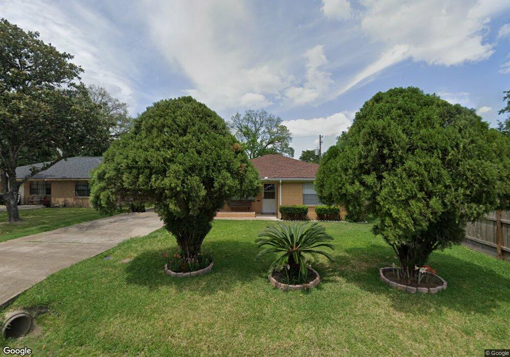
611 Innsdale Dr Houston, TX 77076
Northside-Northline NeighborhoodEstimated Value: $219,000 - $320,000
3
Beds
2
Baths
1,784
Sq Ft
$149/Sq Ft
Est. Value
About This Home
This home is located at 611 Innsdale Dr, Houston, TX 77076 and is currently estimated at $265,436, approximately $148 per square foot. 611 Innsdale Dr is a home located in Harris County with nearby schools including Lyons Elementary School, Burbank Middle School, and Sam Houston Math, Science & Technology Center.
Ownership History
Date
Name
Owned For
Owner Type
Purchase Details
Closed on
Aug 17, 1998
Sold by
Bonds Grover and Bonds Lola Pauline
Bought by
Olmedo Jose A
Current Estimated Value
Home Financials for this Owner
Home Financials are based on the most recent Mortgage that was taken out on this home.
Original Mortgage
$67,900
Outstanding Balance
$14,141
Interest Rate
6.9%
Estimated Equity
$251,295
Create a Home Valuation Report for This Property
The Home Valuation Report is an in-depth analysis detailing your home's value as well as a comparison with similar homes in the area
Home Values in the Area
Average Home Value in this Area
Purchase History
| Date | Buyer | Sale Price | Title Company |
|---|---|---|---|
| Olmedo Jose A | -- | Regency Title |
Source: Public Records
Mortgage History
| Date | Status | Borrower | Loan Amount |
|---|---|---|---|
| Open | Olmedo Jose A | $67,900 |
Source: Public Records
Tax History Compared to Growth
Tax History
| Year | Tax Paid | Tax Assessment Tax Assessment Total Assessment is a certain percentage of the fair market value that is determined by local assessors to be the total taxable value of land and additions on the property. | Land | Improvement |
|---|---|---|---|---|
| 2025 | $5 | $240,622 | $71,922 | $168,700 |
| 2024 | $5 | $244,092 | $71,922 | $172,170 |
| 2023 | $5 | $244,092 | $71,922 | $172,170 |
| 2022 | $3,084 | $203,693 | $37,959 | $165,734 |
| 2021 | $2,967 | $153,922 | $37,959 | $115,963 |
| 2020 | $2,803 | $133,381 | $37,959 | $95,422 |
| 2019 | $2,663 | $133,381 | $37,959 | $95,422 |
| 2018 | $1,644 | $95,658 | $33,963 | $61,695 |
| 2017 | $2,392 | $95,658 | $33,963 | $61,695 |
| 2016 | $2,174 | $95,658 | $33,963 | $61,695 |
| 2015 | $1,437 | $78,175 | $23,974 | $54,201 |
| 2014 | $1,437 | $78,175 | $23,974 | $54,201 |
Source: Public Records
Map
Nearby Homes
- 415 Briarcliff Dr
- 283 Turner Dr
- 1105 Soren Ln
- 219 Heaney Dr
- 9907 Dipping Brook St
- 9905 Dipping Brook St
- 9650 E Hardy Rd
- 9920 Dipping Woods St
- 9916 Dipping Woods St
- 207 Dipping Stream St
- 702 Pennington St
- 9913 Dipping Woods St
- 9925 Dipping Woods St
- 9909 Dipping Woods St
- 202 Burbank St
- 9902 Clark Rd Unit D
- 9902 Clark Rd Unit I
- 9902 Clark Rd Unit G
- 318 Charlock St
- 9026 Mcgallion Rd
- 703 Innsdale Dr
- 707 Innsdale Dr
- 607 Innsdale Dr
- 711 Innsdale Dr
- 606 Innsdale Dr
- 702 Innsdale Dr
- 0 Innsdale Dr
- 706 Innsdale Dr
- 715 Innsdale Dr
- 710 Innsdale Dr
- 528 Innsdale Dr
- 719 Innsdale Dr
- 714 Innsdale Dr
- 515 Innsdale Dr
- 603 Dipping Ln
- 615 Turner Dr
- 609 Turner Dr
- 611 Dipping Ln
- 703 Dipping Ln
- 706 Turner Dr