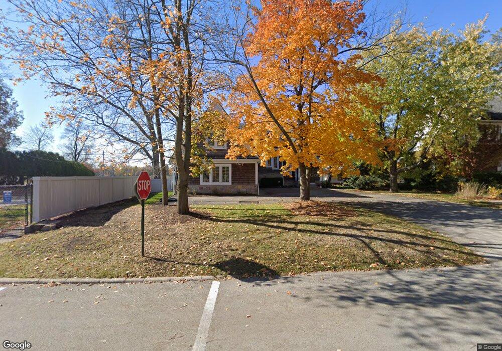
611 Leonard Pkwy Crystal Lake, IL 60014
Estimated Value: $329,000 - $1,790,000
3
Beds
4
Baths
3,694
Sq Ft
$324/Sq Ft
Est. Value
About This Home
This home is located at 611 Leonard Pkwy, Crystal Lake, IL 60014 and is currently estimated at $1,196,755, approximately $323 per square foot. 611 Leonard Pkwy is a home located in McHenry County with nearby schools including South Elementary School, Richard F Bernotas Middle School, and Crystal Lake Central High School.
Ownership History
Date
Name
Owned For
Owner Type
Purchase Details
Closed on
Aug 5, 2004
Sold by
Rosati Anthony and Rosati Corrine
Bought by
Johnson Daniel N and Johnson Colleen C
Current Estimated Value
Home Financials for this Owner
Home Financials are based on the most recent Mortgage that was taken out on this home.
Original Mortgage
$1,032,000
Interest Rate
4.25%
Mortgage Type
Purchase Money Mortgage
Create a Home Valuation Report for This Property
The Home Valuation Report is an in-depth analysis detailing your home's value as well as a comparison with similar homes in the area
Home Values in the Area
Average Home Value in this Area
Purchase History
| Date | Buyer | Sale Price | Title Company |
|---|---|---|---|
| Johnson Daniel N | $1,040,000 | -- |
Source: Public Records
Mortgage History
| Date | Status | Borrower | Loan Amount |
|---|---|---|---|
| Closed | Johnson Daniel N | $1,032,000 |
Source: Public Records
Tax History Compared to Growth
Tax History
| Year | Tax Paid | Tax Assessment Tax Assessment Total Assessment is a certain percentage of the fair market value that is determined by local assessors to be the total taxable value of land and additions on the property. | Land | Improvement |
|---|---|---|---|---|
| 2024 | $32,491 | $391,785 | $171,465 | $220,320 |
| 2023 | $31,527 | $350,403 | $153,354 | $197,049 |
| 2022 | $32,092 | $344,797 | $138,406 | $206,391 |
| 2021 | $30,443 | $321,220 | $128,942 | $192,278 |
| 2020 | $29,726 | $309,848 | $124,377 | $185,471 |
| 2019 | $29,007 | $296,562 | $119,044 | $177,518 |
| 2018 | $24,084 | $242,483 | $111,653 | $130,830 |
| 2017 | $24,011 | $228,434 | $105,184 | $123,250 |
| 2016 | $23,485 | $214,250 | $98,653 | $115,597 |
| 2013 | -- | $199,869 | $92,031 | $107,838 |
Source: Public Records
Map
Nearby Homes
- 193 Lake Ct
- 615 Lake Ave
- 691 Lake Ave
- 191 S Virginia St
- 130 S Virginia St
- 421 Lake Ave
- 277 Church St
- 348 Wiltshire Ln
- 221 Uteg St Unit G
- 310 2nd Ct
- 501 Coventry Ln Unit 18
- 132 S Mchenry Ave
- 511 Coventry Ln Unit 2
- 511 Coventry Ln Unit 3
- 600 Sussex Ln
- 463 Hampshire Ln
- 704 Saint Andrews Ln
- 567 Cress Creek Ln
- 265 Sunset Dr
- 650 Cress Creek Ln Unit 1
- 615 Leonard Pkwy
- 621 Leonard Pkwy
- 250 Lakeshore Dr
- 623 Leonard Pkwy
- 620 Leonard Pkwy
- 242 Lakeshore Dr
- 622 Leonard Pkwy
- 627 Leonard Pkwy
- 240 Lakeshore Dr
- 624 Leonard Pkwy
- 626 Leonard Pkwy
- 236 Lakeshore Dr
- 635 Leonard Pkwy
- 209 Lake Ct
- 235 Lakeshore Dr
- 230 Lakeshore Dr
- 201 Lake Ct
- 637 Leonard Pkwy
- 233 Lakeshore Dr
- 281 Dole Ave