611 Levee Cir Magnolia, OH 44643
Estimated Value: $296,000 - $406,072
4
Beds
3
Baths
2,504
Sq Ft
$137/Sq Ft
Est. Value
About This Home
This home is located at 611 Levee Cir, Magnolia, OH 44643 and is currently estimated at $342,518, approximately $136 per square foot. 611 Levee Cir is a home located in Stark County with nearby schools including Sandy Valley Elementary School, Sandy Valley Middle School, and Sandy Valley High School.
Ownership History
Date
Name
Owned For
Owner Type
Purchase Details
Closed on
May 25, 2012
Sold by
Tozzi Allan R and Tozzi Suzanne K
Bought by
Tozzi Allan R and Tozzi Suzanne K
Current Estimated Value
Purchase Details
Closed on
Apr 27, 2012
Sold by
Tozzi Allan R
Bought by
Tozzi Allan R and Tozzi Suzanne K
Create a Home Valuation Report for This Property
The Home Valuation Report is an in-depth analysis detailing your home's value as well as a comparison with similar homes in the area
Home Values in the Area
Average Home Value in this Area
Purchase History
| Date | Buyer | Sale Price | Title Company |
|---|---|---|---|
| Tozzi Allan R | -- | None Available | |
| Tozzi Allan R | -- | None Available |
Source: Public Records
Tax History Compared to Growth
Tax History
| Year | Tax Paid | Tax Assessment Tax Assessment Total Assessment is a certain percentage of the fair market value that is determined by local assessors to be the total taxable value of land and additions on the property. | Land | Improvement |
|---|---|---|---|---|
| 2025 | -- | $131,120 | $31,890 | $99,230 |
| 2024 | -- | $131,120 | $31,890 | $99,230 |
| 2023 | $4,263 | $96,080 | $19,880 | $76,200 |
| 2022 | $4,311 | $96,080 | $19,880 | $76,200 |
| 2021 | $4,341 | $96,080 | $19,880 | $76,200 |
| 2020 | $3,825 | $83,300 | $17,150 | $66,150 |
| 2019 | $4,037 | $80,990 | $17,150 | $63,840 |
| 2018 | $3,963 | $80,990 | $17,150 | $63,840 |
| 2017 | $3,922 | $76,310 | $16,420 | $59,890 |
| 2016 | $4,038 | $77,460 | $17,570 | $59,890 |
| 2015 | $4,084 | $77,460 | $17,570 | $59,890 |
| 2014 | $1,190 | $60,870 | $13,830 | $47,040 |
| 2013 | $1,602 | $60,870 | $13,830 | $47,040 |
Source: Public Records
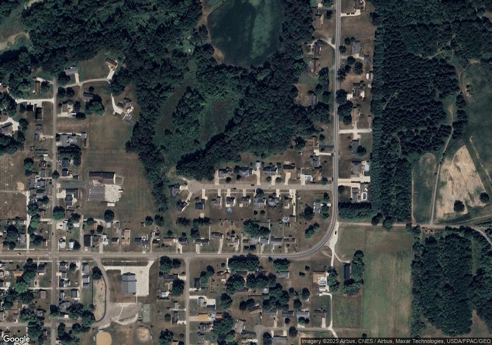
Map
Nearby Homes
- 614 Levee Cir
- 715 Minerva Rd
- 1.06 Ac Vacant Lot N Lynnwood Dr
- 1.25 Ac Vacant Lot N Lynnwood Dr
- 217 E Carrollton St
- 5500 Westbrook St SE
- 0 W Lisbon St
- 3750 Farber St SE
- 3799 Westbrook St SE
- 156 W Lisbon St
- 5488 Elson St SE
- 0 Goodland St SE
- 7796 Mottice Dr SE
- 0 Elson St SE Unit 5130913
- 7803 Elson St SE
- 7750 Waynesburg Dr SE
- 7678 Waynesburg Dr SE
- 0 Lampe Lane North E Unit 5162024
- 5236 Hilltop Dr NE
- 5416 M Ave
- 609 Levee Cir
- 615 Levee Cir
- 0 Levee Cir Unit 5056296
- 0 Levee Cir Unit 5011222
- 0 Levee Cir Unit 4475964
- 0 Levee Cir
- 610 Levee Cir
- 617 Levee Cir
- 612 Levee Cir
- 608 Levee Cir
- 606 Levee Cir
- 616 Levee Cir
- 604 Levee Cir
- 615 Minerva Rd
- 565 Minerva Rd
- 655 Harrison St
- 685 Harrison St
- 631 Harrison St
- 665 Harrison St
- 697 Harrison St