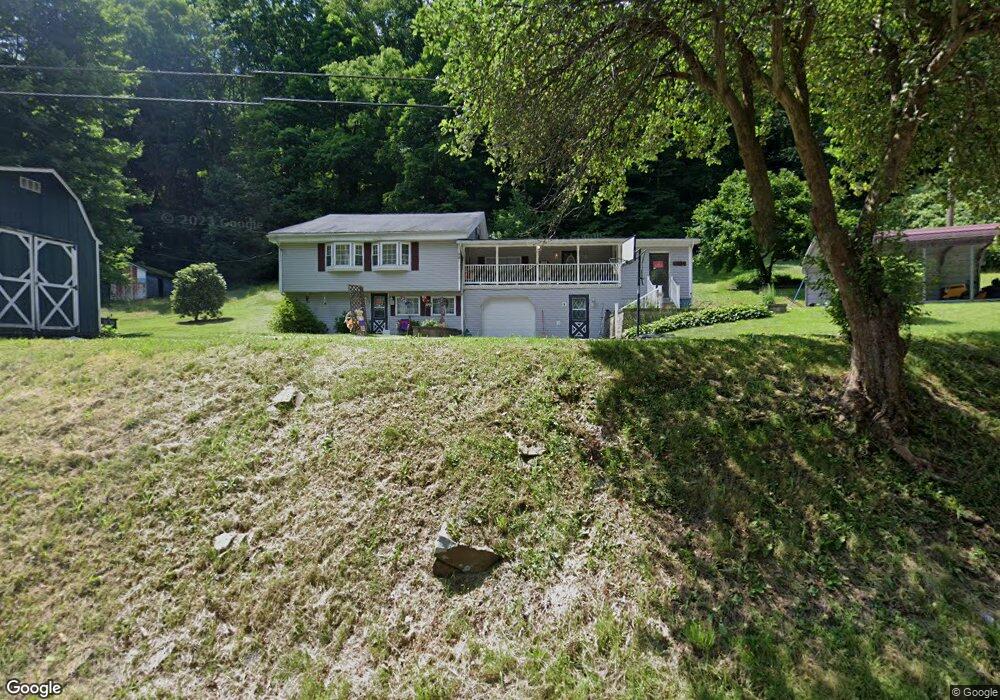
611 Mae West Rd Confluence, PA 15424
Henry Clay Township NeighborhoodEstimated Value: $207,000 - $221,000
2
Beds
1
Bath
2,127
Sq Ft
$100/Sq Ft
Est. Value
About This Home
This home is located at 611 Mae West Rd, Confluence, PA 15424 and is currently estimated at $212,554, approximately $99 per square foot. 611 Mae West Rd is a home located in Fayette County with nearby schools including Uniontown Area Senior High School.
Ownership History
Date
Name
Owned For
Owner Type
Purchase Details
Closed on
Dec 1, 2023
Sold by
Mccarty Arlene L
Bought by
Mckeel Samuel P and Mckeel Anita L
Current Estimated Value
Home Financials for this Owner
Home Financials are based on the most recent Mortgage that was taken out on this home.
Original Mortgage
$9,500
Outstanding Balance
$9,336
Interest Rate
7.79%
Estimated Equity
$203,218
Purchase Details
Closed on
Jan 1, 1968
Bought by
Mccarty Sheldon L and Mccarty Arlene L
Create a Home Valuation Report for This Property
The Home Valuation Report is an in-depth analysis detailing your home's value as well as a comparison with similar homes in the area
Home Values in the Area
Average Home Value in this Area
Purchase History
| Date | Buyer | Sale Price | Title Company |
|---|---|---|---|
| Mckeel Samuel P | $190,000 | None Listed On Document | |
| Mckeel Samuel P | $190,000 | None Listed On Document | |
| Mccarty Sheldon L | -- | -- |
Source: Public Records
Mortgage History
| Date | Status | Borrower | Loan Amount |
|---|---|---|---|
| Open | Mckeel Samuel P | $9,500 | |
| Closed | Mckeel Samuel P | $9,500 | |
| Open | Mckeel Samuel P | $180,500 | |
| Closed | Mckeel Samuel P | $180,500 |
Source: Public Records
Tax History Compared to Growth
Tax History
| Year | Tax Paid | Tax Assessment Tax Assessment Total Assessment is a certain percentage of the fair market value that is determined by local assessors to be the total taxable value of land and additions on the property. | Land | Improvement |
|---|---|---|---|---|
| 2025 | $1,036 | $40,475 | $14,905 | $25,570 |
| 2024 | $988 | $40,475 | $14,905 | $25,570 |
| 2023 | $1,976 | $40,475 | $14,905 | $25,570 |
| 2022 | $1,976 | $40,475 | $14,905 | $25,570 |
| 2021 | $1,976 | $40,475 | $14,905 | $25,570 |
| 2020 | $1,930 | $40,475 | $14,905 | $25,570 |
| 2019 | $1,773 | $40,475 | $14,905 | $25,570 |
| 2018 | $1,678 | $40,475 | $14,905 | $25,570 |
| 2017 | $1,678 | $40,475 | $14,905 | $25,570 |
| 2016 | -- | $40,475 | $14,905 | $25,570 |
| 2015 | -- | $40,475 | $14,905 | $25,570 |
| 2014 | -- | $80,950 | $29,810 | $51,140 |
Source: Public Records
Map
Nearby Homes
- 100 First Street Lot Unit WP001
- 100 First St
- 309 Dark Hollow Rd
- 171 Mae Rd W
- 750 Lake Side Rd
- 112 New Beaver Creek Rd
- 000 National Pike
- #5 & #7 Laurel Rd
- 230 Locust Rd
- 516 Braddock Rd
- 626 Sterner St
- 4700 National Pike
- 833 Oden St
- 280 Main St
- 631 Meyers St
- 442 Bruceton Rd
- 200 Brown Hill Rd
- 367 Pike School Rd
- 0 Klondike Rd Unit 22177073
- 0 Klondike Rd Unit 22177082
- 611 Mae West Rd
- 623 Mae West Rd
- 623 Mae West Rd
- 578 Mae West Rd
- 633 Mae Rd W
- 571 Mae West Rd
- 155 Taylor Rd
- 165 Taylor Rd
- 209 Sickle Ridge Rd
- 119 Tub Run Rd
- 125 Tub Run Rd
- 116 Tub Run Rd
- 135 Tub Run Rd
- 550 Dark Hollow Rd
- 223 Sickle Ridge Rd
- 61 Circle U Rd
- 515 Mae West Rd
- 172 Taylor Rd
- 502 Mae Rd W
- 182 Sickle Ridge Rd