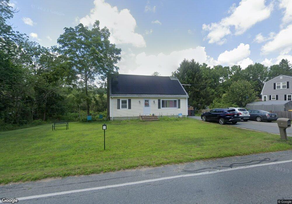
611 Main St Acushnet, MA 02743
Upper Acushnet NeighborhoodEstimated Value: $448,255 - $548,000
Studio
1
Bath
1,339
Sq Ft
$363/Sq Ft
Est. Value
About This Home
This home is located at 611 Main St, Acushnet, MA 02743 and is currently estimated at $486,314, approximately $363 per square foot. 611 Main St is a home located in Bristol County with nearby schools including Acushnet Elementary School, Albert F Ford Middle School, and Alma Del Mar Charter School.
Ownership History
Date
Name
Owned For
Owner Type
Purchase Details
Closed on
Mar 14, 1978
Bought by
Colvin Raymond F and Colvin Carol A
Current Estimated Value
Create a Home Valuation Report for This Property
The Home Valuation Report is an in-depth analysis detailing your home's value as well as a comparison with similar homes in the area
Home Values in the Area
Average Home Value in this Area
Purchase History
| Date | Buyer | Sale Price | Title Company |
|---|---|---|---|
| Colvin Raymond F | -- | -- |
Source: Public Records
Mortgage History
| Date | Status | Borrower | Loan Amount |
|---|---|---|---|
| Open | Colvin Raymond F | $94,496 | |
| Closed | Colvin Raymond F | $75,470 | |
| Closed | Colvin Raymond F | $35,000 |
Source: Public Records
Tax History
| Year | Tax Paid | Tax Assessment Tax Assessment Total Assessment is a certain percentage of the fair market value that is determined by local assessors to be the total taxable value of land and additions on the property. | Land | Improvement |
|---|---|---|---|---|
| 2025 | $37 | $343,100 | $127,300 | $215,800 |
| 2024 | $3,609 | $316,300 | $120,600 | $195,700 |
| 2023 | $3,618 | $301,500 | $109,400 | $192,100 |
| 2022 | $3,572 | $269,200 | $102,700 | $166,500 |
| 2021 | $3,334 | $241,100 | $102,700 | $138,400 |
| 2020 | $3,268 | $234,400 | $96,000 | $138,400 |
| 2019 | $3,098 | $218,500 | $91,600 | $126,900 |
| 2018 | $3,004 | $208,300 | $91,600 | $116,700 |
| 2017 | $2,902 | $201,000 | $91,600 | $109,400 |
| 2016 | $2,942 | $202,500 | $91,600 | $110,900 |
| 2015 | $2,707 | $189,600 | $91,600 | $98,000 |
Source: Public Records
Map
Nearby Homes
- 489 Main St
- 0 Land Way Unit 73479153
- 363 Main St
- 25 Pershing Ave
- 191 Hathaway Rd
- 23 Oliveira Ave
- 329 Middle Rd
- 0 Hathaway Rd Unit 73469544
- 12 White St
- 7 Hamlin St
- 134 Nyes Ln
- 23 Coury Dr
- 11 Boylston St
- 14 Hayes St Unit 1
- 12 Hayes St Unit 1
- 27 Meadow Ln
- 0 Keene Rd Unit 73459818
- 1015 Forbes St
- ES Acushnet Ave
- 40 Foley Dr
Your Personal Tour Guide
Ask me questions while you tour the home.