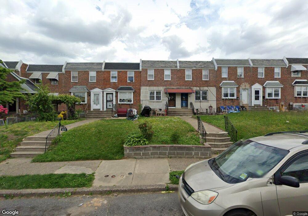
611 Mayfair St Unit A Philadelphia, PA 19120
Lawncrest NeighborhoodEstimated Value: $200,000 - $235,000
3
Beds
1
Bath
1,180
Sq Ft
$184/Sq Ft
Est. Value
About This Home
This home is located at 611 Mayfair St Unit A, Philadelphia, PA 19120 and is currently estimated at $216,845, approximately $183 per square foot. 611 Mayfair St Unit A is a home located in Philadelphia County with nearby schools including Samuel Fels High School, University Creighton Charter School, and Olney Christian School.
Ownership History
Date
Name
Owned For
Owner Type
Purchase Details
Closed on
Aug 17, 2004
Sold by
Sobral Joao L and Sobral Rosinda V
Bought by
Wang Yan Qing
Current Estimated Value
Home Financials for this Owner
Home Financials are based on the most recent Mortgage that was taken out on this home.
Original Mortgage
$66,000
Interest Rate
6.01%
Mortgage Type
New Conventional
Create a Home Valuation Report for This Property
The Home Valuation Report is an in-depth analysis detailing your home's value as well as a comparison with similar homes in the area
Home Values in the Area
Average Home Value in this Area
Purchase History
| Date | Buyer | Sale Price | Title Company |
|---|---|---|---|
| Wang Yan Qing | $109,900 | -- |
Source: Public Records
Mortgage History
| Date | Status | Borrower | Loan Amount |
|---|---|---|---|
| Closed | Wang Yan Qing | $66,000 |
Source: Public Records
Tax History Compared to Growth
Tax History
| Year | Tax Paid | Tax Assessment Tax Assessment Total Assessment is a certain percentage of the fair market value that is determined by local assessors to be the total taxable value of land and additions on the property. | Land | Improvement |
|---|---|---|---|---|
| 2025 | $2,160 | $196,600 | $39,320 | $157,280 |
| 2024 | $2,160 | $196,600 | $39,320 | $157,280 |
| 2023 | $2,160 | $154,300 | $30,860 | $123,440 |
| 2022 | $1,530 | $109,300 | $30,860 | $78,440 |
| 2021 | $1,481 | $0 | $0 | $0 |
| 2020 | $1,481 | $0 | $0 | $0 |
| 2019 | $1,421 | $0 | $0 | $0 |
| 2018 | $1,471 | $0 | $0 | $0 |
| 2017 | $1,471 | $0 | $0 | $0 |
| 2016 | $1,051 | $0 | $0 | $0 |
| 2015 | -- | $0 | $0 | $0 |
| 2014 | -- | $105,100 | $23,076 | $82,024 |
| 2012 | -- | $14,656 | $1,720 | $12,936 |
Source: Public Records
Map
Nearby Homes
- 678 Adams Ave
- 712 Mayfair St
- 728 Mayfair St
- 734 Landis St
- 736 Landis St
- 5516 Westford Rd
- 5166 Monturs St
- 5600 Arbor St
- 5441 Westford Rd
- 550 Allengrove St
- 565 E Tabor Rd
- 786 Smylie Rd
- 588 E Godfrey Ave
- 508 E Godfrey Ave
- 318 E Gale St
- 504 E Godfrey Ave
- 5539 B St
- 539 E Godfrey Ave
- 316 R E Clarkson Ave Unit 4
- 533 E Godfrey Ave
- 611 Mayfair St
- 609 Mayfair St
- 609 Mayfair St Unit A
- 613 Mayfair St
- 615 Mayfair St Unit A
- 615 Mayfair St
- 617 Mayfair St
- 608 Adams Ave
- 614 Adams Ave
- 610 Adams Ave
- 605 Mayfair St Unit A
- 605 Mayfair St
- 612 Adams Ave
- 619 Mayfair St
- 618 Adams Ave
- 606 Adams Ave Unit A
- 606 Adams Ave
- 621 Mayfair St
- 620 Adams Ave
- 622 Adams Ave