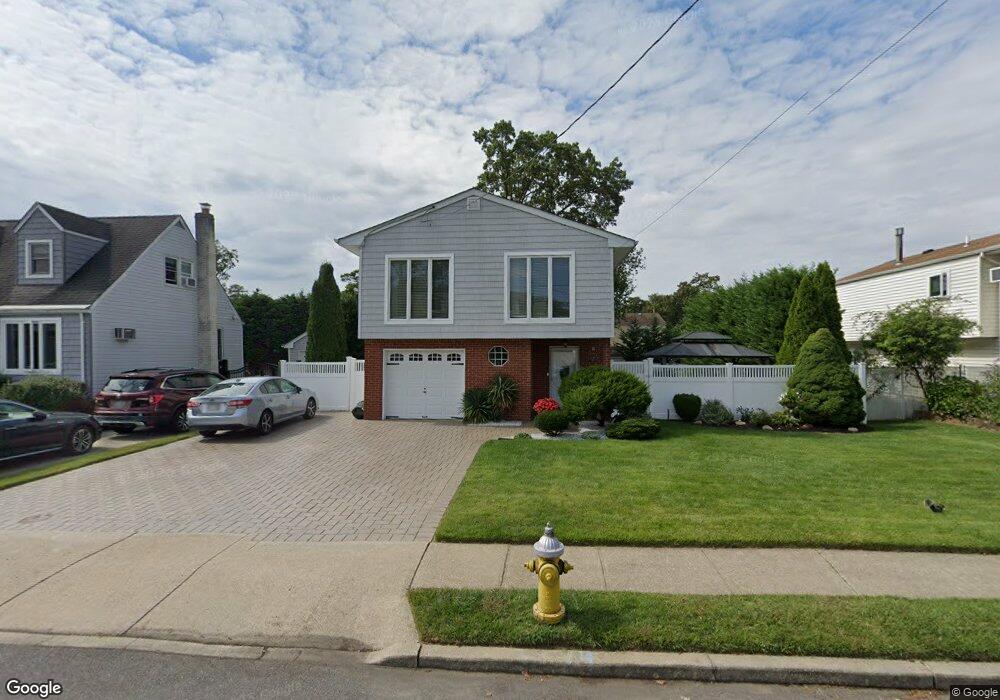
611 N Broome Ave Lindenhurst, NY 11757
Estimated Value: $694,000 - $873,000
5
Beds
3
Baths
1,938
Sq Ft
$393/Sq Ft
Est. Value
About This Home
This home is located at 611 N Broome Ave, Lindenhurst, NY 11757 and is currently estimated at $760,852, approximately $392 per square foot. 611 N Broome Ave is a home located in Suffolk County with nearby schools including Daniel Street School, Lindenhurst Middle School, and Lindenhurst Senior High School.
Ownership History
Date
Name
Owned For
Owner Type
Purchase Details
Closed on
Jun 20, 2002
Sold by
Derienzo Richard
Bought by
Opechowski Zenon and Opechowski Halina
Current Estimated Value
Home Financials for this Owner
Home Financials are based on the most recent Mortgage that was taken out on this home.
Original Mortgage
$188,300
Outstanding Balance
$80,236
Interest Rate
6.92%
Estimated Equity
$680,616
Purchase Details
Closed on
Jun 4, 1996
Sold by
Derienzo Richard and Derienzo Debra
Bought by
Derienzo Richard
Create a Home Valuation Report for This Property
The Home Valuation Report is an in-depth analysis detailing your home's value as well as a comparison with similar homes in the area
Home Values in the Area
Average Home Value in this Area
Purchase History
| Date | Buyer | Sale Price | Title Company |
|---|---|---|---|
| Opechowski Zenon | $269,000 | Fidelity National Title Ins | |
| Derienzo Richard | -- | -- |
Source: Public Records
Mortgage History
| Date | Status | Borrower | Loan Amount |
|---|---|---|---|
| Open | Opechowski Zenon | $188,300 |
Source: Public Records
Tax History Compared to Growth
Tax History
| Year | Tax Paid | Tax Assessment Tax Assessment Total Assessment is a certain percentage of the fair market value that is determined by local assessors to be the total taxable value of land and additions on the property. | Land | Improvement |
|---|---|---|---|---|
| 2024 | $13,031 | $3,790 | $220 | $3,570 |
| 2023 | $11,610 | $3,790 | $220 | $3,570 |
| 2022 | $10,575 | $3,790 | $220 | $3,570 |
| 2021 | $10,575 | $3,790 | $220 | $3,570 |
| 2020 | $10,514 | $3,790 | $220 | $3,570 |
| 2019 | $11,764 | $0 | $0 | $0 |
| 2018 | $9,929 | $3,790 | $220 | $3,570 |
| 2017 | $9,929 | $3,790 | $220 | $3,570 |
| 2016 | $10,515 | $3,920 | $220 | $3,700 |
| 2015 | -- | $3,920 | $220 | $3,700 |
| 2014 | -- | $3,920 | $220 | $3,700 |
Source: Public Records
Map
Nearby Homes
- 37 Newark St
- 22 Lenox St
- 656 N Greene Ave
- 405 N Clinton Ave
- 468 N Greene Ave
- 940 N Erie Ave
- 449 N Indiana Ave
- 7 Gary St
- 557 N Kings Ave
- 957 N Fulton Ave
- 52 Dover St
- 303 42nd St
- 465 N Monroe Ave
- 457 N Monroe Ave
- 417 N Monroe Ave
- 22 Bristol St
- 247 N Greene Ave
- 126 Farmers Ave
- 143 33rd St
- 436 N Ontario Ave
- 625 N Broome Ave
- 605 N Broome Ave
- 610 N Alleghany Ave
- 90 Newark St
- 620 N Alleghany Ave
- 633 N Broome Ave
- 612 N Broome Ave
- 606 N Broome Ave
- 628 N Alleghany Ave
- 620 N Broome Ave
- 108 Newark St
- 593 N Broome Ave
- 636 N Alleghany Ave
- 628 N Broome Ave
- 641 N Broome Ave
- 850 N Alleghany Ave
- 109 Newark St
- 636 N Broome Ave
- 607 N Clinton Ave
- 85 Newark St