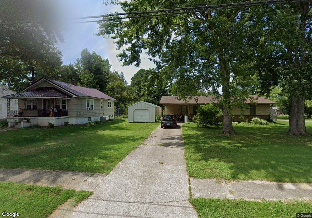
611 N Main St Carrier Mills, IL 62917
Estimated Value: $35,000 - $61,000
--
Bed
--
Bath
--
Sq Ft
10,019
Sq Ft Lot
About This Home
This home is located at 611 N Main St, Carrier Mills, IL 62917 and is currently estimated at $49,260. 611 N Main St is a home with nearby schools including Carrier Mills-Stonefort Elementary School and Carrier Mills-Stonefort High School.
Ownership History
Date
Name
Owned For
Owner Type
Purchase Details
Closed on
Jun 20, 2019
Sold by
Deaton Fred and Deaton Christine
Bought by
Moczulewski Paul S and Rice Lori R
Current Estimated Value
Purchase Details
Closed on
Feb 4, 2019
Sold by
Rodgers Mary Annette
Bought by
Liberty Utilities Corp
Purchase Details
Closed on
Feb 13, 2009
Sold by
Bohne Mary and Slocum Carol
Bought by
Deaton Fred and Deaton Christine
Create a Home Valuation Report for This Property
The Home Valuation Report is an in-depth analysis detailing your home's value as well as a comparison with similar homes in the area
Home Values in the Area
Average Home Value in this Area
Purchase History
| Date | Buyer | Sale Price | Title Company |
|---|---|---|---|
| Moczulewski Paul S | $28,000 | Attorney | |
| Liberty Utilities Corp | $10,000 | Attorney | |
| Deaton Fred | $12,000 | None Available |
Source: Public Records
Tax History Compared to Growth
Tax History
| Year | Tax Paid | Tax Assessment Tax Assessment Total Assessment is a certain percentage of the fair market value that is determined by local assessors to be the total taxable value of land and additions on the property. | Land | Improvement |
|---|---|---|---|---|
| 2023 | $245 | $10,558 | $1,804 | $8,754 |
| 2022 | $250 | $9,820 | $1,678 | $8,142 |
| 2021 | $261 | $8,928 | $1,526 | $7,402 |
| 2020 | $253 | $8,660 | $1,480 | $7,180 |
| 2019 | $877 | $8,660 | $1,480 | $7,180 |
| 2018 | $896 | $8,660 | $1,480 | $7,180 |
| 2017 | $915 | $8,660 | $1,480 | $7,180 |
| 2016 | $8 | $8,660 | $1,480 | $7,180 |
| 2015 | -- | $8,660 | $1,480 | $7,180 |
| 2014 | $743 | $8,660 | $1,480 | $7,180 |
| 2013 | $743 | $8,660 | $1,480 | $7,180 |
| 2012 | $743 | $8,660 | $1,480 | $7,180 |
Source: Public Records
Map
Nearby Homes
- 603 N Main St
- 437 N Thompson St
- 205 W Washington St
- 315 W Furlong St
- 720 N Mill St
- 518 Fife St
- 736 N Mill St
- 104 Deborann Dr
- 109 Delanor Dr
- 1501 Duncan Rd
- 1501 Duncan Rd
- 0 Frond Rd Unit Lot WP001
- 002 Robinson Hill Rd
- 000 Robinson Hill Rd
- 001 Robinson Hill Rd
- 0 Rock Hole Rd
- 315 Lighthouse Rd
- 615 Liberty Rd
- 7034 Parks Ln
- Robinson Hill Rd Unit LotWP001