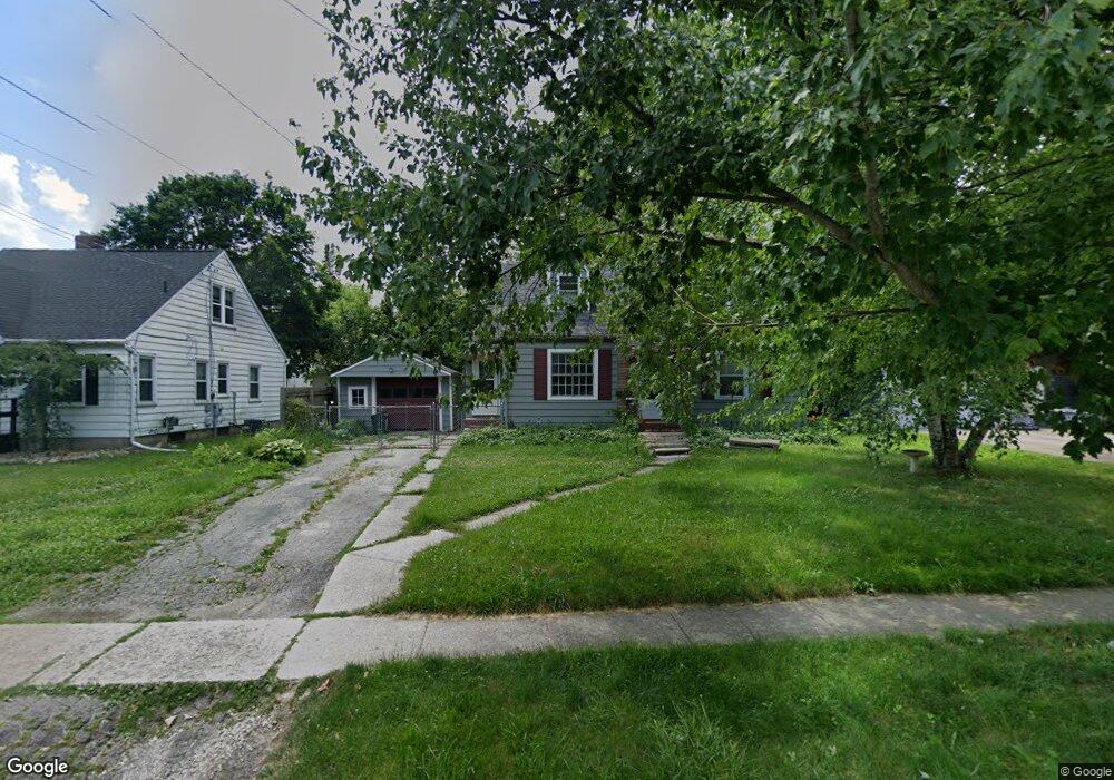
611 N Union St Tecumseh, MI 49286
Estimated Value: $181,687 - $209,000
3
Beds
1
Bath
970
Sq Ft
$197/Sq Ft
Est. Value
About This Home
This home is located at 611 N Union St, Tecumseh, MI 49286 and is currently estimated at $191,422, approximately $197 per square foot. 611 N Union St is a home located in Lenawee County with nearby schools including Patterson Elementary School, Tecumseh Middle School, and Tecumseh High School.
Ownership History
Date
Name
Owned For
Owner Type
Purchase Details
Closed on
Jun 17, 2011
Sold by
Clark Samuel Lynn
Bought by
Dixon Karen M
Current Estimated Value
Home Financials for this Owner
Home Financials are based on the most recent Mortgage that was taken out on this home.
Original Mortgage
$29,625
Outstanding Balance
$20,356
Interest Rate
4.56%
Mortgage Type
New Conventional
Estimated Equity
$171,066
Purchase Details
Closed on
Aug 27, 2007
Sold by
Belaire Justin A
Bought by
Clark Samuel Lynn
Home Financials for this Owner
Home Financials are based on the most recent Mortgage that was taken out on this home.
Original Mortgage
$124,600
Interest Rate
6.72%
Mortgage Type
New Conventional
Create a Home Valuation Report for This Property
The Home Valuation Report is an in-depth analysis detailing your home's value as well as a comparison with similar homes in the area
Home Values in the Area
Average Home Value in this Area
Purchase History
| Date | Buyer | Sale Price | Title Company |
|---|---|---|---|
| Dixon Karen M | $39,500 | None Available | |
| Clark Samuel Lynn | $123,600 | None Available |
Source: Public Records
Mortgage History
| Date | Status | Borrower | Loan Amount |
|---|---|---|---|
| Open | Dixon Karen M | $29,625 | |
| Previous Owner | Clark Samuel Lynn | $124,600 |
Source: Public Records
Tax History
| Year | Tax Paid | Tax Assessment Tax Assessment Total Assessment is a certain percentage of the fair market value that is determined by local assessors to be the total taxable value of land and additions on the property. | Land | Improvement |
|---|---|---|---|---|
| 2025 | $2,955 | $69,200 | $0 | $0 |
| 2024 | $26 | $67,000 | $0 | $0 |
| 2023 | $2,877 | $63,700 | $0 | $0 |
| 2022 | $2,759 | $56,700 | $0 | $0 |
| 2021 | $2,847 | $53,900 | $0 | $0 |
| 2020 | $2,817 | $48,800 | $0 | $0 |
| 2019 | $2,768 | $45,900 | $7,100 | $38,800 |
| 2017 | $2,617 | $45,000 | $7,100 | $37,900 |
| 2016 | $2,612 | $42,600 | $6,500 | $36,100 |
| 2014 | $1,844 | $39,900 | $8,300 | $31,600 |
Source: Public Records
Map
Nearby Homes
- 741 Lone Oak Way
- 739 Lone Oak Way
- 747 Lone Oak Way
- 730 Red Mill Point
- 723 Red Mill Point
- 732 Red Mill Point
- 736 Eagle View Way
- 734 Eagle View Way
- 728 Red Mill Point
- 740 Eagle View Way
- 742 Eagle View Way
- 724 Red Mill Point
- 744 Eagle View Way
- 726 Red Mill Point
- 748 Eagle View Way
- 752 Eagle View Way
- 756 Eagle View Way Unit 18 Lone Oak of
- 758 Eagle View Way
- 406 Seminole Dr
- 765 Eagle View Point
Your Personal Tour Guide
Ask me questions while you tour the home.