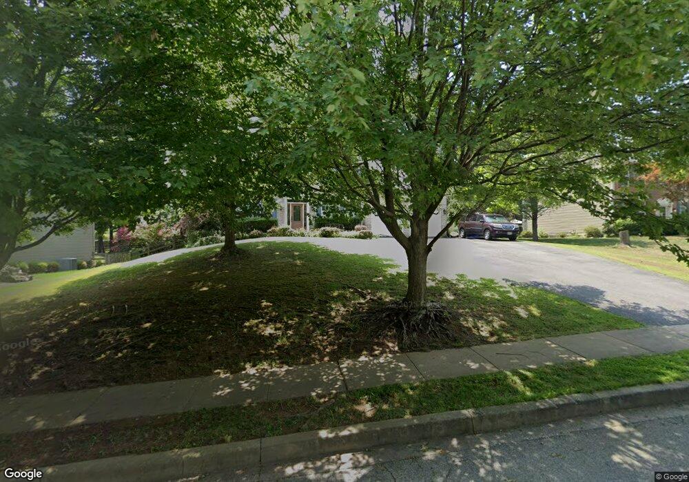
611 Park Ridge Dr Mount Airy, MD 21771
Estimated Value: $683,525 - $776,000
--
Bed
3
Baths
2,744
Sq Ft
$267/Sq Ft
Est. Value
About This Home
This home is located at 611 Park Ridge Dr, Mount Airy, MD 21771 and is currently estimated at $732,381, approximately $266 per square foot. 611 Park Ridge Dr is a home located in Frederick County with nearby schools including Twin Ridge Elementary School, Windsor Knolls Middle School, and Linganore High School.
Ownership History
Date
Name
Owned For
Owner Type
Purchase Details
Closed on
Nov 2, 2011
Sold by
Gorman Donald W and Francis Nina D
Bought by
Gorman Donald W
Current Estimated Value
Home Financials for this Owner
Home Financials are based on the most recent Mortgage that was taken out on this home.
Original Mortgage
$353,702
Outstanding Balance
$240,023
Interest Rate
3.92%
Mortgage Type
FHA
Estimated Equity
$492,358
Purchase Details
Closed on
Dec 24, 1996
Sold by
Grayson Homes Inc
Bought by
Gorman Donald W and Gorman Nina D
Create a Home Valuation Report for This Property
The Home Valuation Report is an in-depth analysis detailing your home's value as well as a comparison with similar homes in the area
Home Values in the Area
Average Home Value in this Area
Purchase History
| Date | Buyer | Sale Price | Title Company |
|---|---|---|---|
| Gorman Donald W | -- | None Available | |
| Gorman Donald W | $270,979 | -- |
Source: Public Records
Mortgage History
| Date | Status | Borrower | Loan Amount |
|---|---|---|---|
| Open | Gorman Donald W | $353,702 |
Source: Public Records
Tax History Compared to Growth
Tax History
| Year | Tax Paid | Tax Assessment Tax Assessment Total Assessment is a certain percentage of the fair market value that is determined by local assessors to be the total taxable value of land and additions on the property. | Land | Improvement |
|---|---|---|---|---|
| 2025 | $6,828 | $573,100 | -- | -- |
| 2024 | $6,828 | $535,600 | $132,100 | $403,500 |
| 2023 | $6,193 | $504,500 | $0 | $0 |
| 2022 | $5,902 | $473,400 | $0 | $0 |
| 2021 | $5,594 | $442,300 | $97,400 | $344,900 |
| 2020 | $5,594 | $439,800 | $0 | $0 |
| 2019 | $5,565 | $437,300 | $0 | $0 |
| 2018 | $5,590 | $434,800 | $97,400 | $337,400 |
| 2017 | $5,448 | $434,800 | $0 | $0 |
| 2016 | $4,870 | $419,667 | $0 | $0 |
| 2015 | $4,870 | $412,100 | $0 | $0 |
| 2014 | $4,870 | $412,100 | $0 | $0 |
Source: Public Records
Map
Nearby Homes
- 1201 Whitetail Ct
- 1003 Meadowgreen Dr
- 704 Meadow Field Ct
- 13848 Old National Pike
- 208 East Rd
- 202 Troon Cir
- 14 Park Ave
- 203 Montgomery Ave
- 211 Carroll Ave
- .58+- ACRES Center St
- 1010 Parade Ln
- 5858 Woodville Rd
- 902 Parade Ln
- 1402 Woodenbridge Ln
- 7884 Bennett Branch Rd
- 4313 Millwood Rd
- 1506 Summer Sweet Ln
- 0 Dogwood Dr
- 1008 N Main St
- 692 Ridge Rd
- 613 Park Ridge Dr
- 609 Park Ridge Dr
- 615 Park Ridge Dr
- 1111 Poplar Grove Ct
- 1109 Poplar Grove Ct
- 600 Poplar Grove Dr
- 1107 Poplar Grove Ct
- 614 Park Ridge Dr
- 602 Poplar Grove Dr
- 616 Park Ridge Dr
- 617 Park Ridge Dr
- 612 Park Ridge Dr
- 1113 Poplar Grove Ct
- 604 Poplar Grove Dr
- 618 Park Ridge Dr
- 610 Park Ridge Dr
- 619 Park Ridge Dr
- 511 Acorn Ct
- 601 Poplar Grove Dr
- 620 Park Ridge Dr