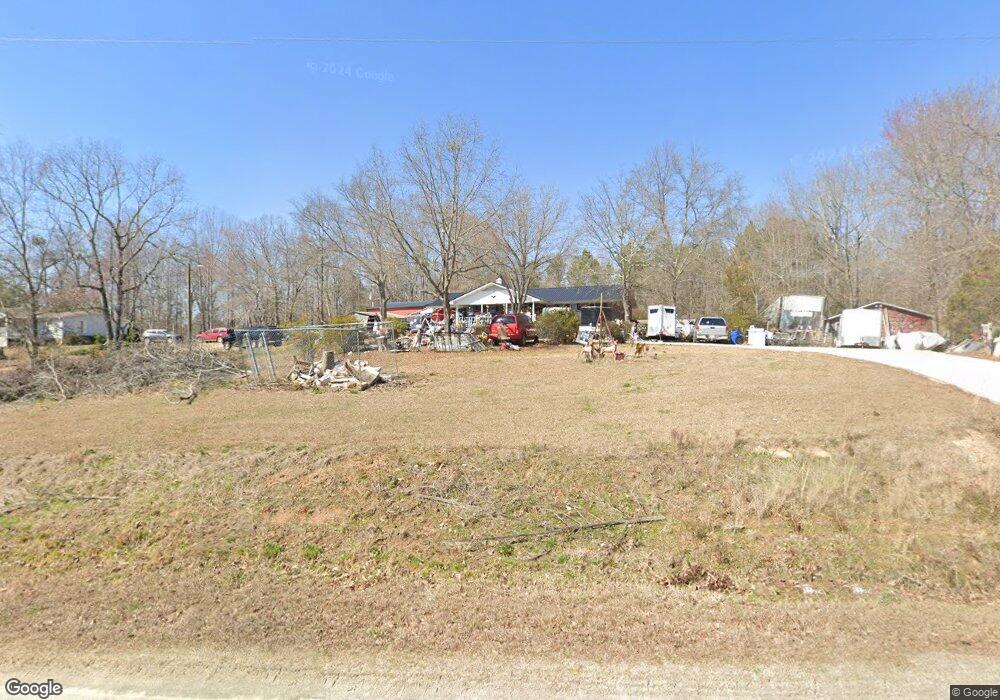
611 Parsons Rd Woodruff, SC 29388
Estimated Value: $251,000 - $369,478
3
Beds
2
Baths
1,363
Sq Ft
$210/Sq Ft
Est. Value
About This Home
This home is located at 611 Parsons Rd, Woodruff, SC 29388 and is currently estimated at $286,870, approximately $210 per square foot. 611 Parsons Rd is a home located in Spartanburg County with nearby schools including Woodruff Primary School, Woodruff Elementary School, and Woodruff Middle School.
Ownership History
Date
Name
Owned For
Owner Type
Purchase Details
Closed on
May 1, 2006
Sold by
Hunter Dora Rebecca Vaughn
Bought by
Dunn Cathy and Corona Jose
Current Estimated Value
Home Financials for this Owner
Home Financials are based on the most recent Mortgage that was taken out on this home.
Original Mortgage
$92,250
Outstanding Balance
$52,921
Interest Rate
6.33%
Mortgage Type
Stand Alone Second
Estimated Equity
$233,949
Create a Home Valuation Report for This Property
The Home Valuation Report is an in-depth analysis detailing your home's value as well as a comparison with similar homes in the area
Home Values in the Area
Average Home Value in this Area
Purchase History
| Date | Buyer | Sale Price | Title Company |
|---|---|---|---|
| Dunn Cathy | $100,000 | None Available |
Source: Public Records
Mortgage History
| Date | Status | Borrower | Loan Amount |
|---|---|---|---|
| Open | Dunn Cathy | $92,250 |
Source: Public Records
Tax History Compared to Growth
Tax History
| Year | Tax Paid | Tax Assessment Tax Assessment Total Assessment is a certain percentage of the fair market value that is determined by local assessors to be the total taxable value of land and additions on the property. | Land | Improvement |
|---|---|---|---|---|
| 2025 | $1,212 | $6,189 | $2,239 | $3,950 |
| 2024 | $1,212 | $6,189 | $2,239 | $3,950 |
| 2023 | $1,212 | $6,189 | $2,239 | $3,950 |
| 2022 | $954 | $5,362 | $1,777 | $3,585 |
| 2021 | $964 | $5,362 | $1,777 | $3,585 |
| 2020 | $884 | $5,362 | $1,777 | $3,585 |
| 2019 | $894 | $5,362 | $1,777 | $3,585 |
| 2018 | $828 | $5,362 | $1,777 | $3,585 |
| 2017 | $763 | $4,679 | $1,683 | $2,996 |
| 2016 | $768 | $4,679 | $1,683 | $2,996 |
| 2015 | $2,397 | $6,745 | $2,251 | $4,494 |
| 2014 | $758 | $4,678 | $1,682 | $2,996 |
Source: Public Records
Map
Nearby Homes
- 0 Parsons Rd
- 25 State Road S-42-2983
- 17 State Road S-42-2983
- 455 Lee's Corner Rd
- 455 Lee's Corner Ln Unit NPG 165 Abbey B
- 453 Lee's Corner Rd
- 451 Lee's Corner Rd
- 453 Lees Corner Ln Unit NPG 166 Abbey A
- 451 Lees Corner Ln Unit NPG 167 Carlton A1E
- 447 Lee's Corner Rd
- 445 Lee's Corner Rd
- 443 Lee's Corner Rd
- 447 Lees Corner Ln Unit NPG 168 Carlton A1E
- 445 Lees Corner Ln Unit NPG 169 Abbey B
- 443 Lees Corner Ln Unit NPG 170 Abbey A
- 416 Lees Corner Ln
- 416 Lees Corner Ln Unit NPW 106 Crestwind C
- 423 Lees Corner Ln
- 423 Lees Corner Ln Unit NPW 99 Sweetbay B
- 419 Lees Corner Ln
- 603 Parsons Rd
- 640 Parsons Rd
- 702 Parsons Rd
- 6316 Parsons Rd
- 651 Parsons Rd
- 210 Carlton Rd
- 435 Parsons Rd
- 510 Parsons Rd
- 490 Parsons Rd
- 220 Carlton Rd
- 1305 Edwards Rd
- 1307 Edwards Rd
- 283 Parsons Rd
- 222 Carlton Rd
- 209 Carlton Rd
- 1300 Edwards Rd
- 317 Parsons Rd
- 260 Carlton Rd
- 223 Parsons Rd
- 263 Parsons Rd