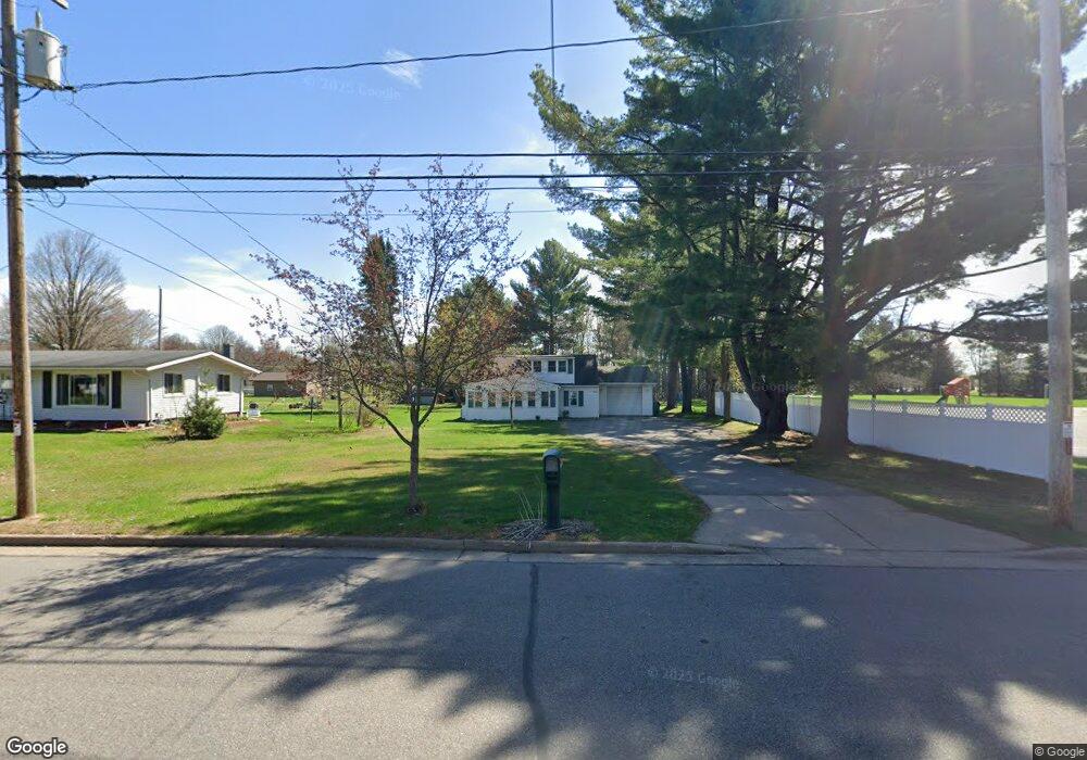
611 S 36th Ave Wausau, WI 54401
Estimated Value: $150,000 - $204,000
2
Beds
1
Bath
1,217
Sq Ft
$143/Sq Ft
Est. Value
About This Home
This home is located at 611 S 36th Ave, Wausau, WI 54401 and is currently estimated at $174,619, approximately $143 per square foot. 611 S 36th Ave is a home located in Marathon County with nearby schools including Stettin Elementary School, John Muir Middle School, and West High School.
Ownership History
Date
Name
Owned For
Owner Type
Purchase Details
Closed on
Jan 22, 2010
Sold by
Kleinschmidt Keli
Bought by
Barr Charlene A
Current Estimated Value
Purchase Details
Closed on
Aug 14, 2009
Sold by
Heeren Marcella L and Lewens Marcella L
Bought by
Barr Charlene A and Kleinschmidt Keli
Home Financials for this Owner
Home Financials are based on the most recent Mortgage that was taken out on this home.
Original Mortgage
$104,000
Interest Rate
5.28%
Mortgage Type
Unknown
Create a Home Valuation Report for This Property
The Home Valuation Report is an in-depth analysis detailing your home's value as well as a comparison with similar homes in the area
Home Values in the Area
Average Home Value in this Area
Purchase History
| Date | Buyer | Sale Price | Title Company |
|---|---|---|---|
| Barr Charlene A | -- | None Available | |
| Barr Charlene A | $65,000 | Clt |
Source: Public Records
Mortgage History
| Date | Status | Borrower | Loan Amount |
|---|---|---|---|
| Previous Owner | Barr Charlene A | $104,000 |
Source: Public Records
Tax History Compared to Growth
Tax History
| Year | Tax Paid | Tax Assessment Tax Assessment Total Assessment is a certain percentage of the fair market value that is determined by local assessors to be the total taxable value of land and additions on the property. | Land | Improvement |
|---|---|---|---|---|
| 2024 | $2,129 | $113,500 | $32,900 | $80,600 |
| 2023 | $1,843 | $75,000 | $29,800 | $45,200 |
| 2022 | $1,843 | $75,000 | $29,800 | $45,200 |
| 2021 | $1,783 | $75,000 | $29,800 | $45,200 |
| 2020 | $1,811 | $75,000 | $29,800 | $45,200 |
| 2019 | $1,783 | $69,000 | $23,600 | $45,400 |
| 2018 | $1,757 | $69,000 | $23,600 | $45,400 |
| 2017 | $1,694 | $69,000 | $23,600 | $45,400 |
| 2016 | $1,647 | $69,000 | $23,600 | $45,400 |
| 2015 | $1,690 | $69,000 | $23,600 | $45,400 |
| 2014 | $1,719 | $73,600 | $25,800 | $47,800 |
Source: Public Records
Map
Nearby Homes
- 310 Lisbeth Rd
- 2812 Hubbill Ave
- 3401 Christian Ave
- 210 S 45th Ave
- 206 N 44th Ave
- 2102 Wegner St
- 4615 Rib River Trail
- 2117 Sherman St
- 1708 Pardee St
- 213 N 17th Ave
- 931 S 14th Ave
- 1438 Madison St
- 5713 Birchwood Dr
- 210 Bluestone Dr
- 1423 Lake St
- 1016 Stewart Ave
- 303 Rimrock Rd
- 1601 Chellis St Unit 1607,1611Chellis,142
- 306 S 10th Ave
- 6007 Birchwood Dr
- 617 S 36th Ave
- 607 S 36th Ave
- 629 S 36th Ave
- 603 S 36th Ave
- 3503 Honeysuckle Ln
- 608 S 36th Ave
- 3508 Stewart Ave
- 3552 Stewart Ave
- 3510 Stewart Ave
- 3417 Honeysuckle Ln
- 3532 Stewart Ave
- 3550 Stewart Ave
- 3550 Stewart Ave Unit 3558
- 3512 Stewart Ave
- 3530 Stewart Ave
- 612 S 36th Ave
- 622 S 36th Ave
- 3513 Honeysuckle Ln
- 3407 Honeysuckle Ln
- 604 S 36th Ave