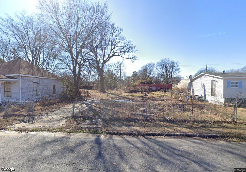
611 S Railroad St Mc Gehee, AR 71654
Estimated Value: $78,000
2
Beds
1
Bath
800
Sq Ft
$98/Sq Ft
Est. Value
About This Home
This home is located at 611 S Railroad St, Mc Gehee, AR 71654 and is currently estimated at $78,000, approximately $97 per square foot. 611 S Railroad St is a home located in Desha County with nearby schools including McGehee Elementary School, Conner Middle School, and McGehee High School.
Ownership History
Date
Name
Owned For
Owner Type
Purchase Details
Closed on
Nov 1, 2020
Sold by
Fairgreen Fields T
Bought by
Bass Clarence and Bass Sandra
Current Estimated Value
Purchase Details
Closed on
Aug 13, 2019
Sold by
Jec T
Bought by
Fairgreen Fields T
Purchase Details
Closed on
Mar 20, 2006
Sold by
Deputy Commissioner Of State Lands Arkan
Bought by
Cook Charity
Purchase Details
Closed on
Feb 27, 2006
Sold by
County Of Desha
Bought by
Cook Charity
Purchase Details
Closed on
Jun 27, 1994
Bought by
Diane Mosby Int
Purchase Details
Closed on
Jul 24, 1975
Bought by
Handley Ford Newhouse Burnett
Create a Home Valuation Report for This Property
The Home Valuation Report is an in-depth analysis detailing your home's value as well as a comparison with similar homes in the area
Home Values in the Area
Average Home Value in this Area
Purchase History
| Date | Buyer | Sale Price | Title Company |
|---|---|---|---|
| Bass Clarence | $2,900 | None Available | |
| Fairgreen Fields T | $537 | -- | |
| Cook Charity | -- | None Available | |
| Cook Charity | -- | None Available | |
| Diane Mosby Int | -- | -- | |
| Handley Ford Newhouse Burnett | $1,000 | -- |
Source: Public Records
Tax History Compared to Growth
Tax History
| Year | Tax Paid | Tax Assessment Tax Assessment Total Assessment is a certain percentage of the fair market value that is determined by local assessors to be the total taxable value of land and additions on the property. | Land | Improvement |
|---|---|---|---|---|
| 2025 | $23 | $440 | $400 | $40 |
| 2024 | $23 | $440 | $400 | $40 |
| 2023 | $23 | $440 | $400 | $40 |
| 2022 | $29 | $440 | $400 | $40 |
| 2021 | $31 | $480 | $400 | $80 |
| 2020 | $31 | $480 | $400 | $80 |
| 2019 | $31 | $480 | $400 | $80 |
| 2018 | $31 | $480 | $400 | $80 |
| 2017 | $31 | $480 | $400 | $80 |
| 2015 | -- | $1,290 | $400 | $890 |
| 2014 | -- | $1,290 | $400 | $890 |
| 2013 | -- | $1,290 | $400 | $890 |
Source: Public Records
Map
Nearby Homes
- Lot 2 S 1st St
- Lot 1 S 1st St
- 205 S 2nd St
- 110 S Adams Ave
- Lots 6-7 Bush St
- 0 Masonville Rd Unit 25037306
- Lot 2 Cypress Gardens
- 209 Sherwood St
- 1 Shannon Dr
- 1108 N 2nd St
- 109 Ashcraft St
- 604 Highway 65 S
- 32 Shannon Dr
- Vacant land Cater Ln
- 1608 N 3rd St
- 6 Paul St
- 22 Orlando Dr
- Lot 7 W Matthews St
- Lot 5 Deer St
- 0 N Hardy St
- 613 S Railroad St
- 112 E Hazel St
- 612 S 1st St
- 107 E Hazel St
- 110 E Hazel St
- 517 S Railroad St
- 701 S Railroad St
- 512 Midway Alley
- 109 E Hazel St
- 511 S Railroad St
- 511 S Railroad St
- 611 S 1st St
- 618 S 1st St
- 622 S 1st St
- 707 S Railroad St
- 706 S 1st St
- 709 S Railroad St
- 606 S 2nd St
- 610 S 2nd St
- 600 S 2nd St