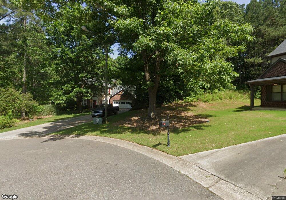
611 Sherwood Ct Canton, GA 30114
Estimated Value: $422,291 - $438,000
3
Beds
3
Baths
1,924
Sq Ft
$224/Sq Ft
Est. Value
About This Home
This home is located at 611 Sherwood Ct, Canton, GA 30114 and is currently estimated at $430,146, approximately $223 per square foot. 611 Sherwood Ct is a home located in Cherokee County with nearby schools including Sixes Elementary School, Freedom Middle School, and Woodstock High School.
Ownership History
Date
Name
Owned For
Owner Type
Purchase Details
Closed on
Dec 18, 1998
Sold by
Custom One Hms Llc
Bought by
Brooks Lance H
Current Estimated Value
Home Financials for this Owner
Home Financials are based on the most recent Mortgage that was taken out on this home.
Original Mortgage
$139,550
Outstanding Balance
$31,212
Interest Rate
6.87%
Mortgage Type
Purchase Money Mortgage
Estimated Equity
$398,934
Create a Home Valuation Report for This Property
The Home Valuation Report is an in-depth analysis detailing your home's value as well as a comparison with similar homes in the area
Home Values in the Area
Average Home Value in this Area
Purchase History
| Date | Buyer | Sale Price | Title Company |
|---|---|---|---|
| Brooks Lance H | $140,800 | -- |
Source: Public Records
Mortgage History
| Date | Status | Borrower | Loan Amount |
|---|---|---|---|
| Open | Brooks Lance H | $139,550 |
Source: Public Records
Tax History Compared to Growth
Tax History
| Year | Tax Paid | Tax Assessment Tax Assessment Total Assessment is a certain percentage of the fair market value that is determined by local assessors to be the total taxable value of land and additions on the property. | Land | Improvement |
|---|---|---|---|---|
| 2025 | $6,726 | $150,400 | $34,000 | $116,400 |
| 2024 | $3,656 | $147,760 | $32,000 | $115,760 |
| 2023 | $3,698 | $147,840 | $32,000 | $115,840 |
| 2022 | $3,296 | $126,720 | $28,000 | $98,720 |
| 2021 | $2,286 | $100,080 | $22,200 | $77,880 |
| 2020 | $2,759 | $91,040 | $20,000 | $71,040 |
| 2019 | $1,844 | $77,680 | $18,800 | $58,880 |
| 2018 | $2,466 | $76,480 | $18,800 | $57,680 |
| 2017 | $2,266 | $173,500 | $16,000 | $53,400 |
| 2016 | $1,673 | $169,000 | $16,000 | $51,600 |
| 2015 | $1,448 | $145,900 | $14,000 | $44,360 |
| 2014 | $1,432 | $144,100 | $14,000 | $43,640 |
Source: Public Records
Map
Nearby Homes
- 203 Brookhaven Place
- 346 Wells Cir
- 283 Wells Cir
- 279 Wells Cir
- 1302 Sixes Rd
- 3161 Marble Quarry Rd
- 130 Crestmont Dr
- 1415 Sixes Rd
- 1620 Palm St
- 1000 Rabbit Hill Rd
- 1243 Palm Ridge Trace
- 104 Kremer Falls Trace
- 104 Kremer Falls Trc
- 1414 Palm St
- 417 Crestmont Ln
- 251 Manous Way
- 421 Crestmont Ln
- 1104 Palm St
- 601 Sherwood Ct
- 620 Sherwood Ct Unit 1
- 530 Wentworth Ct
- 302 Brookhaven Way
- 304 Brookhaven Way
- 610 Sherwood Ct
- 0 Sherwood Ct Unit 7257073
- 600 Sherwood Ct
- 111 Brookhaven Ln
- 300 Brookhaven Way
- 0 Wentworth Ct Unit 8423557
- 0 Wentworth Ct Unit 7552246
- 303 Brookhaven Way
- 511 Wentworth Ct Unit 1
- 521 Wentworth Ct
- 301 Brookhaven Way
- 180 Wentworth Dr Unit 54
- 180 Wentworth Dr
- 113 Brookhaven Ln
- 190 Wentworth Dr