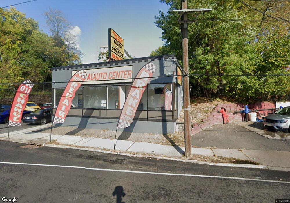
611 Us Highway 22 Hillside, NJ 07205
Estimated Value: $723,859
Studio
--
Bath
2,775
Sq Ft
$261/Sq Ft
Est. Value
About This Home
This home is located at 611 Us Highway 22, Hillside, NJ 07205 and is currently estimated at $723,859, approximately $260 per square foot. 611 Us Highway 22 is a home with nearby schools including Abram P. Morris-Saybrook Elementary School, Calvin Coolidge Elementary School, and Hurden Looker School.
Ownership History
Date
Name
Owned For
Owner Type
Purchase Details
Closed on
Dec 24, 2024
Sold by
United Business Association Of Nj Limite
Bought by
Z & A Capital Holdings Llc
Current Estimated Value
Purchase Details
Closed on
Jun 26, 2020
Sold by
Scoots Llc
Bought by
Umted Business Association Of Nj Llc
Home Financials for this Owner
Home Financials are based on the most recent Mortgage that was taken out on this home.
Original Mortgage
$360,000
Interest Rate
3.1%
Mortgage Type
Commercial
Purchase Details
Closed on
Apr 19, 2001
Sold by
611 Route 22 West Corp
Bought by
Scoots Llc
Home Financials for this Owner
Home Financials are based on the most recent Mortgage that was taken out on this home.
Original Mortgage
$145,000
Interest Rate
6.88%
Mortgage Type
Commercial
Purchase Details
Closed on
Mar 30, 1998
Sold by
Sherman Robert and Sherman Phyllis
Bought by
611 Route 22 West Corp
Create a Home Valuation Report for This Property
The Home Valuation Report is an in-depth analysis detailing your home's value as well as a comparison with similar homes in the area
Home Values in the Area
Average Home Value in this Area
Purchase History
| Date | Buyer | Sale Price | Title Company |
|---|---|---|---|
| Z & A Capital Holdings Llc | $3,000,000 | Main Street Title | |
| Z & A Capital Holdings Llc | $3,000,000 | Main Street Title | |
| Umted Business Association Of Nj Llc | $450,000 | Old Republic Title | |
| Scoots Llc | $245,000 | Commonwealth Land Title Ins | |
| 611 Route 22 West Corp | -- | -- |
Source: Public Records
Mortgage History
| Date | Status | Borrower | Loan Amount |
|---|---|---|---|
| Previous Owner | Umted Business Association Of Nj Llc | $360,000 | |
| Previous Owner | Scoots Llc | $145,000 |
Source: Public Records
Tax History
| Year | Tax Paid | Tax Assessment Tax Assessment Total Assessment is a certain percentage of the fair market value that is determined by local assessors to be the total taxable value of land and additions on the property. | Land | Improvement |
|---|---|---|---|---|
| 2025 | $15,268 | $185,000 | $129,400 | $55,600 |
| 2024 | $14,824 | $185,000 | $129,400 | $55,600 |
| 2023 | $14,824 | $185,000 | $129,400 | $55,600 |
| 2022 | $14,687 | $185,000 | $129,400 | $55,600 |
| 2021 | $14,591 | $185,000 | $129,400 | $55,600 |
| 2020 | $14,506 | $185,000 | $129,400 | $55,600 |
| 2019 | $14,225 | $185,000 | $129,400 | $55,600 |
| 2018 | $14,082 | $185,000 | $129,400 | $55,600 |
| 2017 | $13,997 | $185,000 | $129,400 | $55,600 |
| 2016 | $13,980 | $185,000 | $129,400 | $55,600 |
| 2015 | $13,857 | $185,000 | $129,400 | $55,600 |
| 2014 | $13,638 | $185,000 | $129,400 | $55,600 |
Source: Public Records
Map
Nearby Homes
- 564 Chapman St
- 542 Leo St
- 537 Us Highway 22
- 552 Paul St Unit 8
- 525 Us Highway 22
- 1611 N Sunset Place
- 1250 Erhardt St
- 1393 Cornell Place
- 386 Yale Ave
- 359 Harvard Ave
- 120 Parkside Dr
- 260 Millard Ave
- 1453 Morris Ave
- 222 Boston Ave
- 339 Hillside Ave
- 339 Hillside Ave Unit 2
- 600 Plymouth Rd
- 1218 Schmidt Ave
- 1779 Oak Hill Dr
- 1426 Franklin St
Your Personal Tour Guide
Ask me questions while you tour the home.