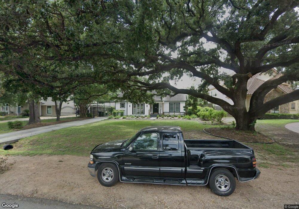
611 W 30th St Houston, TX 77018
Oak Forest-Garden Oaks NeighborhoodEstimated Value: $656,528 - $830,000
4
Beds
3
Baths
2,151
Sq Ft
$347/Sq Ft
Est. Value
About This Home
This home is located at 611 W 30th St, Houston, TX 77018 and is currently estimated at $745,882, approximately $346 per square foot. 611 W 30th St is a home located in Harris County with nearby schools including Garden Oaks Montessori, Frank Black Middle School, and Booker T Washington Sr High.
Ownership History
Date
Name
Owned For
Owner Type
Purchase Details
Closed on
Mar 13, 2001
Sold by
Russell Patricia A Green and Russell Frank
Bought by
Surprenant Jamie G
Current Estimated Value
Home Financials for this Owner
Home Financials are based on the most recent Mortgage that was taken out on this home.
Original Mortgage
$145,000
Outstanding Balance
$53,115
Interest Rate
7.1%
Estimated Equity
$692,767
Create a Home Valuation Report for This Property
The Home Valuation Report is an in-depth analysis detailing your home's value as well as a comparison with similar homes in the area
Home Values in the Area
Average Home Value in this Area
Purchase History
| Date | Buyer | Sale Price | Title Company |
|---|---|---|---|
| Surprenant Jamie G | -- | First American Title |
Source: Public Records
Mortgage History
| Date | Status | Borrower | Loan Amount |
|---|---|---|---|
| Open | Surprenant Jamie G | $145,000 |
Source: Public Records
Tax History Compared to Growth
Tax History
| Year | Tax Paid | Tax Assessment Tax Assessment Total Assessment is a certain percentage of the fair market value that is determined by local assessors to be the total taxable value of land and additions on the property. | Land | Improvement |
|---|---|---|---|---|
| 2025 | $9,864 | $761,461 | $474,667 | $286,794 |
| 2024 | $9,864 | $640,039 | $474,667 | $165,372 |
| 2023 | $9,864 | $619,589 | $452,064 | $167,525 |
| 2022 | $11,995 | $544,747 | $372,953 | $171,794 |
| 2021 | $11,735 | $503,512 | $350,350 | $153,162 |
| 2020 | $12,023 | $496,512 | $350,350 | $146,162 |
| 2019 | $12,781 | $505,093 | $350,350 | $154,743 |
| 2018 | $9,161 | $465,119 | $316,445 | $148,674 |
| 2017 | $11,211 | $465,288 | $316,445 | $148,843 |
| 2016 | $10,192 | $465,288 | $316,445 | $148,843 |
| 2015 | $6,707 | $480,098 | $316,445 | $163,653 |
| 2014 | $6,707 | $378,439 | $226,032 | $152,407 |
Source: Public Records
Map
Nearby Homes
- 520 W 30th St
- 519 W 31st St
- 544 W 28th St
- 824 & 828 W 32nd St
- 2708 N Shepherd Dr
- 431 W 30th St
- 531 W 27th St
- 509 W 27th St
- 2710 Nicholson St
- 822 W 31st St
- 408 W 30th St
- 804 W 27th St
- 524 W 34th St
- 336 W 32nd St
- 515 W 25th St Unit 1
- 449 W 25th St Unit C
- 717 Sue Barnett Dr
- 326 W 28th St
- 840 W 26th St
- 710 Sue Barnett Dr
- 615 30th St
- 619 30th St
- 603 W 30th St
- 3003 Lawrence St
- 3007 Lawrence St
- 531 W 30th St
- 3002 N Shepherd Dr
- 3101 Lawrence St
- 527 W 30th St
- 3102 Lawrence St
- 524 W 30th St
- 3106 Lawrence St
- 3006 N Shepherd Dr
- 603 W 28th St
- 523 W 30th St
- 523 W 30th St Unit B
- 523 W 30th St Unit A
- 523A W 30th St
- 3105 Lawrence St
- 525 W 30th St
