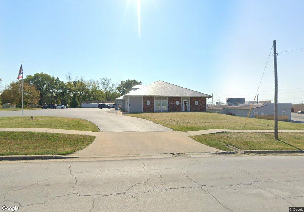
611 W Fort Scott St Butler, MO 64730
Estimated Value: $390,106
--
Bed
--
Bath
6,000
Sq Ft
$65/Sq Ft
Est. Value
About This Home
This home is located at 611 W Fort Scott St, Butler, MO 64730 and is currently priced at $390,106, approximately $65 per square foot. 611 W Fort Scott St is a home located in Bates County with nearby schools including Butler Elementary School and Butler High School.
Ownership History
Date
Name
Owned For
Owner Type
Purchase Details
Closed on
Sep 25, 2013
Sold by
S & S Properties Of Bates County Llc
Bought by
Six Eleven Llc
Current Estimated Value
Purchase Details
Closed on
Sep 26, 2005
Sold by
Ricker Scott and Ricker Karmin A
Bought by
S & S Properties Of Bates County Llc
Create a Home Valuation Report for This Property
The Home Valuation Report is an in-depth analysis detailing your home's value as well as a comparison with similar homes in the area
Home Values in the Area
Average Home Value in this Area
Purchase History
| Date | Buyer | Sale Price | Title Company |
|---|---|---|---|
| Six Eleven Llc | -- | Coffelt Land Title Inc | |
| S & S Properties Of Bates County Llc | -- | None Available |
Source: Public Records
Tax History Compared to Growth
Tax History
| Year | Tax Paid | Tax Assessment Tax Assessment Total Assessment is a certain percentage of the fair market value that is determined by local assessors to be the total taxable value of land and additions on the property. | Land | Improvement |
|---|---|---|---|---|
| 2024 | $7,141 | $107,710 | $0 | $0 |
| 2023 | $7,098 | $107,710 | $0 | $0 |
| 2022 | $6,497 | $96,830 | $0 | $0 |
| 2021 | $6,352 | $96,830 | $0 | $0 |
| 2020 | $6,352 | $96,830 | $0 | $0 |
| 2019 | $6,210 | $96,830 | $0 | $0 |
| 2018 | $6,203 | $96,830 | $0 | $0 |
| 2017 | $6,180 | $96,830 | $0 | $0 |
| 2016 | $6,176 | $96,380 | $0 | $0 |
| 2015 | -- | $96,380 | $0 | $0 |
| 2013 | -- | $301,200 | $0 | $0 |
Source: Public Records
Map
Nearby Homes
- 605 W Vine St
- 504 W Dakota St
- 101 N Maple St
- 804 W Dakota St
- 113 S Lonsinger St
- 312 W Pine St
- 313 W Harrison St
- 300 W Pine St
- 108 W Fort Scott St
- 209 N Havanah St
- 606 N Maple St
- 604 W Clark St
- 409 N Delaware St
- 218 S Mechanic St
- 800 Birch St
- 1103 W Mill St
- 301 S Mechanic St
- 217 S Mechanic St
- 804 N Gregory Blvd
- 309 N Lyon St
- 113 S Orange St
- 700 W Vine St
- 105 N Orange St
- 708 W Vine St
- 11 E Walnut St
- 607 W Fort Scott St
- 18 S Orange St
- 18 S Orange St
- 7 S Birch St
- 617 W Dakota St
- 709 W Vine St
- 201 S Birch St
- 615 W Dakota St
- 603 W Fort Scott St
- 11 S Orange St
- 1 E Walnut St
- 10 S High St
- 609 W Dakota St
- 613 W Dakota St
- 110 S High St