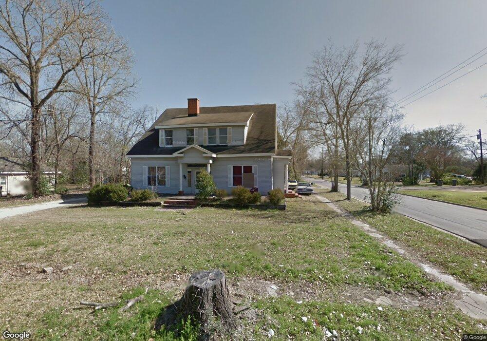
611 W Grove Ave Lufkin, TX 75904
Estimated Value: $93,000 - $298,000
--
Bed
11
Baths
5,486
Sq Ft
$34/Sq Ft
Est. Value
About This Home
This home is located at 611 W Grove Ave, Lufkin, TX 75904 and is currently estimated at $188,359, approximately $34 per square foot. 611 W Grove Ave is a home located in Angelina County with nearby schools including Trout Primary School, Brookhollow Elementary School, and Lufkin Middle School.
Ownership History
Date
Name
Owned For
Owner Type
Purchase Details
Closed on
Jun 1, 2012
Sold by
Harold Estes Family Partnership Ltd
Bought by
Venegas Raymundo
Current Estimated Value
Home Financials for this Owner
Home Financials are based on the most recent Mortgage that was taken out on this home.
Original Mortgage
$25,000
Interest Rate
3.59%
Mortgage Type
Unknown
Create a Home Valuation Report for This Property
The Home Valuation Report is an in-depth analysis detailing your home's value as well as a comparison with similar homes in the area
Home Values in the Area
Average Home Value in this Area
Purchase History
| Date | Buyer | Sale Price | Title Company |
|---|---|---|---|
| Venegas Raymundo | -- | None Available |
Source: Public Records
Mortgage History
| Date | Status | Borrower | Loan Amount |
|---|---|---|---|
| Previous Owner | Venegas Raymundo | $25,000 |
Source: Public Records
Tax History Compared to Growth
Tax History
| Year | Tax Paid | Tax Assessment Tax Assessment Total Assessment is a certain percentage of the fair market value that is determined by local assessors to be the total taxable value of land and additions on the property. | Land | Improvement |
|---|---|---|---|---|
| 2025 | $1,519 | $72,670 | $16,070 | $56,600 |
| 2024 | $1,610 | $77,030 | $16,070 | $60,960 |
| 2023 | $1,508 | $75,870 | $16,070 | $59,800 |
| 2022 | $1,531 | $67,230 | $11,060 | $56,170 |
| 2021 | $1,834 | $74,470 | $11,060 | $63,410 |
| 2020 | $1,643 | $66,850 | $11,060 | $55,790 |
| 2019 | $1,738 | $66,850 | $11,060 | $55,790 |
| 2018 | $1,459 | $64,690 | $11,060 | $53,630 |
| 2017 | $1,459 | $61,180 | $11,060 | $50,120 |
| 2016 | $3,523 | $147,780 | $11,060 | $136,720 |
| 2015 | -- | $39,100 | $11,060 | $28,040 |
| 2014 | -- | $54,850 | $11,060 | $43,790 |
Source: Public Records
Map
Nearby Homes
- 420 Mantooth Ave
- 620 Mantooth Ave
- 301 Culverhouse St
- 1007 Persimmon Ave
- 803 Moore Ave
- Tract 32 Walker Loop
- Lot 5 Shady Elm
- Lot 9 Shady Elm
- Lot 3 Shady Elm
- Lot 8 Shady Elm
- Lot 4 Shady Elm
- Lot 6 Shady Elm
- 505 N 1st St
- Lt 5.2 & 6 Treadwell Ave
- 521 N 1st St
- 801 Rowe Ave
- 1311 approx. Branch St
- 103 Pine Branch Ct
- 1305 W Grove Ave
- 122 Pine Branch Ct
- 611 West Grove
- 607 W Grove Ave
- 701 West Grove
- 419 N Bonner St
- 610 W Grove Ave
- 606 W Grove Ave
- 502 Mantooth Ave
- 410 Mantooth Ave
- 702 W Grove Ave
- 702 W Grove Ave
- 602 W Grove Ave
- 602 W Grove Ave
- 404 Mantooth Ave
- 414 N Bonner St
- 412 N Bonner St
- 410 N Bonner St
- 420 N Raguet St
- 518 Mantooth Ave
- 509 N Douglas St
- 415 Mantooth Ave