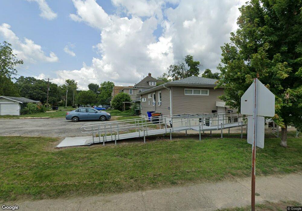
611 W Main St Decatur, IL 62522
Near West NeighborhoodEstimated Value: $72,000 - $121,000
--
Bed
4
Baths
1,554
Sq Ft
$62/Sq Ft
Est. Value
About This Home
This home is located at 611 W Main St, Decatur, IL 62522 and is currently estimated at $97,123, approximately $62 per square foot. 611 W Main St is a home located in Macon County with nearby schools including Dennis Lab School, St. Patrick School, and Teen Challenge-Home For Girls.
Ownership History
Date
Name
Owned For
Owner Type
Purchase Details
Closed on
Oct 6, 2005
Sold by
Krueger Steve K and Krueger Diane L
Bought by
Salzman Vernon C
Current Estimated Value
Home Financials for this Owner
Home Financials are based on the most recent Mortgage that was taken out on this home.
Original Mortgage
$57,600
Outstanding Balance
$30,966
Interest Rate
5.83%
Mortgage Type
Purchase Money Mortgage
Estimated Equity
$66,157
Purchase Details
Closed on
Aug 1, 2004
Create a Home Valuation Report for This Property
The Home Valuation Report is an in-depth analysis detailing your home's value as well as a comparison with similar homes in the area
Home Values in the Area
Average Home Value in this Area
Purchase History
| Date | Buyer | Sale Price | Title Company |
|---|---|---|---|
| Salzman Vernon C | $55,000 | None Available | |
| -- | $50,000 | -- |
Source: Public Records
Mortgage History
| Date | Status | Borrower | Loan Amount |
|---|---|---|---|
| Open | Salzman Vernon C | $57,600 |
Source: Public Records
Tax History Compared to Growth
Tax History
| Year | Tax Paid | Tax Assessment Tax Assessment Total Assessment is a certain percentage of the fair market value that is determined by local assessors to be the total taxable value of land and additions on the property. | Land | Improvement |
|---|---|---|---|---|
| 2024 | $2,152 | $22,232 | $2,207 | $20,025 |
| 2023 | $2,134 | $21,445 | $2,129 | $19,316 |
| 2022 | $1,927 | $18,838 | $1,870 | $16,968 |
| 2021 | $1,810 | $17,594 | $1,747 | $15,847 |
| 2020 | $1,784 | $16,777 | $1,666 | $15,111 |
| 2019 | $1,784 | $16,777 | $1,666 | $15,111 |
| 2018 | $1,769 | $16,833 | $1,672 | $15,161 |
| 2017 | $1,810 | $17,283 | $1,717 | $15,566 |
| 2016 | $1,845 | $17,460 | $1,735 | $15,725 |
| 2015 | $1,753 | $17,151 | $1,704 | $15,447 |
| 2014 | $1,628 | $16,981 | $1,687 | $15,294 |
| 2013 | $1,682 | $17,618 | $1,750 | $15,868 |
Source: Public Records
Map
Nearby Homes
- 657 W Wood St
- 717 W Prairie Ave Unit 2
- 612 W Macon St
- 609 W William St
- 254 N Pine St
- 450 W Macon St
- 452 W Prairie Ave
- 442 W Prairie Ave
- 899 W Main St
- 440 W Macon St
- 617 W Decatur St
- 233 N Edward St
- 441 S Seigel St
- 366 W Prairie Ave
- 422 W William St
- 320 W Main St
- 437 Powers Ln
- 628 W Forest Ave
- 281 W Prairie Ave
- 1005 W Main St