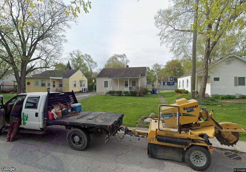
611 W Porter St Crown Point, IN 46307
Estimated Value: $209,907 - $253,000
3
Beds
1
Bath
1,080
Sq Ft
$210/Sq Ft
Est. Value
About This Home
This home is located at 611 W Porter St, Crown Point, IN 46307 and is currently estimated at $226,977, approximately $210 per square foot. 611 W Porter St is a home located in Lake County with nearby schools including Timothy Ball Elementary School, Robert Taft Middle School, and Crown Point High School.
Ownership History
Date
Name
Owned For
Owner Type
Purchase Details
Closed on
Jan 13, 2006
Sold by
Moore Louise and Worst Louise
Bought by
Worst Jim J and Worst Donna R
Current Estimated Value
Create a Home Valuation Report for This Property
The Home Valuation Report is an in-depth analysis detailing your home's value as well as a comparison with similar homes in the area
Home Values in the Area
Average Home Value in this Area
Purchase History
| Date | Buyer | Sale Price | Title Company |
|---|---|---|---|
| Worst Jim J | -- | Ticor Title |
Source: Public Records
Tax History Compared to Growth
Tax History
| Year | Tax Paid | Tax Assessment Tax Assessment Total Assessment is a certain percentage of the fair market value that is determined by local assessors to be the total taxable value of land and additions on the property. | Land | Improvement |
|---|---|---|---|---|
| 2024 | $3,504 | $139,600 | $27,700 | $111,900 |
| 2023 | $2,813 | $127,500 | $27,700 | $99,800 |
| 2022 | $2,683 | $121,700 | $27,700 | $94,000 |
| 2021 | $2,586 | $117,300 | $23,100 | $94,200 |
| 2020 | $2,610 | $118,100 | $23,100 | $95,000 |
| 2019 | $2,580 | $114,700 | $23,100 | $91,600 |
| 2018 | $2,881 | $111,300 | $23,100 | $88,200 |
| 2017 | $2,844 | $108,500 | $23,100 | $85,400 |
| 2016 | $2,791 | $104,600 | $23,100 | $81,500 |
| 2014 | $2,395 | $96,400 | $23,000 | $73,400 |
| 2013 | $2,386 | $94,900 | $23,100 | $71,800 |
Source: Public Records
Map
Nearby Homes
- 301 Hoffman St
- 621 Pratt St
- 512 W Joliet St
- 114 S Chase Dr
- 306 Holton Ridge
- 221 N West St
- 767 Kenmare Pkwy
- 771 Kenmare Pkwy
- 511 N West St
- 0 W Joliet St
- 312 Summit Park Ct S
- 1 Walnut Pkwy
- 808 N West St
- 290 S Chase Dr
- 7830 W 106th Ln
- 7770 W 106th Ln
- 3725 W 105th Ave
- 629 W South St
- 316 W South St
- 138 N Grant St
- 609 W Porter St
- 613 W Porter St
- 615 W Porter St
- 607 W Porter St
- 610 W Farragut St
- 612 W Farragut St
- 608 W Farragut St
- 617 W Porter St
- 605 W Porter St
- 614 W Farragut St
- 604 W Farragut St
- 619 W Porter St
- 603 W Porter St
- 616 W Farragut St
- 612 W Porter St
- 606 W Porter St
- 602 W Farragut St
- 614 W Porter St
- 610 W Porter St
- 608 W Porter St