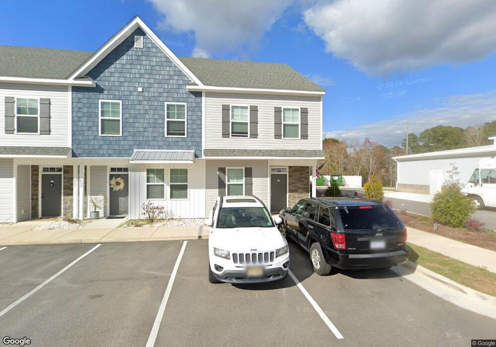
611 Windsurfing Ln Sneads Ferry, NC 28460
Estimated Value: $286,916 - $316,000
3
Beds
2
Baths
1,780
Sq Ft
$169/Sq Ft
Est. Value
About This Home
This home is located at 611 Windsurfing Ln, Sneads Ferry, NC 28460 and is currently estimated at $300,229, approximately $168 per square foot. 611 Windsurfing Ln is a home with nearby schools including Dixon Elementary School, Coastal Elementary, and Dixon High School.
Ownership History
Date
Name
Owned For
Owner Type
Purchase Details
Closed on
Dec 15, 2022
Sold by
Max Cap Financial Llc
Bought by
Tartaglione John Dominick and Tartaglione Suzanne Lee
Current Estimated Value
Home Financials for this Owner
Home Financials are based on the most recent Mortgage that was taken out on this home.
Original Mortgage
$137,000
Outstanding Balance
$132,551
Interest Rate
6.33%
Mortgage Type
New Conventional
Estimated Equity
$167,678
Purchase Details
Closed on
Dec 1, 2022
Sold by
Beachside Commons Llc
Bought by
Deep Sea 2021 Dst Trust and Max Cap Financial Llc
Home Financials for this Owner
Home Financials are based on the most recent Mortgage that was taken out on this home.
Original Mortgage
$137,000
Outstanding Balance
$132,551
Interest Rate
6.33%
Mortgage Type
New Conventional
Estimated Equity
$167,678
Create a Home Valuation Report for This Property
The Home Valuation Report is an in-depth analysis detailing your home's value as well as a comparison with similar homes in the area
Home Values in the Area
Average Home Value in this Area
Purchase History
| Date | Buyer | Sale Price | Title Company |
|---|---|---|---|
| Tartaglione John Dominick | $292,000 | None Listed On Document | |
| Deep Sea 2021 Dst Trust | -- | None Listed On Document |
Source: Public Records
Mortgage History
| Date | Status | Borrower | Loan Amount |
|---|---|---|---|
| Open | Tartaglione John Dominick | $137,000 |
Source: Public Records
Tax History Compared to Growth
Tax History
| Year | Tax Paid | Tax Assessment Tax Assessment Total Assessment is a certain percentage of the fair market value that is determined by local assessors to be the total taxable value of land and additions on the property. | Land | Improvement |
|---|---|---|---|---|
| 2025 | $1,535 | $234,342 | $34,000 | $200,342 |
| 2024 | $1,535 | $234,342 | $34,000 | $200,342 |
| 2023 | $1,535 | $234,342 | $34,000 | $200,342 |
| 2022 | $0 | $0 | $0 | $0 |
Source: Public Records
Map
Nearby Homes
- 326 Starfish Ln
- 214 Sandy Cove Ln
- 216 Sandy Cove Ln
- 208 Sandy Cove Ln
- 202 Sandy Cove Ln
- 226 Sandy Cove Ln
- 215 Sandy Cove Ln
- 217 Sandy Cove Ln
- 213 Sandy Cove Ln
- 219 Sandy Cove Ln
- 221 Sandy Cove Ln
- 227 Sandy Cove Ln
- 229 Sandy Cove Ln
- 231 Sandy Cove Ln
- 307 Pebble Shore Dr
- 104 Long Pond Dr
- 917 Old Folkstone Rd
- 306 Long Pond Dr
- 607 Coral Reef Ct
- 163 Old Millstone Landing Ln
- 605 Windsurfing Ln
- 264 Sandy Cove Ln
- 601 Windsurfing Ln
- 262 Sandy Cove Ln
- 260 Sandy Cove Ln
- 606 Windsurfing Ln
- 600 Windsurfing Ln
- 423 Sunfish Ln
- 431 Sunfish Ln
- 419 Sunfish Ln
- 415 Sunfish Ln
- 413 Sunfish Ln
- 411 Sunfish Ln
- 409 Sunfish Ln
- 324 Starfish Ln
- 334 Starfish Ln
- 314 Starfish Ln
- 318 Starfish Ln
- 405 Sunfish Ln
- 316 Starfish Ln