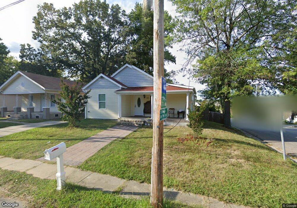
611 Wise Ave High Point, NC 27260
Downtown High Point NeighborhoodEstimated Value: $125,000 - $147,000
3
Beds
2
Baths
1,154
Sq Ft
$118/Sq Ft
Est. Value
About This Home
This home is located at 611 Wise Ave, High Point, NC 27260 and is currently estimated at $136,108, approximately $117 per square foot. 611 Wise Ave is a home located in Guilford County with nearby schools including Fairview Elementary School, Ferndale Middle School, and High Point Central High School.
Ownership History
Date
Name
Owned For
Owner Type
Purchase Details
Closed on
Dec 27, 2018
Sold by
Tapia Constantino Parra
Bought by
Zagoya Armando Flores and Abarca Enedina Leon
Current Estimated Value
Purchase Details
Closed on
Sep 26, 2017
Sold by
Boyles Roy W and Boyles Laura P
Bought by
Tapia Constantino Parra
Purchase Details
Closed on
Aug 23, 2017
Sold by
Mcintyre Norman L and Mcintyre Audria H
Bought by
Boyles Roy W and Boyles Laura P
Purchase Details
Closed on
Mar 21, 2001
Sold by
Boyles Roy W and Boyles Laura P
Bought by
Roy W & Laura P Boyles Revocable Trust
Create a Home Valuation Report for This Property
The Home Valuation Report is an in-depth analysis detailing your home's value as well as a comparison with similar homes in the area
Home Values in the Area
Average Home Value in this Area
Purchase History
| Date | Buyer | Sale Price | Title Company |
|---|---|---|---|
| Zagoya Armando Flores | $40,000 | None Available | |
| Tapia Constantino Parra | $9,000 | None Available | |
| Boyles Roy W | $1,000 | None Available | |
| Roy W & Laura P Boyles Revocable Trust | -- | -- |
Source: Public Records
Tax History Compared to Growth
Tax History
| Year | Tax Paid | Tax Assessment Tax Assessment Total Assessment is a certain percentage of the fair market value that is determined by local assessors to be the total taxable value of land and additions on the property. | Land | Improvement |
|---|---|---|---|---|
| 2025 | $841 | $61,000 | $10,000 | $51,000 |
| 2024 | $841 | $61,000 | $10,000 | $51,000 |
| 2023 | $841 | $61,000 | $10,000 | $51,000 |
| 2022 | $822 | $61,000 | $10,000 | $51,000 |
| 2021 | $661 | $48,000 | $6,000 | $42,000 |
| 2020 | $661 | $48,000 | $6,000 | $42,000 |
| 2019 | $661 | $26,000 | $0 | $0 |
| 2018 | $356 | $26,000 | $0 | $0 |
| 2017 | $356 | $26,000 | $0 | $0 |
| 2016 | $325 | $23,200 | $0 | $0 |
| 2015 | $327 | $23,200 | $0 | $0 |
| 2014 | $333 | $23,200 | $0 | $0 |
Source: Public Records
Map
Nearby Homes
- 909 Sharon St
- 702 Park St
- 507 Grimes Ave
- 1010 Grace St
- 1035 Asheboro St
- 915 Park St
- 423 Tate St
- 901 Richland St
- 809 E Green Dr
- 1208 Anderson Place
- 527 Smith St Unit A & B
- 518 Whiteoak St
- 517 Walnut St
- 523/525 Smith St
- 650 Wesley Dr
- 640 Wesley Dr
- 402 Walnut St
- 616 S Elm St
- 413 Cable St
- 1217 Cloverdale St