6110 Iw Strickland Rd Waycross, GA 31503
Estimated Value: $334,000 - $1,005,199
4
Beds
3
Baths
4,864
Sq Ft
$138/Sq Ft
Est. Value
About This Home
This home is located at 6110 Iw Strickland Rd, Waycross, GA 31503 and is currently estimated at $669,600, approximately $137 per square foot. 6110 Iw Strickland Rd is a home located in Ware County with nearby schools including Wacona Elementary School, Ware County Middle School, and Ware County High School.
Ownership History
Date
Name
Owned For
Owner Type
Purchase Details
Closed on
Jul 21, 2023
Sold by
Beach Holdings Llc
Bought by
Homeplace Hp Llc
Current Estimated Value
Purchase Details
Closed on
Apr 28, 2020
Sold by
Strickland I W
Bought by
Hill Pine Llc
Purchase Details
Closed on
Apr 10, 2018
Sold by
Beach Holdings Llc
Bought by
Strickland Gary S
Purchase Details
Closed on
Jun 22, 1994
Bought by
Strickland Irving W and Strickland Gary
Create a Home Valuation Report for This Property
The Home Valuation Report is an in-depth analysis detailing your home's value as well as a comparison with similar homes in the area
Home Values in the Area
Average Home Value in this Area
Purchase History
| Date | Buyer | Sale Price | Title Company |
|---|---|---|---|
| Homeplace Hp Llc | -- | -- | |
| Homeplace Hp Llc | -- | -- | |
| Beach Holdings Llc | -- | -- | |
| Hill Pine Llc | -- | -- | |
| Strickland Gary S | -- | -- | |
| Strickland Irving W | -- | -- |
Source: Public Records
Tax History Compared to Growth
Tax History
| Year | Tax Paid | Tax Assessment Tax Assessment Total Assessment is a certain percentage of the fair market value that is determined by local assessors to be the total taxable value of land and additions on the property. | Land | Improvement |
|---|---|---|---|---|
| 2024 | $9,552 | $410,000 | $220,250 | $189,750 |
| 2023 | $6,537 | $359,578 | $241,302 | $118,276 |
| 2022 | $6,452 | $359,578 | $241,302 | $118,276 |
| 2021 | $5,988 | $288,890 | $199,866 | $89,024 |
| 2020 | $5,851 | $285,234 | $199,866 | $85,368 |
| 2019 | $5,689 | $279,383 | $199,866 | $79,517 |
| 2018 | $5,574 | $276,892 | $199,866 | $77,026 |
| 2017 | $5,406 | $276,892 | $199,866 | $77,026 |
| 2013 | -- | $0 | $0 | $0 |
Source: Public Records
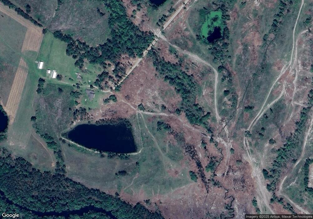
Map
Nearby Homes
- 26 Acres Telmore-Dixie Union Rd
- S S River Rd
- 4263 N River Rd
- 4095 Otis Ln
- 4545 Oak View Cir
- 4535 Oak View Cir
- 4525 Oak View Rd
- 3940 Cleve Rd
- 4606 Dukes Rd
- 4818 Lovett Rd
- Tbd Albany Hwy
- Tbd Duncan Bridge Rd
- 4600 Alma Hwy
- 4717 Smith Ln
- Lot 2 Smith Ln
- 4517 Cameron Ln
- 4427 Pine Valley Rd
- 5790 Wooddell Dr
- 5625 Wooddell Dr
- 6860 Douglas Hwy
- 6110 Iw Strickland Rd
- 0 Telmore-Dixie Union Rd
- 5114 Telmore Dixie Union Rd
- 5303 Telmore Dixie Union Rd
- 5763 River Oaks Rd
- 5346 Telmore Dixie Union Rd
- 5018 Telmore Dixie Union Rd
- 5018 Telmore Dixie Union Rd
- 5056 Telmore Dixie Union Rd
- 6135 Gilliard Rd
- 4995 Telmore Dixie Union Rd
- 5749 Oakwood Cir
- 4976 Telmore Dixie Union Rd
- 6388 Robert Gibbs Ln
- 5560 Oakwood Cir
- 5733 Oakwood Cir
- 5707 Oakwood Cir
- 0 Buck Horn Trail
- 5740 Buck Horn Trail
- 5551 Oakwood Cir