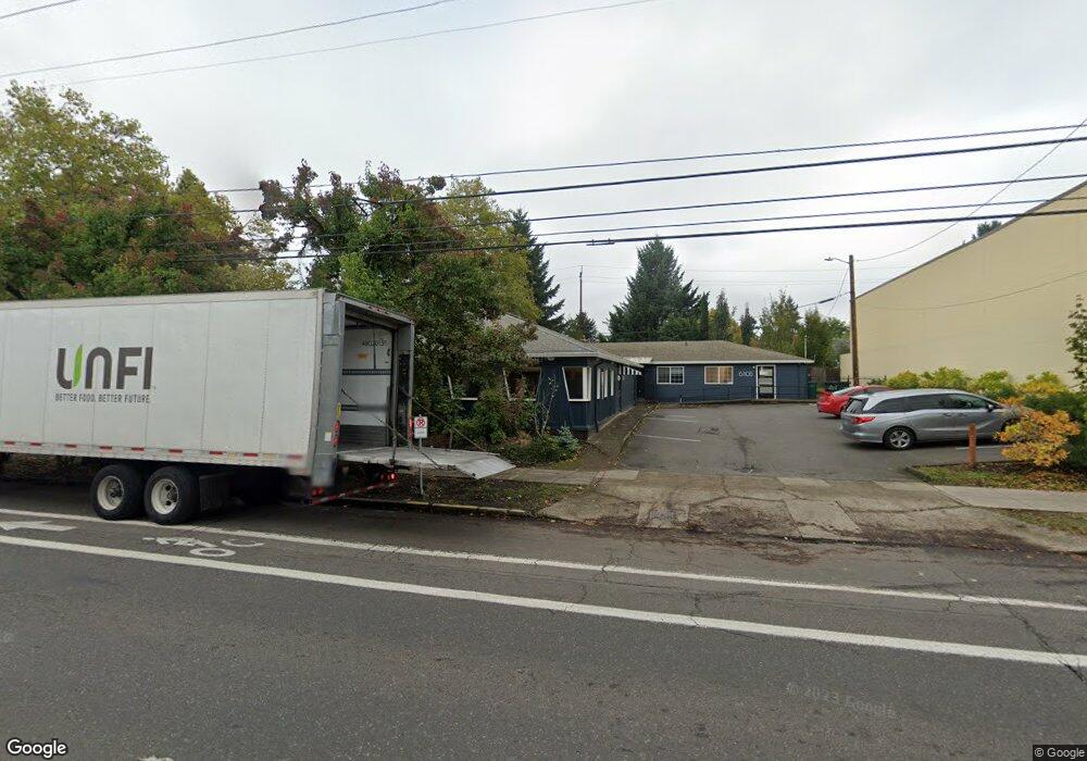
6110 N Lombard St Unit B Portland, OR 97203
University Park NeighborhoodEstimated Value: $1,780,450
--
Bed
--
Bath
2,500
Sq Ft
$712/Sq Ft
Est. Value
About This Home
This home is located at 6110 N Lombard St Unit B, Portland, OR 97203 and is currently priced at $1,780,450, approximately $712 per square foot. 6110 N Lombard St Unit B is a home located in Multnomah County with nearby schools including Astor Elementary School, Roosevelt High School, and Holy Cross Catholic School.
Ownership History
Date
Name
Owned For
Owner Type
Purchase Details
Closed on
Jan 23, 2001
Sold by
Crystal Construction Inc
Bought by
Hodges Patricia
Current Estimated Value
Purchase Details
Closed on
Dec 15, 1999
Sold by
Php Partnership
Bought by
Hodges Patricia J
Home Financials for this Owner
Home Financials are based on the most recent Mortgage that was taken out on this home.
Original Mortgage
$256,500
Interest Rate
7.83%
Mortgage Type
Commercial
Create a Home Valuation Report for This Property
The Home Valuation Report is an in-depth analysis detailing your home's value as well as a comparison with similar homes in the area
Home Values in the Area
Average Home Value in this Area
Purchase History
| Date | Buyer | Sale Price | Title Company |
|---|---|---|---|
| Hodges Patricia | -- | -- | |
| Hodges Patricia | -- | -- | |
| Hodges Patricia J | $335,000 | Transnation Title Insurance |
Source: Public Records
Mortgage History
| Date | Status | Borrower | Loan Amount |
|---|---|---|---|
| Previous Owner | Hodges Patricia J | $256,500 |
Source: Public Records
Tax History Compared to Growth
Tax History
| Year | Tax Paid | Tax Assessment Tax Assessment Total Assessment is a certain percentage of the fair market value that is determined by local assessors to be the total taxable value of land and additions on the property. | Land | Improvement |
|---|---|---|---|---|
| 2024 | $15,628 | $584,100 | -- | -- |
| 2023 | $15,027 | $567,090 | $0 | $0 |
| 2022 | $14,702 | $550,580 | $0 | $0 |
| 2021 | $14,453 | $534,550 | $0 | $0 |
| 2020 | $13,259 | $518,990 | $0 | $0 |
| 2019 | $12,771 | $503,880 | $0 | $0 |
| 2018 | $12,396 | $489,210 | $0 | $0 |
| 2017 | $11,880 | $474,970 | $0 | $0 |
| 2016 | $10,873 | $461,140 | $0 | $0 |
| 2015 | $9,925 | $447,710 | $0 | $0 |
Source: Public Records
Map
Nearby Homes
- 7335 N Wall Ave
- 7651 N Westanna Ave
- 7675 N Westanna Ave
- 7803 N Berkeley Ave
- 8927 N Wall Ave
- 5717 N Syracuse St
- 5721 N Willis Blvd Unit C
- 5721 N Willis Blvd Unit B
- 8929 N Mckenna Ave
- 7140 N MacRum Ave
- 8959 N Mckenna Ave
- 6193 N Amherst St
- 6023 N Amherst St
- 6514 N Princeton St
- 9117 N Westanna Ct
- 5416 N Depauw St
- 5425 N Syracuse St
- 7557 N Gilbert Ave
- 7532 N Heppner Ave
- 7521 N Gloucester Ave
- 6110 N Lombard St
- 7469 N Wall Ave
- 6203 N Bowdoin St
- 6211 N Bowdoin St
- 7463 N Wall Ave
- 6221 N Bowdoin St
- 6111 N Bowdoin St
- 6231 N Bowdoin St
- 6123 N Lombard St Unit 6129
- 6243 N Bowdoin St
- 7511 N Wall Ave
- 6311 N Bowdoin St
- 6030 N Lombard St
- 6221 N Lombard St
- 6202 N Bowdoin St
- 6210 N Bowdoin St
- 7439 N Wall Ave
- 6025 N Bowdoin St
- 6222 N Bowdoin St
- 6321 N Bowdoin St