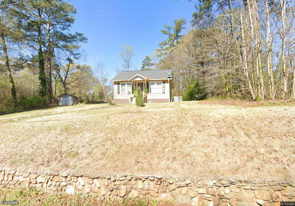
6110 S Gordon Rd Austell, GA 30168
Estimated Value: $159,000 - $184,000
2
Beds
1
Bath
832
Sq Ft
$206/Sq Ft
Est. Value
About This Home
This home is located at 6110 S Gordon Rd, Austell, GA 30168 and is currently estimated at $171,797, approximately $206 per square foot. 6110 S Gordon Rd is a home located in Cobb County with nearby schools including Mableton Elementary School, Garrett Middle School, and South Cobb High School.
Ownership History
Date
Name
Owned For
Owner Type
Purchase Details
Closed on
Nov 5, 2010
Sold by
Rednic George
Bought by
Rednic Remus
Current Estimated Value
Purchase Details
Closed on
Sep 7, 2010
Sold by
Caal Efrain F
Bought by
Us Bank Na Series 2007-Ar1
Purchase Details
Closed on
Sep 18, 2006
Sold by
Young Leroy
Bought by
Caal Efrain F
Home Financials for this Owner
Home Financials are based on the most recent Mortgage that was taken out on this home.
Original Mortgage
$93,100
Interest Rate
7.25%
Mortgage Type
New Conventional
Create a Home Valuation Report for This Property
The Home Valuation Report is an in-depth analysis detailing your home's value as well as a comparison with similar homes in the area
Home Values in the Area
Average Home Value in this Area
Purchase History
| Date | Buyer | Sale Price | Title Company |
|---|---|---|---|
| Rednic Remus | -- | -- | |
| Rednic George | $15,800 | -- | |
| Us Bank Na Series 2007-Ar1 | $28,000 | -- | |
| Caal Efrain F | $98,000 | -- |
Source: Public Records
Mortgage History
| Date | Status | Borrower | Loan Amount |
|---|---|---|---|
| Previous Owner | Caal Efrain F | $93,100 |
Source: Public Records
Tax History
| Year | Tax Paid | Tax Assessment Tax Assessment Total Assessment is a certain percentage of the fair market value that is determined by local assessors to be the total taxable value of land and additions on the property. | Land | Improvement |
|---|---|---|---|---|
| 2025 | $1,945 | $64,540 | $38,000 | $26,540 |
| 2024 | $1,946 | $64,540 | $38,000 | $26,540 |
| 2023 | $1,806 | $59,884 | $38,000 | $21,884 |
Source: Public Records
Map
Nearby Homes
- 6182 Grove Crest Way Unit 3
- 6083 Oak Hill Dr
- 1794 Blossom Ln
- 2042 Linda Dr SW
- 1920 Silver Creek Dr Unit 4
- 1984 Brenda Dr
- 1972 Cox Dr Unit 5
- 1995 Oak Ct
- 2115 Venesa Cir
- 1140 Elowen Dr Unit 108
- 1045 Elowen Dr
- 1130 Elowen Dr Unit 107
- 1155 Elowen Dr
- 5804 S Gordon Rd
- 1628 Pendley Dr
- 1551 Old Alabama Rd
- 1591 Pendley Dr
- 1961 Abbey Province
- 1151 S Gordon Rd
- 1531 Withmoor Terrace
- 6100 S Gordon Rd
- 6090 S Gordon Rd
- 6121 S Gordon Rd
- 1900 Old Alabama Rd
- 6124 S Gordon Rd
- 6101 Pine Terrace Dr
- 6021 S Gordon Rd
- 6089 Pine Terrace Dr
- 6135 S Gordon Rd SW
- 6135 S Gordon Rd Unit 27
- 6135 S Gordon Rd
- 6075 Pine Terrace Dr
- 6111 Pine Terrace Dr
- 1956 Old Alabama Rd SW
- 1956 Old Alabama Rd
- 6119 Pine Terrace Dr
- 6063 Pine Terrace Dr
- 6078 S Gordon Rd
- 1884 Old Alabama Rd
- 6051 Pine Terrace Dr
Your Personal Tour Guide
Ask me questions while you tour the home.