6111 Austin Rd Camden, MI 49232
Estimated Value: $346,000 - $453,000
--
Bed
--
Bath
816
Sq Ft
$511/Sq Ft
Est. Value
About This Home
This home is located at 6111 Austin Rd, Camden, MI 49232 and is currently estimated at $417,005, approximately $511 per square foot. 6111 Austin Rd is a home with nearby schools including Camden-Frontier K-8 School and Camden-Frontier High School.
Ownership History
Date
Name
Owned For
Owner Type
Purchase Details
Closed on
Jan 25, 2020
Sold by
Wilson Barbara A and Wilson Carol J
Bought by
Eicher Mose S and Eicher Cathy V
Current Estimated Value
Purchase Details
Closed on
Jul 29, 2019
Sold by
Wilson David J and Jordan Karen
Bought by
Wilson Barbara A and Wilson Carol J
Purchase Details
Closed on
Mar 31, 2015
Sold by
Wilson Dean H
Bought by
Wilson Family & Marital Revocable Living
Purchase Details
Closed on
Jun 1, 1987
Sold by
Wilson Dean H and Wilson Jane R
Bought by
Wilson Dean H and Wilson Jane R
Create a Home Valuation Report for This Property
The Home Valuation Report is an in-depth analysis detailing your home's value as well as a comparison with similar homes in the area
Home Values in the Area
Average Home Value in this Area
Purchase History
| Date | Buyer | Sale Price | Title Company |
|---|---|---|---|
| Eicher Mose S | $388,000 | None Available | |
| Wilson Barbara A | -- | None Available | |
| Wilson Family & Marital Revocable Living | -- | Attorney | |
| Wilson Dean H | -- | -- |
Source: Public Records
Mortgage History
| Date | Status | Borrower | Loan Amount |
|---|---|---|---|
| Closed | Eicher Mose S | $0 |
Source: Public Records
Tax History Compared to Growth
Tax History
| Year | Tax Paid | Tax Assessment Tax Assessment Total Assessment is a certain percentage of the fair market value that is determined by local assessors to be the total taxable value of land and additions on the property. | Land | Improvement |
|---|---|---|---|---|
| 2025 | $2,061 | $234,500 | $0 | $0 |
| 2024 | $939 | $207,100 | $0 | $0 |
| 2023 | $895 | $164,500 | $0 | $0 |
| 2022 | $1,717 | $153,300 | $0 | $0 |
| 2021 | $1,664 | $153,500 | $0 | $0 |
| 2020 | $1,050 | $130,300 | $0 | $0 |
| 2019 | $1,124 | $126,800 | $0 | $0 |
| 2018 | $1,073 | $123,600 | $0 | $0 |
| 2017 | $1,043 | $122,050 | $0 | $0 |
| 2016 | $1,032 | $105,360 | $0 | $0 |
| 2015 | $427 | $105,360 | $0 | $0 |
| 2013 | $414 | $97,220 | $0 | $0 |
| 2012 | $404 | $91,370 | $0 | $0 |
Source: Public Records
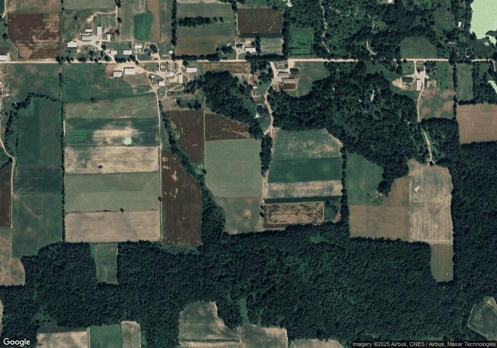
Map
Nearby Homes
- 107 Mary St
- 0 W Territorial Rd Unit 25043960
- 0 W Territorial Rd Unit 11603977
- 6524 W Montgomery Rd
- 9677 W Camden Rd
- 14934 Heather Ct
- 14364 Horn Dr
- 18405 County Road 2-50
- 0 Dimmers Rd
- 115 N Michigan St
- 219 N Hayward St
- 13551 Hillsdale Rd
- 7944 Gilmore Rd
- 623-624 Yuma Trail
- 0 V L Dimmers Rd
- 5411 Lilac Rd
- 9791 S Hillsdale Rd
- 600 Seneca Dr
- 988-989 Seneca Dr
- 7950 E 400 N
- 6315 Austin Rd
- 5820 Austin Rd
- 6320 Austin Rd
- 6160 Austin Rd
- 5771 Austin Rd
- 6420 Austin Rd
- 5725 Austin Rd
- 5660 Austin Rd
- 5551 Austin Rd
- 6751 Austin Rd
- 6760 Austin Rd
- 5451 Austin Rd
- 5660 Sampson Rd
- 6950 Austin Rd
- 5320 Austin Rd
- 6971 Austin Rd
- 6180 Sampson Rd
- 5040 Austin Rd
- 5900 Sampson Rd
- 6360 Sampson Rd