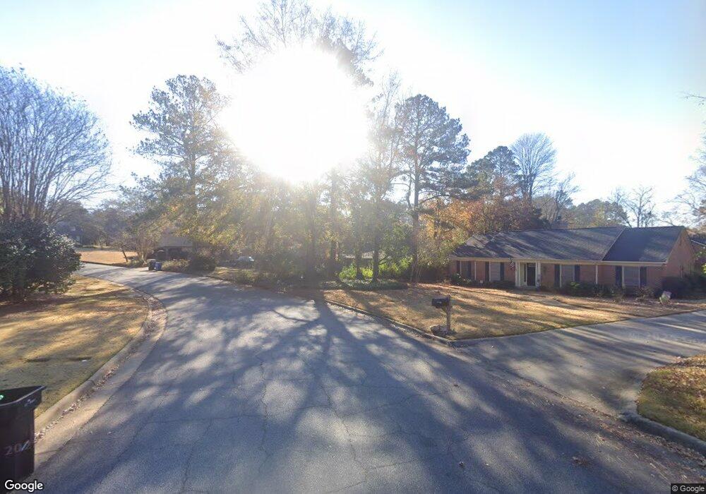
6111 Cape Cod Ct Columbus, GA 31904
North Columbus NeighborhoodEstimated Value: $402,367 - $441,000
4
Beds
3
Baths
3,186
Sq Ft
$132/Sq Ft
Est. Value
About This Home
This home is located at 6111 Cape Cod Ct, Columbus, GA 31904 and is currently estimated at $420,342, approximately $131 per square foot. 6111 Cape Cod Ct is a home located in Muscogee County with nearby schools including River Road Elementary School, Double Churches Middle School, and Northside High School.
Ownership History
Date
Name
Owned For
Owner Type
Purchase Details
Closed on
Feb 15, 2007
Sold by
Green Deborah Peabody
Bought by
Womack Anthony N and Womack Christina L
Current Estimated Value
Home Financials for this Owner
Home Financials are based on the most recent Mortgage that was taken out on this home.
Original Mortgage
$244,000
Interest Rate
6.17%
Mortgage Type
Purchase Money Mortgage
Create a Home Valuation Report for This Property
The Home Valuation Report is an in-depth analysis detailing your home's value as well as a comparison with similar homes in the area
Home Values in the Area
Average Home Value in this Area
Purchase History
| Date | Buyer | Sale Price | Title Company |
|---|---|---|---|
| Womack Anthony N | $305,000 | None Available |
Source: Public Records
Mortgage History
| Date | Status | Borrower | Loan Amount |
|---|---|---|---|
| Closed | Womack Anthony N | $244,000 |
Source: Public Records
Tax History
| Year | Tax Paid | Tax Assessment Tax Assessment Total Assessment is a certain percentage of the fair market value that is determined by local assessors to be the total taxable value of land and additions on the property. | Land | Improvement |
|---|---|---|---|---|
| 2025 | $4,256 | $149,464 | $25,140 | $124,324 |
| 2024 | $4,254 | $149,464 | $25,140 | $124,324 |
| 2023 | $3,587 | $149,464 | $25,140 | $124,324 |
| 2022 | $4,437 | $118,920 | $25,140 | $93,780 |
| 2021 | $4,430 | $118,228 | $25,140 | $93,088 |
| 2020 | $4,432 | $118,228 | $25,140 | $93,088 |
| 2019 | $4,447 | $118,228 | $25,140 | $93,088 |
| 2018 | $4,447 | $118,228 | $25,140 | $93,088 |
| 2017 | $4,463 | $118,228 | $25,140 | $93,088 |
| 2016 | $4,481 | $121,896 | $10,774 | $111,122 |
| 2015 | $4,487 | $121,896 | $10,774 | $111,122 |
| 2014 | $4,493 | $121,896 | $10,774 | $111,122 |
| 2013 | -- | $121,896 | $10,774 | $111,122 |
Source: Public Records
Map
Nearby Homes
- 6333 Cape Cod Dr
- 6390 Cape Cod Dr
- 6101 River Rd Unit 13
- 6101 River Rd Unit 2
- 6101 River Rd Unit 5
- 16 Kylemore Ct
- 6400 Green Island Dr Unit 42
- 6400 Green Island Dr Unit 2
- 6686 Glenmore Way
- 831 53rd St
- 5602 Morris Ave
- 222 Cascade Rd
- 254 Cascade Rd
- 7281 Mobley Walk Dr
- 5431 Roaring Branch Rd
- 5333 Morris Ave
- 258 Cascade Rd
- 306 Cascade Rd
- 1021 53rd St
- 1037 53rd St
- 6101 Cape Cod Ct
- 6119 Cape Cod Ct
- 747 Rudgate Rd
- 737 Rudgate Rd
- 727 Rudgate Rd
- 757 Rudgate Rd
- 6116 Cape Cod Ct
- 715 Rudgate Rd
- 6101 Bristol Blvd
- 6129 Cape Cod Ct
- 6034 Bristol Blvd
- 6144 Cape Cod Ct
- 6111 Bristol Blvd
- 6137 Cape Cod Ct
- 705 Rudgate Rd
- 805 Rudgate Rd
- 746 Rudgate Rd
- 6100 Bristol Blvd
- 756 Rudgate Rd
- 6020 Brookstone Blvd
Your Personal Tour Guide
Ask me questions while you tour the home.