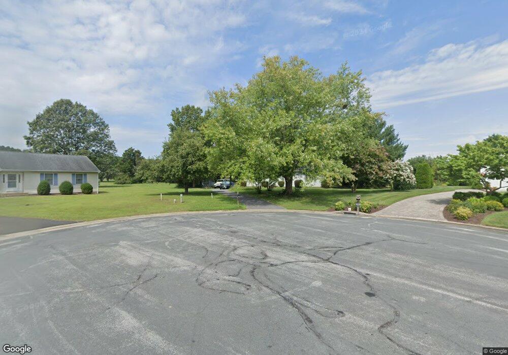
6111 Foxtail Ct Salisbury, MD 21801
South Salisbury NeighborhoodEstimated Value: $262,606 - $275,000
--
Bed
2
Baths
1,196
Sq Ft
$226/Sq Ft
Est. Value
About This Home
This home is located at 6111 Foxtail Ct, Salisbury, MD 21801 and is currently estimated at $270,152, approximately $225 per square foot. 6111 Foxtail Ct is a home located in Wicomico County with nearby schools including Westside Primary School, Westside Intermediate School, and Salisbury Middle School.
Ownership History
Date
Name
Owned For
Owner Type
Purchase Details
Closed on
Aug 31, 2001
Sold by
Gincher Lesif M and Gincher Ritta A
Bought by
Brosius Michelle A
Current Estimated Value
Purchase Details
Closed on
Jan 22, 1996
Sold by
Karpavage Felix and Karpavage Deana M
Bought by
Gincher Lesif M and Gincher Ritta A
Purchase Details
Closed on
Dec 15, 1989
Sold by
Davis John A
Bought by
Karpavage Felix and Karpavage Deana M
Create a Home Valuation Report for This Property
The Home Valuation Report is an in-depth analysis detailing your home's value as well as a comparison with similar homes in the area
Home Values in the Area
Average Home Value in this Area
Purchase History
| Date | Buyer | Sale Price | Title Company |
|---|---|---|---|
| Brosius Michelle A | $96,000 | -- | |
| Gincher Lesif M | $76,000 | -- | |
| Karpavage Felix | $69,000 | -- |
Source: Public Records
Mortgage History
| Date | Status | Borrower | Loan Amount |
|---|---|---|---|
| Closed | Gincher Lesif M | -- |
Source: Public Records
Tax History Compared to Growth
Tax History
| Year | Tax Paid | Tax Assessment Tax Assessment Total Assessment is a certain percentage of the fair market value that is determined by local assessors to be the total taxable value of land and additions on the property. | Land | Improvement |
|---|---|---|---|---|
| 2025 | $1,605 | $176,767 | $0 | $0 |
| 2024 | $1,605 | $161,133 | $0 | $0 |
| 2023 | $1,498 | $145,500 | $39,300 | $106,200 |
| 2022 | $1,522 | $143,500 | $0 | $0 |
| 2021 | $1,499 | $141,500 | $0 | $0 |
| 2020 | $1,499 | $139,500 | $35,300 | $104,200 |
| 2019 | $1,451 | $132,867 | $0 | $0 |
| 2018 | $1,388 | $126,233 | $0 | $0 |
| 2017 | $1,318 | $119,600 | $0 | $0 |
| 2016 | -- | $118,567 | $0 | $0 |
| 2015 | $1,272 | $117,533 | $0 | $0 |
| 2014 | $1,272 | $116,500 | $0 | $0 |
Source: Public Records
Map
Nearby Homes
- 6151 Trails End Ct
- 26924 Black Horse Run
- 6177 Ayrshire Dr
- 6229 Ayrshire Dr
- 26882 Pratt Rd
- 5991 Hounds Bay Cir
- 6209 Rockawalkin Rd
- 6058 Gloucester Ct
- 5709 Royal Mile Blvd
- 5688 Kirkpatrick Ct
- 5973 Smithys Ln
- 26694 Pemberton Dr
- 0 King Stuart Dr Unit MDWC2018516
- 27124 Patriot Dr
- 5686 N Nithsdale Dr Unit N
- 5474 Royal Mile Blvd
- 5461 Loch Ness Terrace
- LOT 19 Brandywood Ln
- 5541 E Nithsdale Dr
- Lot #8 Arrowwood Ct
- 6108 Foxtail Ct
- 6107 Foxtail Ct
- 6104 Foxtail Ct
- 6103 Foxtail Ct
- 6125 Ayrshire Dr
- 26879 Black Horse Pk Run
- 6129 Ayrshire Dr
- 6111 Ayrshire Dr
- 6096 Foxtail Ct
- 6099 Foxtail Ct
- 6071 Hunters Mill Dr
- 6061 Hunters Mill Dr
- 26879 Black Horse Run
- 6075 Hunters Mill Dr
- 6120 Ayrshire Dr
- 6105 Ayrshire Dr
- 6140 Trails End Ct
- 6093 Foxtail Ct
- 6057 Hunters Mill Dr
- 6114 Ayrshire Dr