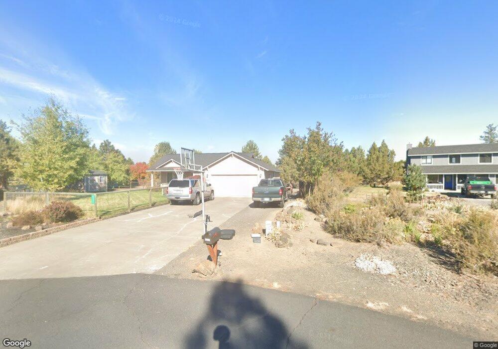
61111 Heath Ct Bend, OR 97702
Old Farm District NeighborhoodEstimated Value: $551,000 - $619,785
3
Beds
2
Baths
1,302
Sq Ft
$455/Sq Ft
Est. Value
About This Home
This home is located at 61111 Heath Ct, Bend, OR 97702 and is currently estimated at $592,446, approximately $455 per square foot. 61111 Heath Ct is a home located in Deschutes County with nearby schools including Silver Rail Elementary School, High Desert Middle School, and Bend Senior High School.
Ownership History
Date
Name
Owned For
Owner Type
Purchase Details
Closed on
Jan 24, 2005
Sold by
Dowell Gary O
Bought by
Dowell Gary O and Dowell Ginger A
Current Estimated Value
Home Financials for this Owner
Home Financials are based on the most recent Mortgage that was taken out on this home.
Original Mortgage
$143,100
Interest Rate
5.37%
Mortgage Type
New Conventional
Create a Home Valuation Report for This Property
The Home Valuation Report is an in-depth analysis detailing your home's value as well as a comparison with similar homes in the area
Home Values in the Area
Average Home Value in this Area
Purchase History
| Date | Buyer | Sale Price | Title Company |
|---|---|---|---|
| Dowell Gary O | -- | Western Title & Escrow Co |
Source: Public Records
Mortgage History
| Date | Status | Borrower | Loan Amount |
|---|---|---|---|
| Closed | Dowell Gary O | $143,100 |
Source: Public Records
Tax History Compared to Growth
Tax History
| Year | Tax Paid | Tax Assessment Tax Assessment Total Assessment is a certain percentage of the fair market value that is determined by local assessors to be the total taxable value of land and additions on the property. | Land | Improvement |
|---|---|---|---|---|
| 2025 | $3,551 | $210,180 | -- | -- |
| 2024 | $3,417 | $204,060 | -- | -- |
| 2023 | $3,167 | $198,120 | $0 | $0 |
| 2022 | $2,955 | $186,750 | $0 | $0 |
| 2021 | $2,960 | $181,320 | $0 | $0 |
| 2020 | $2,808 | $181,320 | $0 | $0 |
| 2019 | $2,730 | $176,040 | $0 | $0 |
| 2018 | $2,653 | $170,920 | $0 | $0 |
| 2017 | $2,575 | $165,950 | $0 | $0 |
| 2016 | $2,456 | $161,120 | $0 | $0 |
| 2015 | $2,388 | $156,430 | $0 | $0 |
| 2014 | $2,317 | $151,880 | $0 | $0 |
Source: Public Records
Map
Nearby Homes
- 61197 Cottonwood Dr
- 20984 Via Sierra
- 61159 Ladera Rd
- 61160 Hilmer Creek Dr
- 61245 Crescent Ct
- 61097 Ferguson Ct
- 20921 Sage Creek Dr
- 20868 Tamar Ln
- 61076 Manhae Loop
- 61100 SE Stari Most Loop
- 61336 Mount Vista Dr
- 61405 Steens Mountain Loop
- 20864 SE Sunniberg Ln
- 61132 SE Ambassador Dr
- 20870 SE Delta Dr
- 20878 SE Delta Dr
- 20882 SE Delta Dr
- 20874 SE Delta Dr
- 20883 SE Delta Dr
- 20879 SE Delta Dr
- 61114 Cabin Ln
- 61103 Heath Ct
- 61112 Heath Ct
- 61124 Cabin Ln
- 21053 Via Sandia
- 61104 Cabin Ln
- 61104 Heath Ct
- 21057 Via Sandia
- 21067 Via Sandia
- 61125 Magnolia Ln
- 61115 Magnolia Ln
- 21192 Hearthstone Ln
- 21045 Via Sandia
- 61135 Magnolia Ln
- 21052 Via Sandia
- 61107 Cabin Ln
- 21081 Via Sandia
- 61151 Cottonwood Dr
- 61130 Cabin Ct
- 21032 Via Sandia