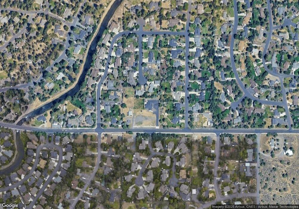
61112 Ferguson Rd Bend, OR 97702
Old Farm District NeighborhoodEstimated Value: $1,048,000 - $1,583,406
--
Bed
--
Bath
3,711
Sq Ft
$346/Sq Ft
Est. Value
About This Home
This home is located at 61112 Ferguson Rd, Bend, OR 97702 and is currently estimated at $1,282,852, approximately $345 per square foot. 61112 Ferguson Rd is a home with nearby schools including Silver Rail Elementary School, High Desert Middle School, and Bend Senior High School.
Ownership History
Date
Name
Owned For
Owner Type
Purchase Details
Closed on
Jul 10, 2020
Sold by
Blunt Joseph Warner and Blunt Trust
Bought by
Ratcliff Sean W and Ratcliff Sarah
Current Estimated Value
Home Financials for this Owner
Home Financials are based on the most recent Mortgage that was taken out on this home.
Original Mortgage
$256,000
Interest Rate
2.8%
Mortgage Type
Commercial
Purchase Details
Closed on
Jun 16, 2008
Sold by
Blunt John C and Blunt Jennifer S
Bought by
Blunt Joseph Warner and Blunt Trust Agreement
Create a Home Valuation Report for This Property
The Home Valuation Report is an in-depth analysis detailing your home's value as well as a comparison with similar homes in the area
Home Values in the Area
Average Home Value in this Area
Purchase History
| Date | Buyer | Sale Price | Title Company |
|---|---|---|---|
| Ratcliff Sean W | $320,000 | First American Title | |
| Blunt Joseph Warner | -- | None Available |
Source: Public Records
Mortgage History
| Date | Status | Borrower | Loan Amount |
|---|---|---|---|
| Previous Owner | Ratcliff Sean W | $256,000 |
Source: Public Records
Tax History Compared to Growth
Tax History
| Year | Tax Paid | Tax Assessment Tax Assessment Total Assessment is a certain percentage of the fair market value that is determined by local assessors to be the total taxable value of land and additions on the property. | Land | Improvement |
|---|---|---|---|---|
| 2025 | $7,350 | $434,985 | -- | -- |
| 2024 | $7,584 | $452,970 | -- | -- |
| 2023 | $7,031 | $439,780 | $0 | $0 |
| 2022 | $1,561 | $98,660 | $0 | $0 |
| 2021 | $1,564 | $95,790 | $0 | $0 |
| 2020 | $1,483 | $95,790 | $0 | $0 |
| 2019 | $1,442 | $93,000 | $0 | $0 |
| 2018 | $1,401 | $90,300 | $0 | $0 |
| 2017 | $1,360 | $87,670 | $0 | $0 |
| 2016 | $1,297 | $85,120 | $0 | $0 |
| 2015 | $1,261 | $82,650 | $0 | $0 |
| 2014 | $1,224 | $80,250 | $0 | $0 |
Source: Public Records
Map
Nearby Homes
- 61245 Crescent Ct
- 61197 Cottonwood Dr
- 61159 Ladera Rd
- 61160 Hilmer Creek Dr
- 20921 Sage Creek Dr
- 20984 Via Sierra
- 61097 Ferguson Ct
- 20868 Tamar Ln
- 61336 Mount Vista Dr
- 20886 King David Ave
- 61405 Steens Mountain Loop
- 21062 Desert Woods Dr
- 61076 Manhae Loop
- 61250 15th St
- 61100 SE Stari Most Loop
- 20864 SE Sunniberg Ln
- 20873 Greenmont Dr
- 61376 Robin Hood Ln
- 61132 SE Ambassador Dr
- 20870 SE Delta Dr
- 61240 Crescent Ct
- 61225 Sarah Dr
- 61235 Sarah Dr
- 61235 Crescent Ct
- 61215 Sarah Dr
- 0 Ferguson Rd
- 61130 Ferguson Rd
- 62140 SE Crescent Ct
- 61245 Sarah Dr
- 61250 Crescent Ct
- 44 Ferguson Rd
- 21 Ferguson Rd
- 37 Ferguson Rd
- 2 Ferguson Rd
- 1 Ferguson Rd
- 11 Ferguson Rd
- 30 Ferguson Rd
- 45 Ferguson Rd
- 43 Ferguson Rd
- 38 Ferguson Rd
