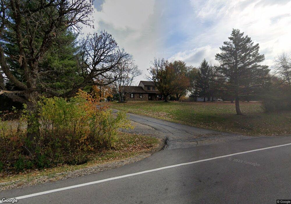
6112 Haligus Rd Woodstock, IL 60098
Estimated Value: $459,000 - $656,000
4
Beds
3
Baths
3,167
Sq Ft
$167/Sq Ft
Est. Value
About This Home
This home is located at 6112 Haligus Rd, Woodstock, IL 60098 and is currently estimated at $529,495, approximately $167 per square foot. 6112 Haligus Rd is a home located in McHenry County with nearby schools including West Elementary School, Richard F Bernotas Middle School, and Crystal Lake Central High School.
Ownership History
Date
Name
Owned For
Owner Type
Purchase Details
Closed on
Sep 15, 2017
Sold by
Radovich Brian D
Bought by
Park Christina K and Smith Robert H
Current Estimated Value
Home Financials for this Owner
Home Financials are based on the most recent Mortgage that was taken out on this home.
Original Mortgage
$245,471
Outstanding Balance
$206,883
Interest Rate
4.25%
Mortgage Type
FHA
Estimated Equity
$322,612
Create a Home Valuation Report for This Property
The Home Valuation Report is an in-depth analysis detailing your home's value as well as a comparison with similar homes in the area
Home Values in the Area
Average Home Value in this Area
Purchase History
| Date | Buyer | Sale Price | Title Company |
|---|---|---|---|
| Park Christina K | $250,000 | Heritage Title Co |
Source: Public Records
Mortgage History
| Date | Status | Borrower | Loan Amount |
|---|---|---|---|
| Open | Park Christina K | $245,471 |
Source: Public Records
Tax History Compared to Growth
Tax History
| Year | Tax Paid | Tax Assessment Tax Assessment Total Assessment is a certain percentage of the fair market value that is determined by local assessors to be the total taxable value of land and additions on the property. | Land | Improvement |
|---|---|---|---|---|
| 2024 | $8,225 | $116,443 | $29,346 | $87,097 |
| 2023 | $7,962 | $104,602 | $26,362 | $78,240 |
| 2022 | $7,528 | $95,249 | $24,005 | $71,244 |
| 2021 | $7,179 | $89,705 | $22,608 | $67,097 |
| 2020 | $7,093 | $87,313 | $22,005 | $65,308 |
| 2019 | $7,506 | $85,084 | $21,443 | $63,641 |
| 2018 | $6,509 | $71,834 | $40,221 | $31,613 |
| 2017 | $9,777 | $101,832 | $37,905 | $63,927 |
| 2016 | $8,637 | $96,817 | $36,038 | $60,779 |
| 2013 | -- | $95,697 | $25,214 | $70,483 |
Source: Public Records
Map
Nearby Homes
- 10400 Red Leaf Cir
- 10465 Red Leaf Cir
- 10555 Red Leaf Cir
- 10665 Red Leaf Cir
- Lot 176 Red Leaf Cir
- Lot 174 Red Leaf Cir
- 9205 Ballard Rd
- 10625 Red Leaf Cir
- 6001 Brighton Ln
- 6450 Laforge Ln
- 6505 Savanna Ln
- 6625 Savanna Ln
- 6475 Woodland Hills Dr
- 9780 Stonecastle Ln
- 6165 Stansbury Ln
- 9640 Stonecastle Ln
- 6818 Cambria Cove
- Innisbrook Plan at Cambria - Estates
- Dartmouth Plan at Cambria - Estates
- Devonshire Plan at Cambria - Estates
- 6010 Haligus Rd
- 6118 Haligus Rd
- 6206 Haligus Rd
- 000 Haligus Rd
- 6106 Haligus Rd
- 6212 Haligus Rd
- 9999 Haligus Rd
- 10485 Red Leaf Cir
- 6220 Haligus Rd
- 6100 Haligus Rd
- 10565 Red Leaf Cir
- 10535 Red Leaf Cir
- 10525 Red Leaf Cir
- 10500 Red Leaf Cir
- 10445 Red Leaf Cir
- 10545 Red Leaf Cir
- 10410 Red Leaf Cir
- Lot175 Red Leaf Cir
- Lot188 Red Leaf Cir
- 10304 Ballard Rd