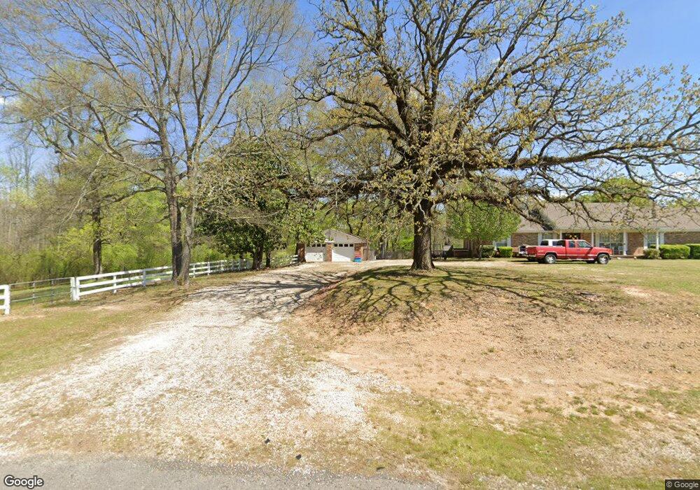
6112 Highway 7 Bismarck, AR 71929
Estimated Value: $135,440 - $227,000
--
Bed
1
Bath
1,481
Sq Ft
$123/Sq Ft
Est. Value
About This Home
This home is located at 6112 Highway 7, Bismarck, AR 71929 and is currently estimated at $181,860, approximately $122 per square foot. 6112 Highway 7 is a home located in Hot Spring County with nearby schools including Bismarck Elementary School, Bismarck Middle School, and Bismarck High School.
Ownership History
Date
Name
Owned For
Owner Type
Purchase Details
Closed on
Apr 14, 2025
Sold by
Leavitt Glenice E
Bought by
Overturf Kyle and Overturf Mitzi
Current Estimated Value
Purchase Details
Closed on
Aug 27, 2009
Sold by
Kizziar Johnny C and Kizziar Linda L
Bought by
Martin-Mccolley Vallee E
Home Financials for this Owner
Home Financials are based on the most recent Mortgage that was taken out on this home.
Original Mortgage
$93,877
Interest Rate
5.26%
Mortgage Type
Unknown
Purchase Details
Closed on
May 14, 1996
Bought by
Kizziar Johnny
Create a Home Valuation Report for This Property
The Home Valuation Report is an in-depth analysis detailing your home's value as well as a comparison with similar homes in the area
Home Values in the Area
Average Home Value in this Area
Purchase History
| Date | Buyer | Sale Price | Title Company |
|---|---|---|---|
| Overturf Kyle | $150,000 | None Listed On Document | |
| Overturf Kyle | $150,000 | None Listed On Document | |
| Martin-Mccolley Vallee E | $88,000 | -- | |
| Kizziar Johnny | $1,000 | -- |
Source: Public Records
Mortgage History
| Date | Status | Borrower | Loan Amount |
|---|---|---|---|
| Previous Owner | Martin-Mccolley Vallee E | $93,877 |
Source: Public Records
Tax History Compared to Growth
Tax History
| Year | Tax Paid | Tax Assessment Tax Assessment Total Assessment is a certain percentage of the fair market value that is determined by local assessors to be the total taxable value of land and additions on the property. | Land | Improvement |
|---|---|---|---|---|
| 2024 | $369 | $17,375 | $1,945 | $15,430 |
| 2023 | $444 | $17,375 | $1,945 | $15,430 |
| 2022 | $494 | $17,375 | $1,945 | $15,430 |
| 2021 | $494 | $17,375 | $1,945 | $15,430 |
| 2020 | $471 | $16,915 | $2,255 | $14,660 |
| 2019 | $471 | $16,915 | $2,255 | $14,660 |
| 2018 | $496 | $16,915 | $2,255 | $14,660 |
| 2017 | $496 | $16,915 | $2,255 | $14,660 |
| 2016 | $846 | $16,915 | $2,255 | $14,660 |
| 2015 | -- | $16,780 | $2,660 | $14,120 |
| 2014 | $489 | $16,780 | $2,660 | $14,120 |
Source: Public Records
Map
Nearby Homes
- 6486 Highway 7
- 14775 Highway 84
- 00 Pin Oak Dr
- xx Pin Oak Dr
- 2152 Thomas Loop
- 1966 Thomas Loop
- 7369 Arkansas 7
- 4437 Highway 7
- 4437 Highway 7 Unit 2078 Arlie Moore Roa
- 593 Fendley Rd
- 2607 Chestnut Dr
- TBD Navaho Trail
- 0000 Laurel Rd
- 1237 Broken Bow Ln
- 549 Daniel Dr
- 00 Broken Bow Ln
- TBD Broken Bow Ln
- 2570 Arkansas 7
- 2570 Arkansas 7 Unit 2568 Highway 7
- 883 Ozark Loop
- 6156 Highway 7
- 6095 Highway 7
- 6184 Highway 7
- 6218 Highway 7
- 6012 Highway 7
- 247 Thomas Loop
- 6203 Highway 7
- 5991 Highway 7
- TBA Corinth
- 5977 Arkansas 7
- 5977 Highway 7
- 5940 Highway 7
- 5943 Highway 7
- 0 Hwy 84 and Camden Ln Unit 19037162
- 0 Camp
- LOT 3 Sabrina Dr
- Tract 2,3 4 & 5 Hwy 84
- 000 Freehill Rd Rd
- Highway 7
- Tract 2 & 3 Hwy 84