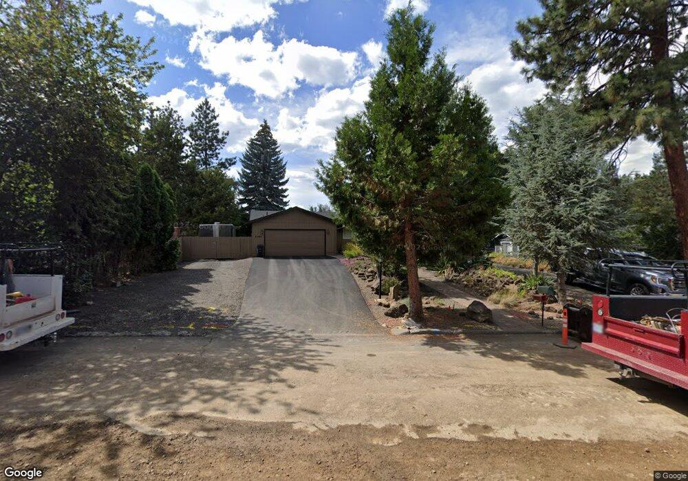
61129 Benham Rd Bend, OR 97702
Old Farm District NeighborhoodEstimated Value: $518,000 - $639,221
3
Beds
2
Baths
1,384
Sq Ft
$427/Sq Ft
Est. Value
About This Home
This home is located at 61129 Benham Rd, Bend, OR 97702 and is currently estimated at $591,055, approximately $427 per square foot. 61129 Benham Rd is a home located in Deschutes County with nearby schools including R.E. Jewell Elementary School, High Desert Middle School, and Morning Star Christian School.
Ownership History
Date
Name
Owned For
Owner Type
Purchase Details
Closed on
Jul 17, 2009
Sold by
Putschler Douglas C
Bought by
Putschler Douglas C and Putschler Kristi
Current Estimated Value
Purchase Details
Closed on
Jun 22, 2009
Sold by
Deutsche Bank National Trust Company
Bought by
Putschler Douglas C
Purchase Details
Closed on
Apr 23, 2009
Sold by
Brown Joshua and Brown Erin
Bought by
Deutsche Bank National Trust Company and Bcapb Llc Trust 2007-Ab1
Purchase Details
Closed on
Dec 11, 2006
Sold by
Solberg Ronald L and Solberg Debra A
Bought by
Brown Joshua and Brown Erin
Home Financials for this Owner
Home Financials are based on the most recent Mortgage that was taken out on this home.
Original Mortgage
$246,150
Interest Rate
6.38%
Mortgage Type
Unknown
Create a Home Valuation Report for This Property
The Home Valuation Report is an in-depth analysis detailing your home's value as well as a comparison with similar homes in the area
Home Values in the Area
Average Home Value in this Area
Purchase History
| Date | Buyer | Sale Price | Title Company |
|---|---|---|---|
| Putschler Douglas C | -- | Accommodation | |
| Putschler Douglas C | $136,000 | First American Title | |
| Deutsche Bank National Trust Company | $148,750 | Accommodation | |
| Brown Joshua | $273,500 | First American |
Source: Public Records
Mortgage History
| Date | Status | Borrower | Loan Amount |
|---|---|---|---|
| Previous Owner | Brown Joshua | $246,150 |
Source: Public Records
Tax History
| Year | Tax Paid | Tax Assessment Tax Assessment Total Assessment is a certain percentage of the fair market value that is determined by local assessors to be the total taxable value of land and additions on the property. | Land | Improvement |
|---|---|---|---|---|
| 2025 | $4,251 | $251,590 | -- | -- |
| 2024 | $4,090 | $244,270 | -- | -- |
| 2023 | $3,791 | $237,160 | $0 | $0 |
| 2022 | $3,537 | $223,560 | $0 | $0 |
| 2021 | $3,543 | $217,050 | $0 | $0 |
| 2020 | $3,361 | $217,050 | $0 | $0 |
| 2019 | $3,268 | $210,730 | $0 | $0 |
| 2018 | $3,175 | $204,600 | $0 | $0 |
| 2017 | $3,082 | $198,650 | $0 | $0 |
| 2016 | $2,940 | $192,870 | $0 | $0 |
| 2015 | $2,858 | $187,260 | $0 | $0 |
| 2014 | $2,840 | $181,810 | $0 | $0 |
Source: Public Records
Map
Nearby Homes
- 20246 Gaines Ct
- 20381 Aberdeen Dr
- 20221 Silver Sage St
- 20414 Murphy Rd
- 20382 Penhollow Ln
- 61280 Parrell Rd Unit 10
- 61177 SE Wagyu Dr Unit Lot 124
- 61185 SE Wagyu Dr Unit Lot 126
- 61189 SE Wagyu Dr
- 61022 Parrell Rd
- 61304 SE Wizard Ln Unit 8
- 20176 Hawes Ln
- 61170 SE Berkshire Way Unit Lot 108
- 61166 SE Berkshire Way Unit Lot 107
- 20297 Knightsbridge Place
- 20505 Aberdeen Dr
- 20302 Knightsbridge Place
- 20380 Tailblock Rd
- 61150 Geary Dr
- 60956 SE Miles Ct
- 61133 Benham Rd
- 61123 Benham Rd Unit 1
- 61123 Benham Rd
- 20294 Murphy Rd
- 61137 Benham Rd
- 61124 Benham Rd
- 20298 Murphy Rd
- 61138 Benham Rd
- 20290 Murphy Rd
- 61141 Benham Rd
- 20320 Murphy Rd
- 20284 Murphy Rd
- 20303 Murphy Rd
- 20325 Murphy Rd
- 61140 Benham Rd
- 61145 Benham Rd
- 61140 Tapadera St
- 20331 Murphy Rd
- 61136 Tapadera St
- 20301 Silver Sage St
Your Personal Tour Guide
Ask me questions while you tour the home.