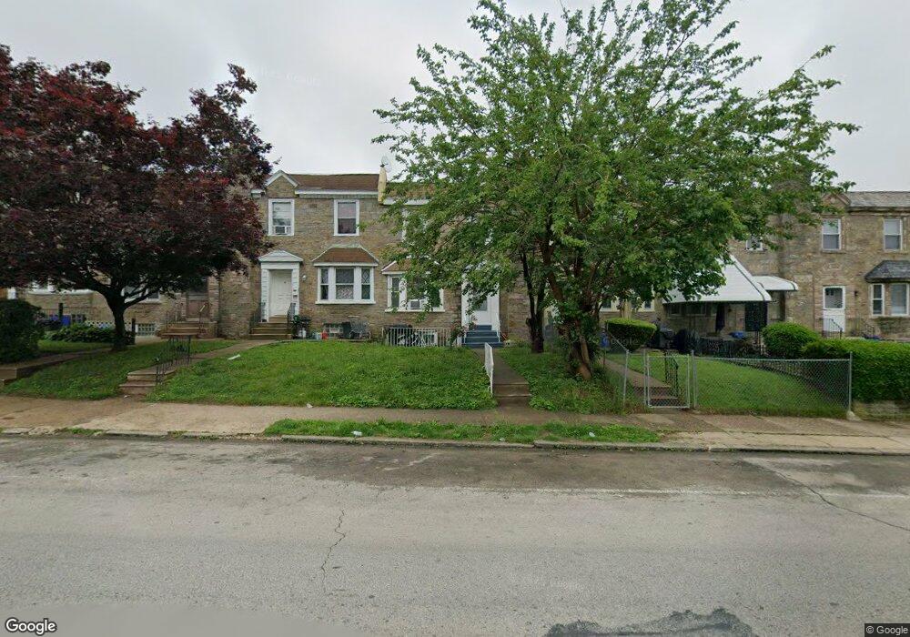
6113 Loretto Ave Philadelphia, PA 19149
Oxford Circle NeighborhoodEstimated Value: $212,000 - $246,202
4
Beds
1
Bath
1,520
Sq Ft
$155/Sq Ft
Est. Value
About This Home
This home is located at 6113 Loretto Ave, Philadelphia, PA 19149 and is currently estimated at $235,051, approximately $154 per square foot. 6113 Loretto Ave is a home located in Philadelphia County with nearby schools including Laura H Carnell School, Harding Warren G Middle School, and Samuel Fels High School.
Ownership History
Date
Name
Owned For
Owner Type
Purchase Details
Closed on
Oct 31, 2003
Sold by
Quinn James E
Bought by
Ali A K M Showkat
Current Estimated Value
Home Financials for this Owner
Home Financials are based on the most recent Mortgage that was taken out on this home.
Original Mortgage
$68,400
Outstanding Balance
$31,777
Interest Rate
6.03%
Mortgage Type
Stand Alone First
Estimated Equity
$203,274
Purchase Details
Closed on
Oct 7, 1998
Sold by
Sinkow Adolph and Sinkow Marilyn
Bought by
Greater Philadelphia Cablevision Inc
Create a Home Valuation Report for This Property
The Home Valuation Report is an in-depth analysis detailing your home's value as well as a comparison with similar homes in the area
Home Values in the Area
Average Home Value in this Area
Purchase History
| Date | Buyer | Sale Price | Title Company |
|---|---|---|---|
| Ali A K M Showkat | $85,500 | -- | |
| Greater Philadelphia Cablevision Inc | $37,500 | -- |
Source: Public Records
Mortgage History
| Date | Status | Borrower | Loan Amount |
|---|---|---|---|
| Open | Ali A K M Showkat | $68,400 |
Source: Public Records
Tax History Compared to Growth
Tax History
| Year | Tax Paid | Tax Assessment Tax Assessment Total Assessment is a certain percentage of the fair market value that is determined by local assessors to be the total taxable value of land and additions on the property. | Land | Improvement |
|---|---|---|---|---|
| 2025 | $2,520 | $227,900 | $45,580 | $182,320 |
| 2024 | $2,520 | $227,900 | $45,580 | $182,320 |
| 2023 | $2,520 | $180,000 | $36,000 | $144,000 |
| 2022 | $1,825 | $180,000 | $36,000 | $144,000 |
| 2021 | $1,825 | $0 | $0 | $0 |
| 2020 | $1,825 | $0 | $0 | $0 |
| 2019 | $1,751 | $0 | $0 | $0 |
| 2018 | $1,606 | $0 | $0 | $0 |
| 2017 | $1,606 | $0 | $0 | $0 |
| 2016 | $1,606 | $0 | $0 | $0 |
| 2015 | $1,537 | $0 | $0 | $0 |
| 2014 | -- | $114,700 | $24,480 | $90,220 |
| 2012 | -- | $14,272 | $2,219 | $12,053 |
Source: Public Records
Map
Nearby Homes
- 6114 Alma St
- 6111 Castor Ave
- 6135 Castor Ave
- 6008 Alma St
- 1428 Higbee St
- 6012 Belden St
- 1439 Higbee St
- 1154 Devereaux Ave
- 5958 Loretto Ave
- 1438 Higbee St
- 6049 Frontenac St
- 1468 Stevens St
- 6239 Castor Ave
- 5937 Belden St
- 1227 Hale St
- 1217 Hale St
- 1507 Benner St
- 1427 Robbins Ave
- 5900 Loretto Ave
- 6000 Agusta St