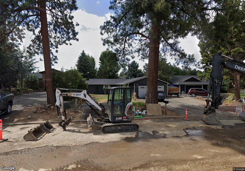
61133 Benham Rd Bend, OR 97702
Old Farm District NeighborhoodEstimated Value: $601,664 - $672,000
3
Beds
2
Baths
1,694
Sq Ft
$372/Sq Ft
Est. Value
About This Home
This home is located at 61133 Benham Rd, Bend, OR 97702 and is currently estimated at $630,916, approximately $372 per square foot. 61133 Benham Rd is a home located in Deschutes County with nearby schools including R.E. Jewell Elementary School, High Desert Middle School, and Morning Star Christian School.
Ownership History
Date
Name
Owned For
Owner Type
Purchase Details
Closed on
Aug 29, 2018
Sold by
Gauger Charles S
Bought by
Wells Steven H and Wells Sharon K
Current Estimated Value
Purchase Details
Closed on
Sep 26, 2005
Sold by
Wells Steve H and Wells Sharon K
Bought by
Gauger Charles S and Wells Family Trust
Create a Home Valuation Report for This Property
The Home Valuation Report is an in-depth analysis detailing your home's value as well as a comparison with similar homes in the area
Home Values in the Area
Average Home Value in this Area
Purchase History
| Date | Buyer | Sale Price | Title Company |
|---|---|---|---|
| Wells Steven H | -- | Amerititle | |
| Gauger Charles S | -- | -- |
Source: Public Records
Tax History
| Year | Tax Paid | Tax Assessment Tax Assessment Total Assessment is a certain percentage of the fair market value that is determined by local assessors to be the total taxable value of land and additions on the property. | Land | Improvement |
|---|---|---|---|---|
| 2025 | $3,880 | $229,650 | -- | -- |
| 2024 | $3,733 | $222,970 | -- | -- |
| 2023 | $3,461 | $216,480 | $0 | $0 |
| 2022 | $3,229 | $204,060 | $0 | $0 |
| 2021 | $3,234 | $198,120 | $0 | $0 |
| 2020 | $3,068 | $198,120 | $0 | $0 |
| 2019 | $2,983 | $192,350 | $0 | $0 |
| 2018 | $2,898 | $186,750 | $0 | $0 |
| 2017 | $2,813 | $181,320 | $0 | $0 |
| 2016 | $2,683 | $176,040 | $0 | $0 |
| 2015 | $2,609 | $170,920 | $0 | $0 |
| 2014 | $2,598 | $165,950 | $0 | $0 |
Source: Public Records
Map
Nearby Homes
- 20246 Gaines Ct
- 20221 Silver Sage St
- 20381 Aberdeen Dr
- 61170 Parrell Rd
- 20414 Murphy Rd
- 20382 Penhollow Ln
- Glacier Plan at Thunder Ridge
- Forest Plan at Thunder Ridge
- Woodbridge Plan at Thunder Ridge
- 61280 Parrell Rd Unit 10
- 61185 SE Wagyu Dr Unit Lot 126
- 61189 SE Wagyu Dr
- 61304 SE Wizard Ln Unit 8
- 61022 Parrell Rd
- 20521 SE Dorset Place
- 20176 Hawes Ln
- 20297 Knightsbridge Place
- 61170 SE Berkshire Way Unit Lot 108
- 61014 SE Geary Dr
- 61166 SE Berkshire Way Unit Lot 107
- 61137 Benham Rd
- 61129 Benham Rd
- 20298 Murphy Rd
- 61141 Benham Rd
- 20294 Murphy Rd
- 61123 Benham Rd Unit 1
- 61123 Benham Rd
- 61138 Benham Rd
- 61124 Benham Rd
- 61145 Benham Rd
- 20301 Silver Sage St
- 61140 Tapadera St
- 20290 Murphy Rd
- 20297 Silver Sage St
- 20309 Silver Sage St
- 61140 Benham Rd
- 20320 Murphy Rd
- 20289 Silver Sage St
- 20284 Murphy Rd
- 61136 Tapadera St
Your Personal Tour Guide
Ask me questions while you tour the home.