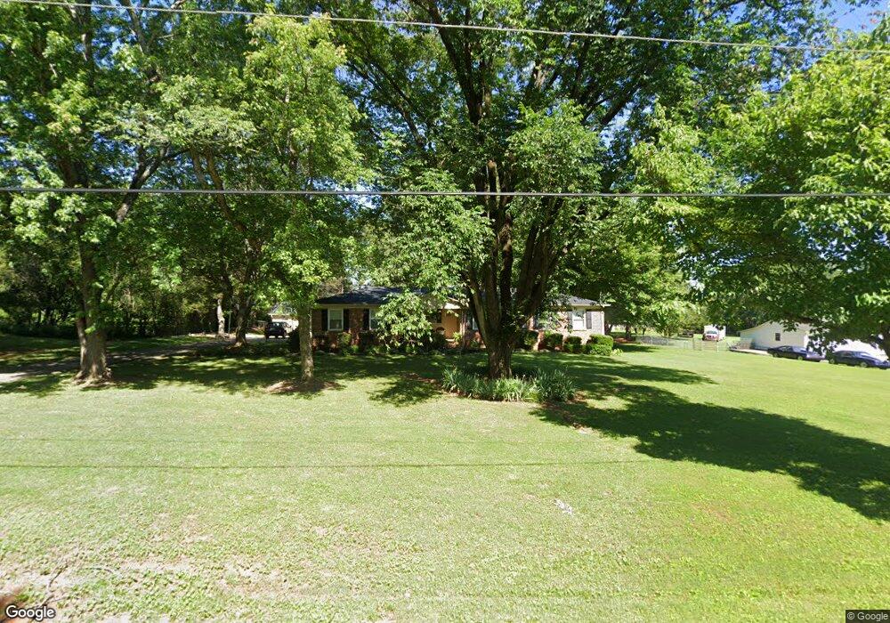
6114 Homestead Rd Huntsville, AL 35811
Moores Mill NeighborhoodEstimated Value: $283,000 - $301,000
--
Bed
--
Bath
1,928
Sq Ft
$151/Sq Ft
Est. Value
About This Home
This home is located at 6114 Homestead Rd, Huntsville, AL 35811 and is currently estimated at $290,347, approximately $150 per square foot. 6114 Homestead Rd is a home with nearby schools including Mt Carmel Elementary School, Riverton Intermediate School, and Buckhorn Middle School.
Ownership History
Date
Name
Owned For
Owner Type
Purchase Details
Closed on
Nov 15, 2018
Sold by
Nylese Green Jimmy and Nylese Green
Bought by
Green Jimmy
Current Estimated Value
Home Financials for this Owner
Home Financials are based on the most recent Mortgage that was taken out on this home.
Original Mortgage
$73,393
Outstanding Balance
$55,702
Interest Rate
4.8%
Mortgage Type
New Conventional
Estimated Equity
$234,645
Purchase Details
Closed on
Aug 4, 2009
Sold by
Liberty Bail Bond Co Inc
Bought by
Green Jimmy and Green Nylese
Create a Home Valuation Report for This Property
The Home Valuation Report is an in-depth analysis detailing your home's value as well as a comparison with similar homes in the area
Home Values in the Area
Average Home Value in this Area
Purchase History
| Date | Buyer | Sale Price | Title Company |
|---|---|---|---|
| Green Jimmy | $67,500 | Nationallink | |
| Green Jimmy | -- | -- |
Source: Public Records
Mortgage History
| Date | Status | Borrower | Loan Amount |
|---|---|---|---|
| Open | Green Jimmy | $73,393 |
Source: Public Records
Tax History Compared to Growth
Tax History
| Year | Tax Paid | Tax Assessment Tax Assessment Total Assessment is a certain percentage of the fair market value that is determined by local assessors to be the total taxable value of land and additions on the property. | Land | Improvement |
|---|---|---|---|---|
| 2024 | $752 | $21,680 | $4,500 | $17,180 |
| 2023 | $730 | $19,640 | $4,500 | $15,140 |
| 2022 | $590 | $17,860 | $4,500 | $13,360 |
| 2021 | $439 | $13,580 | $3,000 | $10,580 |
| 2020 | $400 | $12,510 | $3,000 | $9,510 |
| 2019 | $387 | $12,160 | $3,000 | $9,160 |
| 2018 | $371 | $11,720 | $0 | $0 |
| 2017 | $361 | $11,460 | $0 | $0 |
| 2016 | $361 | $11,460 | $0 | $0 |
| 2015 | $361 | $11,460 | $0 | $0 |
| 2014 | $325 | $10,460 | $0 | $0 |
Source: Public Records
Map
Nearby Homes
- 203 Federal Ln
- 197 Sawmill Rd
- 109 Tammy Gaines Ln
- 114 Sandi Paige Ln
- 100 Cades Cove
- 222 Lyndon Cove Rd
- 205 Lyndon Cove Rd
- 216 Lyndon Cove Rd
- 210 Lyndon Cove Rd
- 146 Henson Dr
- 134 Alpha Ln
- 209 Idle Creek Dr
- 215 Idle Creek Dr
- 102 Tara Dr
- 217 Idle Creek Dr
- 135 Lanwood Dr
- 111 Henson Dr
- The Bennington Plan at Blue Ridge at Mount Carmel - Signature Series
- The Potomac Plan at Blue Ridge at Mount Carmel - Founders Series
- The Raleigh Plan at Blue Ridge at Mount Carmel - Signature Series
- 6116 Homestead Rd
- 6112 Homestead Rd
- 6111 Homestead Rd
- 6118 Homestead Rd
- 6109 Springlake Dr
- 6107 Springlake Dr
- 6201 Homestead Rd
- 6109 Homestead Rd
- 6110 Homestead Rd
- 6105 Springlake Dr
- 6200 Homestead Rd
- 4904 Friendswood Dr
- 4905 Friendswood Dr
- 6111 Springlake Dr
- 6103 Springlake Dr
- 6108 Homestead Rd
- 6113 Springlake Dr
- 6104 Springlake Dr
- 6106 Springlake Dr
- 6102 Springlake Dr