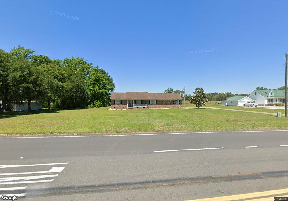
6114 Kates Bay Hwy Conway, SC 29527
Estimated Value: $282,823 - $340,000
3
Beds
2
Baths
1,581
Sq Ft
$197/Sq Ft
Est. Value
About This Home
This home is located at 6114 Kates Bay Hwy, Conway, SC 29527 and is currently estimated at $311,956, approximately $197 per square foot. 6114 Kates Bay Hwy is a home with nearby schools including Pee Dee Elementary School, Whittemore Park Middle School, and Conway High School.
Ownership History
Date
Name
Owned For
Owner Type
Purchase Details
Closed on
May 31, 2016
Sold by
Westgate Myrtle Beach
Bought by
Lundy Jamie
Current Estimated Value
Home Financials for this Owner
Home Financials are based on the most recent Mortgage that was taken out on this home.
Original Mortgage
$60,000
Outstanding Balance
$47,862
Interest Rate
3.64%
Estimated Equity
$264,094
Create a Home Valuation Report for This Property
The Home Valuation Report is an in-depth analysis detailing your home's value as well as a comparison with similar homes in the area
Home Values in the Area
Average Home Value in this Area
Purchase History
| Date | Buyer | Sale Price | Title Company |
|---|---|---|---|
| Lundy Jamie | -- | -- |
Source: Public Records
Mortgage History
| Date | Status | Borrower | Loan Amount |
|---|---|---|---|
| Open | Lundy Jamie | $60,000 | |
| Closed | Lundy Jamie | -- |
Source: Public Records
Tax History Compared to Growth
Tax History
| Year | Tax Paid | Tax Assessment Tax Assessment Total Assessment is a certain percentage of the fair market value that is determined by local assessors to be the total taxable value of land and additions on the property. | Land | Improvement |
|---|---|---|---|---|
| 2024 | $787 | $17,064 | $5,227 | $11,837 |
| 2023 | $787 | $6,596 | $851 | $5,745 |
| 2021 | $714 | $11,628 | $1,350 | $10,278 |
| 2020 | $619 | $11,628 | $1,350 | $10,278 |
| 2019 | $619 | $11,628 | $1,350 | $10,278 |
| 2018 | $498 | $7,596 | $1,110 | $6,486 |
| 2017 | $483 | $7,596 | $1,110 | $6,486 |
| 2016 | $0 | $7,596 | $1,110 | $6,486 |
| 2015 | -- | $5,064 | $740 | $11,351 |
| 2014 | $446 | $7,596 | $1,110 | $6,486 |
Source: Public Records
Map
Nearby Homes
- 232 Harvest Ridge Way
- 297 Harvest Ridge Way
- 380 Harvest Ridge Way
- 1031 Corn Husk Loop
- 131 Coralberry Dr
- 128 Coralberry Dr
- 540 Scarlet Sage Dr
- 544 Scarlet Sage Dr
- 343 Black Gum Dr
- 123 Coralberry Dr
- 109 Rena Ln Unit Lot 3
- 318 Black Gum Dr
- 331 Black Gum Dr
- 327 Black Gum Dr
- 310 Black Gum Dr
- 6572 Elbow Rd Unit Lot C Melanie
- 6580 Elbow Rd Unit Lot D Madalyn
- ARIA Plan at Dove Crossing
- CALI Plan at Dove Crossing
- MANNING Plan at Dove Crossing
- 6100 Kates Bay Hwy
- 6120 Kates Bay Hwy
- 6115 Cates Bay Hwy
- 6095 Cates Bay Hwy
- 264 Harvest Ridge Way
- 240 Harvest Ridge Way Unit Lot 105- Aria A
- 6121 Cates Bay Hwy
- 6087 Kates Bay Hwy
- 6088 Kates Bay Hwy
- 249 Harvest Rdg Way
- 6130 Kates Bay Hwy
- 253 Harvest Rdg Way
- 6145 Cates Bay Hwy
- 111 Spring Wheat Way
- 111 Spring Wheat Way Unit Lot 125- Aria A
- 228 Harvest Ridge Way Unit Lot 315- Aria B
- 220 Harvest Ridge Way
- 216 Harvest Ridge Way
- 224 Harvest Ridge Way Unit Lot 314- Galen B
- 204 Harvest Ridge Way Unit Lot 309- Aria B