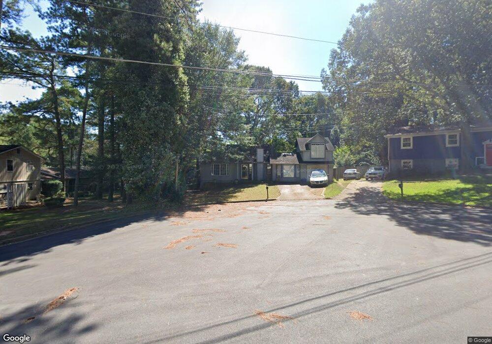
6114 Phillip Ln Lithonia, GA 30058
Estimated Value: $238,000 - $264,000
3
Beds
3
Baths
2,106
Sq Ft
$117/Sq Ft
Est. Value
About This Home
This home is located at 6114 Phillip Ln, Lithonia, GA 30058 and is currently estimated at $247,335, approximately $117 per square foot. 6114 Phillip Ln is a home located in DeKalb County with nearby schools including Panola Way Elementary School, Lithonia Middle School, and Lithonia High School.
Ownership History
Date
Name
Owned For
Owner Type
Purchase Details
Closed on
Oct 22, 2009
Sold by
Federal Natl Mtg Assn Fnma
Bought by
Allen Phyllis D
Current Estimated Value
Purchase Details
Closed on
Apr 19, 2007
Sold by
Clayton Amy A
Bought by
Perriman Paul
Home Financials for this Owner
Home Financials are based on the most recent Mortgage that was taken out on this home.
Original Mortgage
$162,800
Interest Rate
6.1%
Mortgage Type
New Conventional
Purchase Details
Closed on
Jan 12, 2001
Sold by
Clayton Trenton B
Bought by
Clayton Amy A
Create a Home Valuation Report for This Property
The Home Valuation Report is an in-depth analysis detailing your home's value as well as a comparison with similar homes in the area
Home Values in the Area
Average Home Value in this Area
Purchase History
| Date | Buyer | Sale Price | Title Company |
|---|---|---|---|
| Allen Phyllis D | -- | -- | |
| Perriman Paul | $162,800 | -- | |
| Clayton Amy A | -- | -- |
Source: Public Records
Mortgage History
| Date | Status | Borrower | Loan Amount |
|---|---|---|---|
| Previous Owner | Perriman Paul | $162,800 |
Source: Public Records
Tax History Compared to Growth
Tax History
| Year | Tax Paid | Tax Assessment Tax Assessment Total Assessment is a certain percentage of the fair market value that is determined by local assessors to be the total taxable value of land and additions on the property. | Land | Improvement |
|---|---|---|---|---|
| 2025 | $764 | $94,600 | $15,136 | $79,464 |
| 2024 | $2,687 | $94,600 | $15,000 | $79,600 |
| 2023 | $2,687 | $58,040 | $5,804 | $52,236 |
| 2022 | $1,767 | $58,040 | $5,804 | $52,236 |
| 2021 | $1,340 | $58,040 | $6,000 | $52,040 |
| 2020 | $1,344 | $40,760 | $6,000 | $34,760 |
| 2019 | $1,229 | $37,760 | $6,000 | $31,760 |
| 2018 | $1,166 | $43,880 | $6,000 | $37,880 |
| 2017 | $1,212 | $34,640 | $3,360 | $31,280 |
| 2016 | $1,014 | $31,280 | $3,360 | $27,920 |
| 2014 | $1,069 | $32,880 | $3,360 | $29,520 |
Source: Public Records
Map
Nearby Homes
- 2285 Cherokee Valley Cir Unit III
- 2211 Jonathan Ave
- 2247 Cherokee Valley Dr
- 6126 Marbut Rd Unit II
- 2293 Cherokee Valley Dr Unit 3
- 6182 Saint Charles Ct
- 6047 Marbut Rd
- 2128 Tiffany Ln
- 2169 Tiffany Ln
- 6202 Saint Christophers Ct
- 6082 Raintree Bend
- 6185 Marbut Farms Chase
- 2039 Raintree Place
- 2138 Tiffany Trail
- 2067 Raintree Place
- 1882 Corners Cir
- 6248 Marbut Farms Ln
- 2045 Lown Farm Trail Unit 3
- 2360 Anne's Lake Cir
- 2123 Lown Farm Ln
- 6108 Phillip Ln
- 2180 Jonathan Ave Unit 6
- 6115 Michael Rd
- 2174 Jonathan Ave Unit 6
- 2186 Jonathan Ave
- 6109 Michael Rd
- 6101 Phillip Ln
- 2192 Jonathan Ave
- 2307 Cherokee Valley Cir
- 2303 Cherokee Valley Cir
- 2297 Cherokee Valley Cir
- 2313 Cherokee Valley Cir
- 6113 Phillip Ln Unit 6
- 0 Michael Rd Unit 3129070
- 6102 Michael Rd Unit 6
- 2162 Jonathan Ave
- 2177 Jonathan Ave
- 2291 Cherokee Valley Cir
- 2319 Cherokee Valley Cir
- 2171 Jonathan Ave