6114 S Point Rd Ocean City, MD 21842
Estimated Value: $425,810 - $529,000
--
Bed
1
Bath
1,806
Sq Ft
$262/Sq Ft
Est. Value
About This Home
This home is located at 6114 S Point Rd, Ocean City, MD 21842 and is currently estimated at $473,203, approximately $262 per square foot. 6114 S Point Rd is a home located in Worcester County with nearby schools including Ocean City Elementary School, Stephen Decatur Middle School, and Berlin Intermediate School.
Ownership History
Date
Name
Owned For
Owner Type
Purchase Details
Closed on
Apr 30, 2019
Sold by
Walker Melinda C and Walker Andrew J
Bought by
Walker Scott A
Current Estimated Value
Purchase Details
Closed on
Jun 22, 1994
Sold by
Valentine Edward H and Valentine Joan A
Bought by
Walker Melinda C and Walker J A
Purchase Details
Closed on
Jul 21, 1987
Sold by
Peck David Willard and Robert Meade
Bought by
Valentine Edward H and Valentine Joan A
Home Financials for this Owner
Home Financials are based on the most recent Mortgage that was taken out on this home.
Original Mortgage
$6,000
Interest Rate
10.23%
Create a Home Valuation Report for This Property
The Home Valuation Report is an in-depth analysis detailing your home's value as well as a comparison with similar homes in the area
Home Values in the Area
Average Home Value in this Area
Purchase History
| Date | Buyer | Sale Price | Title Company |
|---|---|---|---|
| Walker Scott A | $110,000 | Ocean Investments Title Corp | |
| Walker Melinda C | $95,000 | -- | |
| Valentine Edward H | $120,000 | -- |
Source: Public Records
Mortgage History
| Date | Status | Borrower | Loan Amount |
|---|---|---|---|
| Previous Owner | Valentine Edward H | $6,000 |
Source: Public Records
Tax History Compared to Growth
Tax History
| Year | Tax Paid | Tax Assessment Tax Assessment Total Assessment is a certain percentage of the fair market value that is determined by local assessors to be the total taxable value of land and additions on the property. | Land | Improvement |
|---|---|---|---|---|
| 2025 | $2,323 | $264,300 | $127,800 | $136,500 |
| 2024 | $2,323 | $237,500 | $0 | $0 |
| 2023 | $2,068 | $210,700 | $0 | $0 |
| 2022 | $1,812 | $183,900 | $127,800 | $56,100 |
| 2021 | $1,819 | $183,833 | $0 | $0 |
| 2020 | $1,825 | $183,767 | $0 | $0 |
| 2019 | $1,832 | $185,200 | $129,300 | $55,900 |
| 2018 | $1,806 | $185,200 | $129,300 | $55,900 |
| 2017 | $1,834 | $185,200 | $0 | $0 |
| 2016 | $1,889 | $187,300 | $0 | $0 |
| 2015 | $1,485 | $185,133 | $0 | $0 |
| 2014 | $1,485 | $182,967 | $0 | $0 |
Source: Public Records
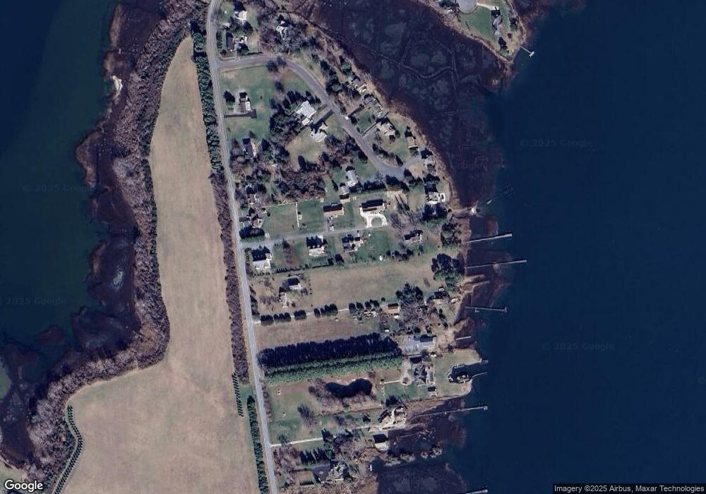
Map
Nearby Homes
- 11505 Heron Ln
- 11419 Fox Run
- 6226 Knoll Hill Dr
- 6322 Knoll Hill Dr
- 6411 Knoll Hill Dr
- 11525 Bay Point Ln
- 6438 Knoll Hill Dr
- 11518 Bay Point Ln
- 5711 Waterside Dr
- 11334 Newport Bay Dr
- 0 Newport Bay Dr Unit MDWO102088
- Lot #20 S Hills Dr
- 11602 S Hills Dr
- Lot 23 Hampton Rd
- 6513 Hampton Rd
- 6906 Rum Point Ln
- 0 Rum Pointe Rd Unit MDWO2027920
- 11410 Gaskin Dr
- 11531 Quillin Way
- 0 E Shire Dr
- 6114 S Point Rd
- 6048 South Point Rd
- 6112 S Point Rd
- 6116 South Point Rd
- 6116 S Point Rd
- 6040 South Point Rd
- 6040 South Point Rd
- 6110 S Point Rd
- 6110 South Point Rd
- 6108 South Point Rd
- 6120 South Point Rd
- 6046 S Point Rd
- 6038 South Point Rd
- 6038 South Point Rd
- 6046 South Point Rd
- 6241 S Point Rd
- 6010 S Point Hwy
- 6106 S Point Rd
- 6106 South Point Rd
- 6118 S Point Rd