6115 Bills Rd Mineral, VA 23117
Margo NeighborhoodEstimated Value: $476,340 - $624,000
4
Beds
3
Baths
1,470
Sq Ft
$354/Sq Ft
Est. Value
About This Home
This home is located at 6115 Bills Rd, Mineral, VA 23117 and is currently estimated at $520,335, approximately $353 per square foot. 6115 Bills Rd is a home located in Spotsylvania County with nearby schools including Livingston Elementary School, Post Oak Middle School, and Spotsylvania High School.
Ownership History
Date
Name
Owned For
Owner Type
Purchase Details
Closed on
Aug 4, 2011
Sold by
Fannie Mae
Bought by
Thompson Robert D
Current Estimated Value
Home Financials for this Owner
Home Financials are based on the most recent Mortgage that was taken out on this home.
Original Mortgage
$170,050
Interest Rate
4.38%
Mortgage Type
New Conventional
Purchase Details
Closed on
Jun 29, 2010
Sold by
White Pc Sub Tr Samuel I and Davison James V
Bought by
Federal National Mortgage Association
Purchase Details
Closed on
Jul 27, 2004
Sold by
Denes Alexandru
Bought by
Davison James
Home Financials for this Owner
Home Financials are based on the most recent Mortgage that was taken out on this home.
Original Mortgage
$179,000
Interest Rate
6.2%
Mortgage Type
New Conventional
Purchase Details
Closed on
Dec 10, 2002
Sold by
Grp Lake Anna Land
Bought by
Denes Alexandru
Create a Home Valuation Report for This Property
The Home Valuation Report is an in-depth analysis detailing your home's value as well as a comparison with similar homes in the area
Home Values in the Area
Average Home Value in this Area
Purchase History
| Date | Buyer | Sale Price | Title Company |
|---|---|---|---|
| Thompson Robert D | $179,000 | -- | |
| Federal National Mortgage Association | $229,478 | -- | |
| Davison James | $235,000 | -- | |
| Denes Alexandru | $16,500 | -- |
Source: Public Records
Mortgage History
| Date | Status | Borrower | Loan Amount |
|---|---|---|---|
| Previous Owner | Thompson Robert D | $170,050 | |
| Previous Owner | Davison James | $179,000 |
Source: Public Records
Tax History Compared to Growth
Tax History
| Year | Tax Paid | Tax Assessment Tax Assessment Total Assessment is a certain percentage of the fair market value that is determined by local assessors to be the total taxable value of land and additions on the property. | Land | Improvement |
|---|---|---|---|---|
| 2025 | $3,157 | $430,000 | $41,200 | $388,800 |
| 2024 | $3,157 | $430,000 | $41,200 | $388,800 |
| 2023 | $2,817 | $365,000 | $36,000 | $329,000 |
| 2022 | $2,693 | $365,000 | $36,000 | $329,000 |
| 2021 | $2,481 | $306,500 | $36,000 | $270,500 |
| 2020 | $2,481 | $306,500 | $36,000 | $270,500 |
| 2019 | $2,465 | $290,900 | $36,000 | $254,900 |
| 2018 | $2,423 | $290,900 | $36,000 | $254,900 |
| 2017 | $2,213 | $260,400 | $36,000 | $224,400 |
| 2016 | $2,213 | $260,400 | $36,000 | $224,400 |
| 2015 | -- | $247,300 | $36,000 | $211,300 |
| 2014 | -- | $241,900 | $36,000 | $205,900 |
Source: Public Records
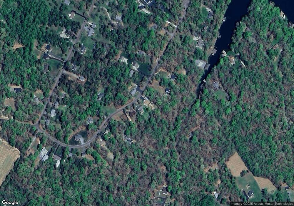
Map
Nearby Homes
- 6200 Bills Rd
- 6202 Bills Rd
- 6028 Lost Cove Dr
- 6206 Eds Rd
- 6103 Belmont Rd
- 6105 Belmont Rd
- 6121 Belmont Rd
- 6213 Belmont Rd
- 15507 Heth Dr
- 15004 Moonlight Ln
- 5605 Wyndemere Cir
- 5519 Bazzanella Dr
- 15604 Heth Dr
- 5511 Wyndemere Cir
- 5509 Bazzanella Dr
- 14814 Childs Cove Dr
- 5804 Dogwood Tree Ln
- 6201 Lake Front Way
- 5417 Bazzanella Dr
- 6200 Stubbs Cove Ln