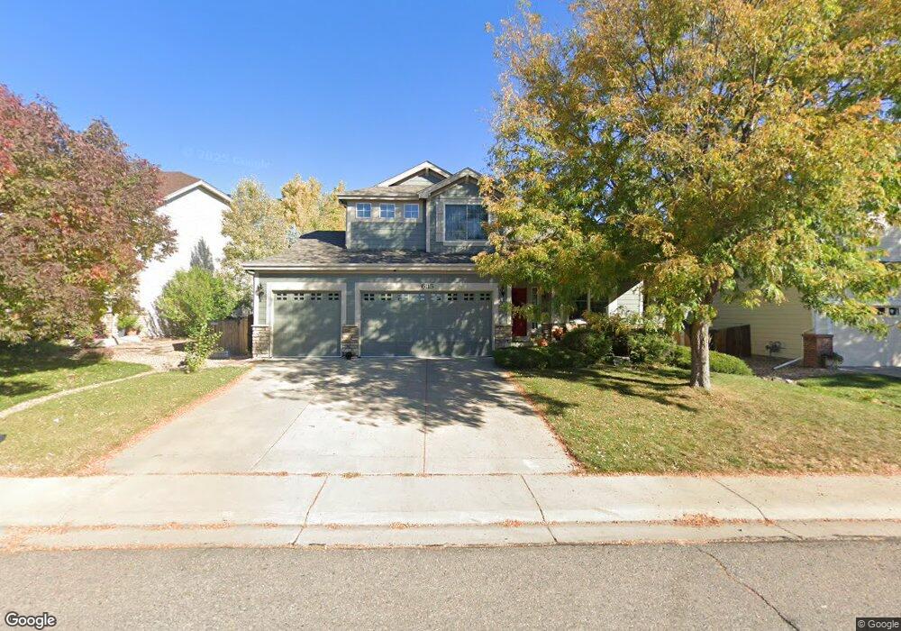
6115 E 132nd Way Thornton, CO 80602
Riverdale Park NeighborhoodEstimated Value: $623,776 - $698,000
3
Beds
3
Baths
3,599
Sq Ft
$182/Sq Ft
Est. Value
About This Home
This home is located at 6115 E 132nd Way, Thornton, CO 80602 and is currently estimated at $655,444, approximately $182 per square foot. 6115 E 132nd Way is a home located in Adams County with nearby schools including West Ridge Elementary School, Rodger Quist Middle School, and Riverdale Ridge High School.
Ownership History
Date
Name
Owned For
Owner Type
Purchase Details
Closed on
Sep 15, 2009
Sold by
Young Douglas M and Young Tammy L
Bought by
Schramm Jesse and Schramm Alecia
Current Estimated Value
Home Financials for this Owner
Home Financials are based on the most recent Mortgage that was taken out on this home.
Original Mortgage
$245,471
Outstanding Balance
$157,994
Interest Rate
5.2%
Mortgage Type
FHA
Estimated Equity
$497,450
Purchase Details
Closed on
Nov 20, 2002
Sold by
Kdb Homes Inc
Bought by
Young Douglas M and Young Tammy L
Home Financials for this Owner
Home Financials are based on the most recent Mortgage that was taken out on this home.
Original Mortgage
$237,995
Interest Rate
4.37%
Create a Home Valuation Report for This Property
The Home Valuation Report is an in-depth analysis detailing your home's value as well as a comparison with similar homes in the area
Home Values in the Area
Average Home Value in this Area
Purchase History
| Date | Buyer | Sale Price | Title Company |
|---|---|---|---|
| Schramm Jesse | $250,000 | Htco | |
| Young Douglas M | $297,494 | -- |
Source: Public Records
Mortgage History
| Date | Status | Borrower | Loan Amount |
|---|---|---|---|
| Open | Schramm Jesse | $245,471 | |
| Previous Owner | Young Douglas M | $237,995 |
Source: Public Records
Tax History
| Year | Tax Paid | Tax Assessment Tax Assessment Total Assessment is a certain percentage of the fair market value that is determined by local assessors to be the total taxable value of land and additions on the property. | Land | Improvement |
|---|---|---|---|---|
| 2025 | $4,242 | $44,880 | $7,820 | $37,060 |
| 2024 | $4,242 | $41,250 | $7,190 | $34,060 |
| 2023 | $4,221 | $47,220 | $6,970 | $40,250 |
| 2022 | $3,177 | $32,390 | $7,160 | $25,230 |
| 2021 | $3,060 | $32,390 | $7,160 | $25,230 |
| 2020 | $2,832 | $31,280 | $7,360 | $23,920 |
| 2019 | $2,834 | $31,280 | $7,360 | $23,920 |
| 2018 | $2,672 | $29,480 | $6,840 | $22,640 |
| 2017 | $2,669 | $29,480 | $6,840 | $22,640 |
| 2016 | $2,396 | $26,370 | $4,460 | $21,910 |
| 2015 | $2,391 | $26,370 | $4,460 | $21,910 |
| 2014 | $2,053 | $23,000 | $4,140 | $18,860 |
Source: Public Records
Map
Nearby Homes
- 13190 Kearney St
- 13427 Krameria St
- 13455 Magnolia Ct
- 6883 E 132nd Place
- 12884 Jasmine St Unit C
- 13271 Holly St Unit B
- 12870 Jasmine St Unit A
- 12856 Jasmine St Unit B
- 12822 Jasmine St Unit E
- 13664 Linden Ct
- 5628 Hudson Cir
- 13336 Olive St
- 12814 Newport Way
- 13380 Oneida St
- 12774 Leyden St Unit D
- 12754 Leyden St Unit E
- 5341 E 129th Way
- 12774 Jasmine Ct
- 12770 Ivanhoe St
- 12768 Ivanhoe St
- 6095 E 132nd Way
- 6135 E 132nd Way
- 6075 E 132nd Way
- 6165 E 132nd Way
- 6312 E 133rd Ave
- 13233 Leyden St
- 13234 Leyden St
- 6282 E 133rd Ave
- 6342 E 133rd Ave
- 6055 E 132nd Way
- 6195 E 132nd Way
- 6252 E 133rd Ave
- 13221 Leyden St
- 13222 Leyden St
- 6382 E 133rd Ave
- 13235 Locust St
- 6315 E 133rd Ave
- 6285 E 133rd Ave
- 6345 E 133rd Ave
- 6222 E 133rd Ave
Your Personal Tour Guide
Ask me questions while you tour the home.