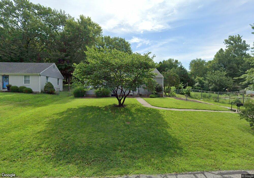
6115 Roger Dr Shawnee, KS 66203
Shawnee AreaEstimated Value: $246,000 - $275,000
About This Home
This home is located at 6115 Roger Dr, Shawnee, KS 66203 and is currently estimated at $262,445, approximately $282 per square foot. 6115 Roger Dr is a home located in Johnson County with nearby schools including Bluejacket / Flint Elementary, Hocker Grove Middle School, and Shawnee Mission North High School.
Ownership History
We collect this data history from publicly available records. To have your information removed, we recommend requesting removal directly through your county’s website.
Purchase Details
Home Financials for this Owner
Home Financials are based on the most recent Mortgage that was taken out on this home.Home Values in the Area
Average Home Value in this Area
Purchase History
We collect this data history from publicly available records. To have your information removed, we recommend requesting removal directly through your county’s website.
| Date | Buyer | Sale Price | Title Company |
|---|---|---|---|
| -- | First United Title Agency Ll |
Mortgage History
We collect this data history from publicly available records. To have your information removed, we recommend requesting removal directly through your county’s website.
| Date | Status | Borrower | Loan Amount |
|---|---|---|---|
| Open | $106,250 |
Tax History
We collect this data history from publicly available records. To have your information removed, we recommend requesting removal directly through your county’s website.
| Year | Tax Paid | Tax Assessment Tax Assessment Total Assessment is a certain percentage of the fair market value that is determined by local assessors to be the total taxable value of land and additions on the property. | Land | Improvement |
|---|---|---|---|---|
| 2025 | $2,700 | $26,013 | $5,178 | $20,835 |
| 2023 | $2,451 | $22,954 | $5,178 | $17,776 |
| 2022 | $2,236 | $20,861 | $4,758 | $16,103 |
| 2021 | $2,218 | $19,251 | $4,135 | $15,116 |
| 2020 | $1,947 | $16,652 | $3,756 | $12,896 |
| 2019 | $1,928 | $16,480 | $3,134 | $13,346 |
| 2018 | $1,718 | $14,605 | $2,816 | $11,789 |
| 2017 | $1,701 | $14,237 | $2,816 | $11,421 |
| 2016 | $1,562 | $12,891 | $2,816 | $10,075 |
| 2015 | $1,465 | $12,696 | $2,816 | $9,880 |
| 2013 | -- | $11,695 | $2,816 | $8,879 |
Map
- 6111 Melrose Ln
- 11705 W 60th Place
- 10408 W 65th St
- 10015 Johnson Dr
- 5819 Perry Ln
- 9905 W 60th Terrace
- 11815 Johnson Dr
- 5628 Melrose Ln
- 10112 W 65th St
- 5742 Garnett St
- 10924 W 67th St
- 12009 W 60th Place
- 11905 W 58th Terrace Unit E
- 5649 Perry Ln
- 5520 Barton Ln
- 5526 Stearns St
- 10214 W 56th St
- 9917 W 65th Place
- 12030 W 58th Terrace Unit C
- 6700 Mastin St
Ask me questions while you tour the home.