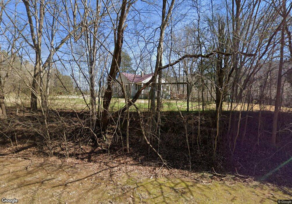
6116 Highway 11 Rising Fawn, GA 30738
Rising Fawn NeighborhoodEstimated Value: $152,307 - $190,000
--
Bed
1
Bath
1,082
Sq Ft
$162/Sq Ft
Est. Value
About This Home
This home is located at 6116 Highway 11, Rising Fawn, GA 30738 and is currently estimated at $175,769, approximately $162 per square foot. 6116 Highway 11 is a home located in Dade County with nearby schools including Dade Middle School and Dade County High School.
Ownership History
Date
Name
Owned For
Owner Type
Purchase Details
Closed on
Dec 9, 2009
Sold by
Worde Howard
Bought by
Brown James and Brown Deborah
Current Estimated Value
Purchase Details
Closed on
Dec 9, 2008
Sold by
Warde Howard E
Bought by
Brown James and Brown Deborah
Purchase Details
Closed on
Feb 14, 2006
Sold by
Smith Clarie Marie
Bought by
Worde Howard
Purchase Details
Closed on
Apr 29, 1970
Bought by
Smith Clarie Marie
Create a Home Valuation Report for This Property
The Home Valuation Report is an in-depth analysis detailing your home's value as well as a comparison with similar homes in the area
Home Values in the Area
Average Home Value in this Area
Purchase History
| Date | Buyer | Sale Price | Title Company |
|---|---|---|---|
| Brown James | $78,600 | -- | |
| Brown James | $78,600 | -- | |
| Worde Howard | $46,000 | -- | |
| Smith Clarie Marie | -- | -- |
Source: Public Records
Tax History Compared to Growth
Tax History
| Year | Tax Paid | Tax Assessment Tax Assessment Total Assessment is a certain percentage of the fair market value that is determined by local assessors to be the total taxable value of land and additions on the property. | Land | Improvement |
|---|---|---|---|---|
| 2024 | $40 | $59,200 | $2,600 | $56,600 |
| 2023 | $1,140 | $50,920 | $1,840 | $49,080 |
| 2022 | $22 | $35,280 | $1,840 | $33,440 |
| 2021 | $22 | $29,280 | $1,840 | $27,440 |
| 2020 | $23 | $27,000 | $1,480 | $25,520 |
| 2019 | $369 | $22,320 | $1,480 | $20,840 |
| 2018 | $536 | $22,320 | $1,480 | $20,840 |
| 2017 | $375 | $22,320 | $1,480 | $20,840 |
| 2016 | $374 | $22,320 | $1,480 | $20,840 |
| 2015 | $366 | $22,560 | $1,720 | $20,840 |
| 2014 | -- | $24,320 | $1,720 | $22,600 |
| 2013 | -- | $22,160 | $1,720 | $20,440 |
Source: Public Records
Map
Nearby Homes
- 550 Old Deer Head Cove Rd
- 881 Byrds Chapel Dr
- 697 Byrds Chapel Dr
- 2313 Sunset Dr
- 25.09 Acres Byrds Chapel Dr
- 440 Mac Lake Dr
- 00 County Road 792
- 0 Puddin Ridge Rd
- 392 School St
- 3607 County Road 792
- 0 Back Valley Rd Unit 1520558
- 2352 Byrds Chapel Rd
- 4223 Sunset Dr
- 0 Shivas Crest Unit 1514359
- 0 Plum Nelly Rd Unit 1511878
- 10 Acres Cr- 792 8-9
- 0 Long Branch Rd Unit RTC2942015
- 0 Long Branch Rd Unit 23920937
- 0 Long Branch Rd Unit 1514879
- 0 Long Branch Rd Unit RTC2908675
- 884 Cureton Mill Rd
- 6075 Highway 11
- 0 Hwy 11
- 6472 Highway 11
- 6474 Highway 11
- 5865 U S 11
- 318 Cureton Mill Rd
- 1428 Hatfield Rd
- 247 Meeks Rd
- 1409 Hatfield Rd
- 141 Hollyhill Hollow
- 4 Hollyhill Hollow
- 6594 Highway 11
- 355 Meeks Rd
- 1503 Hatfield Rd
- 309 Cureton Mill Rd
- 80 West Ln
- 1297 Hatfield Rd
- 38 West Ln
- 6639 Highway 11
