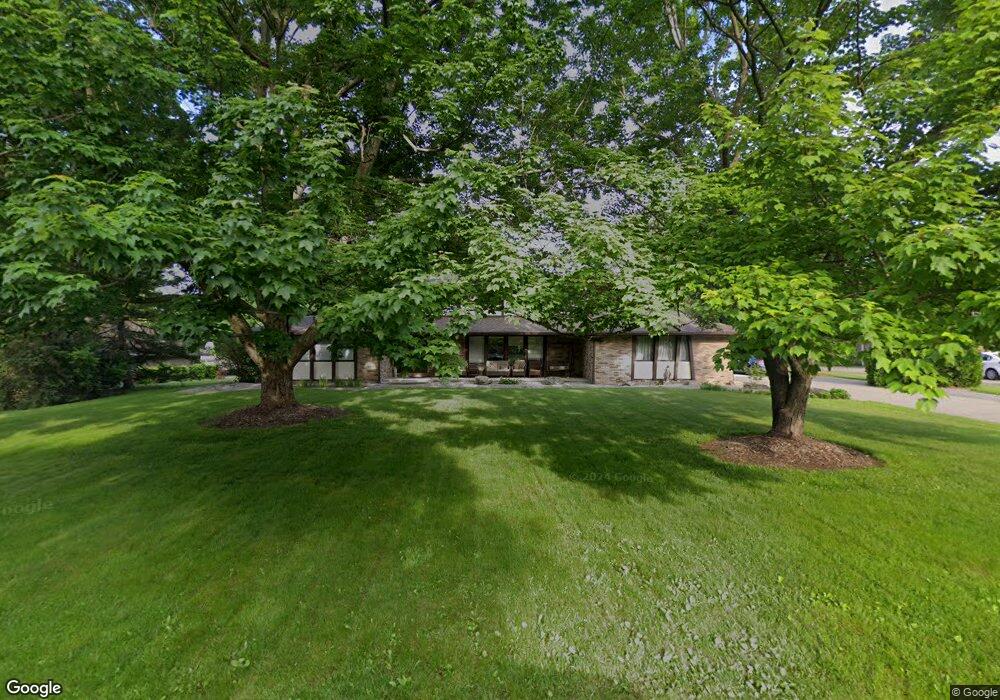
6116 Saint Andrews Dr Canfield, OH 44406
Estimated Value: $413,000 - $438,000
4
Beds
4
Baths
3,338
Sq Ft
$128/Sq Ft
Est. Value
About This Home
This home is located at 6116 Saint Andrews Dr, Canfield, OH 44406 and is currently estimated at $425,973, approximately $127 per square foot. 6116 Saint Andrews Dr is a home located in Mahoning County with nearby schools including Canfield Village Middle School, Canfield High School, and St Charles Elementary School.
Ownership History
Date
Name
Owned For
Owner Type
Purchase Details
Closed on
May 26, 2015
Sold by
Deskin Lois J
Bought by
Boulos Samir and Boulos Yollo
Current Estimated Value
Home Financials for this Owner
Home Financials are based on the most recent Mortgage that was taken out on this home.
Original Mortgage
$160,000
Outstanding Balance
$109,486
Interest Rate
0.78%
Mortgage Type
New Conventional
Estimated Equity
$316,487
Purchase Details
Closed on
Nov 14, 1985
Bought by
Deskin Lois J
Create a Home Valuation Report for This Property
The Home Valuation Report is an in-depth analysis detailing your home's value as well as a comparison with similar homes in the area
Home Values in the Area
Average Home Value in this Area
Purchase History
| Date | Buyer | Sale Price | Title Company |
|---|---|---|---|
| Boulos Samir | $200,000 | Attorney | |
| Deskin Lois J | -- | -- |
Source: Public Records
Mortgage History
| Date | Status | Borrower | Loan Amount |
|---|---|---|---|
| Open | Boulos Samir | $160,000 |
Source: Public Records
Tax History Compared to Growth
Tax History
| Year | Tax Paid | Tax Assessment Tax Assessment Total Assessment is a certain percentage of the fair market value that is determined by local assessors to be the total taxable value of land and additions on the property. | Land | Improvement |
|---|---|---|---|---|
| 2024 | $4,668 | $113,410 | $11,970 | $101,440 |
| 2023 | $4,591 | $113,410 | $11,970 | $101,440 |
| 2022 | $4,351 | $85,780 | $11,970 | $73,810 |
| 2021 | $4,216 | $85,780 | $11,970 | $73,810 |
| 2020 | $4,234 | $85,780 | $11,970 | $73,810 |
| 2019 | $4,101 | $74,000 | $11,970 | $62,030 |
| 2018 | $3,432 | $74,000 | $11,970 | $62,030 |
| 2017 | $3,429 | $74,000 | $11,970 | $62,030 |
| 2016 | $3,630 | $74,540 | $11,970 | $62,570 |
| 2015 | $3,550 | $74,540 | $11,970 | $62,570 |
| 2014 | $3,565 | $74,540 | $11,970 | $62,570 |
| 2013 | $3,435 | $74,540 | $11,970 | $62,570 |
Source: Public Records
Map
Nearby Homes
- 3770 Fairway Dr
- 4032 Saint Andrews Ct Unit 1
- 3649 Indian Run Dr Unit 2
- 5391 Muirfield Dr
- 6931 Lockwood Blvd
- 6729 Tippecanoe Rd Unit 6
- 6670 Summit Dr
- 6743 Lockwood Blvd
- 6747 Lockwood Blvd
- 6723 Lockwood Blvd Unit 4
- 1422 Turnberry Dr
- 6850 Abbey Rd N
- 6873 Tippecanoe Rd
- 6911 Tippecanoe Rd
- 6845 Abbey Rd
- 6843 Abbey Rd
- 3885 Shields Rd
- 6839 Abbey Rd S
- 6837 Abbey Rd S
- 3682 Sperone Dr
- 6116 St Andrews
- 6128 Saint Andrews Dr
- 6102 Saint Andrews Dr
- 6117 Southern Hills Ct
- 6105 Southern Hills Ct
- 6135 Southern Hills Ct
- 6115 Saint Andrews Dr
- 3987 Fairway Dr
- 3963 Fairway Dr
- 3935 Fairway Dr
- 6131 Saint Andrews Dr
- 6151 Southern Hills Ct
- 4009 Fairway Dr
- 6156 Saint Andrews Dr
- 6145 Saint Andrews Dr
- 3915 Fairway Dr
- 6118 Southern Hills Ct
- 4029 Fairway Dr
- 6169 Southern Hills Ct
- 6106 Southern Hills Ct