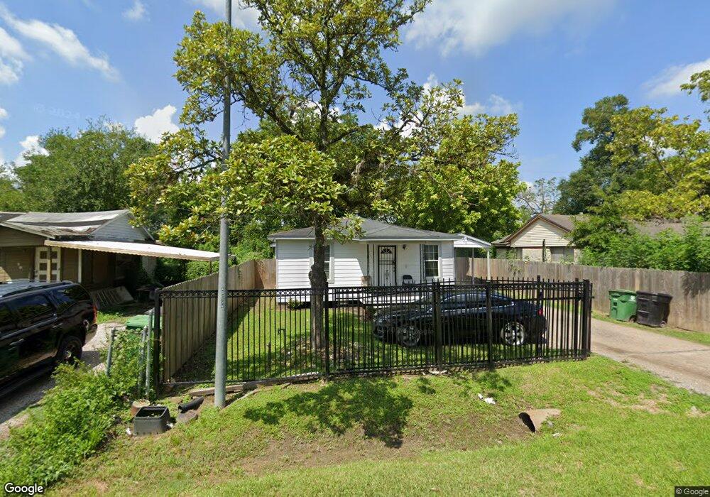
6117 Rollins St Houston, TX 77091
Acres Homes NeighborhoodEstimated Value: $121,974 - $169,000
2
Beds
1
Bath
676
Sq Ft
$221/Sq Ft
Est. Value
About This Home
This home is located at 6117 Rollins St, Houston, TX 77091 and is currently estimated at $149,494, approximately $221 per square foot. 6117 Rollins St is a home located in Harris County with nearby schools including Edward a Vines EC/Pre-K/K School, Harris Elementary School, and Hoffman Middle School.
Ownership History
Date
Name
Owned For
Owner Type
Purchase Details
Closed on
Nov 21, 2008
Sold by
W L Y Partnership
Bought by
Curtis Trenika J and Kersee Christopher L
Current Estimated Value
Purchase Details
Closed on
Sep 20, 2006
Sold by
Gilbert Earl M
Bought by
W L Y Partnership
Purchase Details
Closed on
Sep 18, 2006
Sold by
Brown Mary E and Estate Of Ira Lee Jelks
Bought by
Gilbert Earl M
Create a Home Valuation Report for This Property
The Home Valuation Report is an in-depth analysis detailing your home's value as well as a comparison with similar homes in the area
Home Values in the Area
Average Home Value in this Area
Purchase History
| Date | Buyer | Sale Price | Title Company |
|---|---|---|---|
| Curtis Trenika J | -- | None Available | |
| W L Y Partnership | -- | None Available | |
| Gilbert Earl M | -- | Stewart Title Houston Div |
Source: Public Records
Mortgage History
| Date | Status | Borrower | Loan Amount |
|---|---|---|---|
| Closed | Curtis Trenika J | $0 |
Source: Public Records
Tax History Compared to Growth
Tax History
| Year | Tax Paid | Tax Assessment Tax Assessment Total Assessment is a certain percentage of the fair market value that is determined by local assessors to be the total taxable value of land and additions on the property. | Land | Improvement |
|---|---|---|---|---|
| 2025 | $2,376 | $107,595 | $66,990 | $40,605 |
| 2024 | $2,376 | $104,689 | $66,990 | $37,699 |
| 2023 | $2,376 | $99,983 | $62,118 | $37,865 |
| 2022 | $1,385 | $57,735 | $30,996 | $26,739 |
| 2021 | $814 | $32,402 | $12,915 | $19,487 |
| 2020 | $732 | $27,736 | $12,915 | $14,821 |
| 2019 | $721 | $27,736 | $12,915 | $14,821 |
| 2018 | $249 | $23,692 | $10,332 | $13,360 |
| 2017 | $599 | $23,692 | $10,332 | $13,360 |
| 2016 | $544 | $23,692 | $10,332 | $13,360 |
| 2015 | $235 | $18,655 | $6,458 | $12,197 |
| 2014 | $235 | $18,655 | $6,458 | $12,197 |
Source: Public Records
Map
Nearby Homes
- 1 De Soto St
- 1933 De Soto St
- 2100 De Soto St
- 2732 De Soto St
- 0 Rollins St
- 6217 Nuben St
- 2519 Garapan St
- 2515 Garapan St
- 2511 Garapan St
- 2507 Garapan St
- 6210 Rolland St
- 5923 Easter St
- 2713 Druid St
- 2631 Mansfield St
- 2626 Druid St
- 3211 De Soto St
- 2478 Druid St
- 5823 Outer Banks St
- 5819 Outer Banks St
- 5815 Outer Banks St
- 6113 Rollins St
- 6121 Rollins St
- 6109 Rollins St
- 6125 Rollins St
- 6118 Rollins St
- 6810 de Campo St
- 6122 Rollins St
- 6812 de Campo St
- 6114 Rollins St
- 6808 de Campo St
- 6112 de Campo St
- 6129 Rollins St
- 6105 Rollins St
- 6114 de Campo St
- 6806 de Campo St
- 6116 de Campo St
- 6110 Rollins St
- 6120 de Campo St
- 6118 de Campo St
- 6133 Rollins St