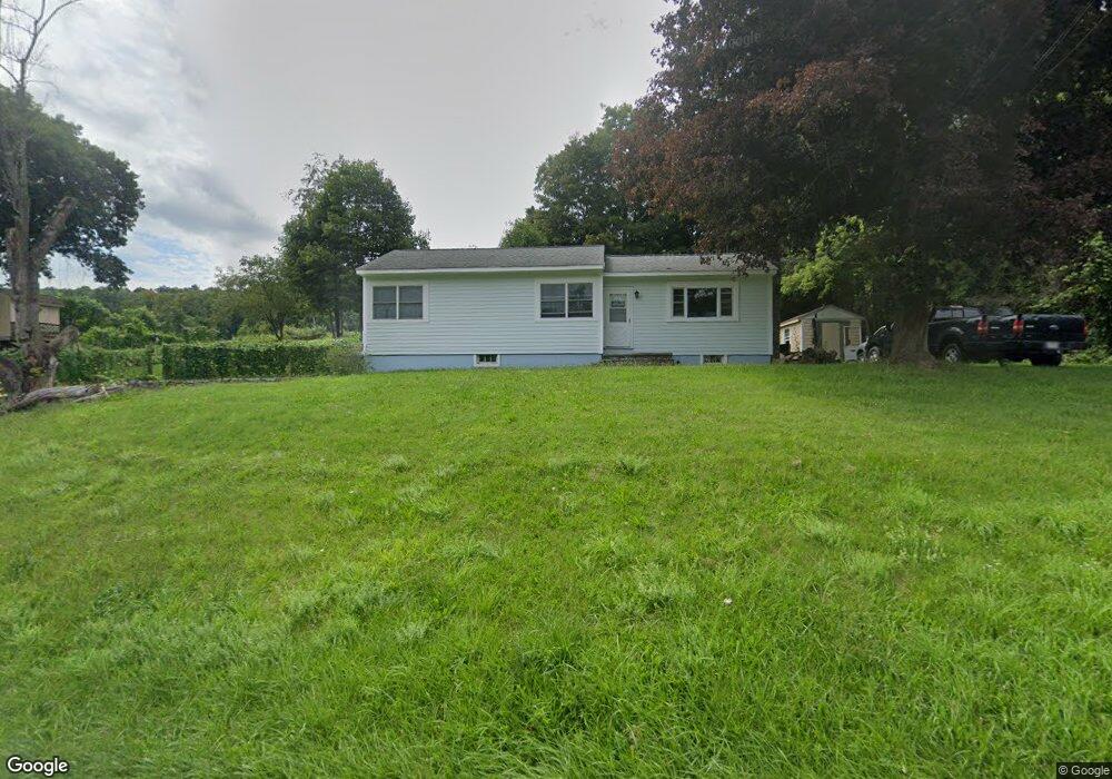
6117 Route 22 Millerton, NY 12546
North East NeighborhoodEstimated Value: $282,000 - $322,000
3
Beds
1
Bath
1,008
Sq Ft
$300/Sq Ft
Est. Value
About This Home
This home is located at 6117 Route 22, Millerton, NY 12546 and is currently estimated at $302,130, approximately $299 per square foot. 6117 Route 22 is a home located in Dutchess County with nearby schools including Webutuck Elementary School, Eugene Brooks Intermediate School, and Webutuck High School.
Ownership History
Date
Name
Owned For
Owner Type
Purchase Details
Closed on
Jun 29, 2022
Sold by
Sands Florence E
Bought by
Aquino Brenda and Aquino Benson
Current Estimated Value
Home Financials for this Owner
Home Financials are based on the most recent Mortgage that was taken out on this home.
Original Mortgage
$183,200
Outstanding Balance
$172,953
Interest Rate
4.25%
Mortgage Type
Adjustable Rate Mortgage/ARM
Estimated Equity
$129,177
Create a Home Valuation Report for This Property
The Home Valuation Report is an in-depth analysis detailing your home's value as well as a comparison with similar homes in the area
Home Values in the Area
Average Home Value in this Area
Purchase History
| Date | Buyer | Sale Price | Title Company |
|---|---|---|---|
| Aquino Brenda | $229,000 | None Available | |
| Aquino Brenda | $229,000 | None Available |
Source: Public Records
Mortgage History
| Date | Status | Borrower | Loan Amount |
|---|---|---|---|
| Open | Aquino Brenda | $183,200 | |
| Closed | Aquino Brenda | $183,200 |
Source: Public Records
Tax History
| Year | Tax Paid | Tax Assessment Tax Assessment Total Assessment is a certain percentage of the fair market value that is determined by local assessors to be the total taxable value of land and additions on the property. | Land | Improvement |
|---|---|---|---|---|
| 2024 | $4,211 | $258,200 | $31,600 | $226,600 |
| 2023 | $4,078 | $250,700 | $31,500 | $219,200 |
| 2022 | $4,026 | $232,100 | $29,200 | $202,900 |
| 2021 | $3,913 | $207,200 | $27,300 | $179,900 |
| 2020 | $6,410 | $203,100 | $32,300 | $170,800 |
| 2019 | $6,335 | $203,100 | $32,300 | $170,800 |
| 2018 | $4,115 | $203,100 | $32,300 | $170,800 |
| 2017 | $4,084 | $203,100 | $32,300 | $170,800 |
| 2016 | $4,116 | $203,100 | $32,300 | $170,800 |
| 2015 | -- | $203,100 | $32,300 | $170,800 |
| 2014 | -- | $203,100 | $32,300 | $170,800 |
Source: Public Records
Map
Nearby Homes
- 22 Beilke Rd
- 0 Smithfield Rd Unit KEY879008
- 0 Smithfield Rd Unit 157012
- 0 Smithfield Rd Unit KEY857365
- 86 Ballymount Dr
- 24 Dutchess Ave
- 80 Rudd Pond Rd
- 129 Birch Ln
- 5846 S Elm Ave
- 490 Mill St
- 0 Carson Rd
- 9 Overlook Dr
- 11 Deerfield Rd
- 0 Skunks Misery Rd Unit KEY860535
- A Skunks Misery Rd
- 317 Skunks Misery Rd
- 525 Winchell Mountain Rd
- 77 Belgo Rd
- 8 Tokone Hills Rd
- 24 Ore Hill Rd
- 6119 Route 22
- 6118 Route 22
- 6116 Route 22
- 6126 New York 22
- 6126 Route 22
- 300 Sawchuck Rd
- 6101 Route 22
- 6138 Route 22
- 5 Old Post Rd 2
- 9 Old Post Rd 2 Unit 17
- 6137 Route 22
- 6137 New York 22
- 27 Pine Ln Unit 31
- 73 Merwin Rd
- 28 Pine Ln
- 81 Merwin Rd
- 89 Merwin Rd
- 78 Merwin Rd Unit 82
- 101 Merwin Rd
- 78 - 82 Merwin Rd
Your Personal Tour Guide
Ask me questions while you tour the home.