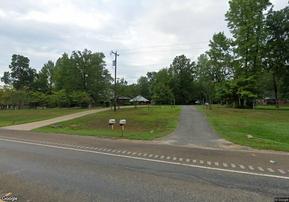
6117 State Highway 103 W Lufkin, TX 75904
Estimated Value: $265,000 - $345,000
--
Bed
8
Baths
1,658
Sq Ft
$179/Sq Ft
Est. Value
About This Home
This home is located at 6117 State Highway 103 W, Lufkin, TX 75904 and is currently estimated at $296,499, approximately $178 per square foot. 6117 State Highway 103 W is a home located in Angelina County with nearby schools including W.F. Peavy Primary School, W.H. Bonner Elementary School, and Hudson Middle School.
Ownership History
Date
Name
Owned For
Owner Type
Purchase Details
Closed on
May 25, 2023
Sold by
Horton Anne Marie
Bought by
Good Peter Shea
Current Estimated Value
Purchase Details
Closed on
Apr 5, 2013
Sold by
Fulton William Michael
Bought by
Mahr Ryan and Mahr Jessica
Purchase Details
Closed on
Mar 28, 2008
Sold by
Mccarty Estel Louise
Bought by
Mahr Anthony Lee and Saxon Jennifer M
Create a Home Valuation Report for This Property
The Home Valuation Report is an in-depth analysis detailing your home's value as well as a comparison with similar homes in the area
Home Values in the Area
Average Home Value in this Area
Purchase History
| Date | Buyer | Sale Price | Title Company |
|---|---|---|---|
| Good Peter Shea | -- | Security Guaranty Abstract | |
| Mahr Ryan | -- | None Available | |
| Mahr Anthony Lee | $31,500 | Angelina Title Llc |
Source: Public Records
Mortgage History
| Date | Status | Borrower | Loan Amount |
|---|---|---|---|
| Closed | Mahr Ryan | $0 |
Source: Public Records
Tax History Compared to Growth
Tax History
| Year | Tax Paid | Tax Assessment Tax Assessment Total Assessment is a certain percentage of the fair market value that is determined by local assessors to be the total taxable value of land and additions on the property. | Land | Improvement |
|---|---|---|---|---|
| 2025 | $3,738 | $251,820 | $49,580 | $202,240 |
| 2024 | $3,669 | $247,150 | $49,580 | $197,570 |
| 2023 | $3,626 | $246,690 | $49,580 | $197,110 |
| 2022 | $3,758 | $233,420 | $41,880 | $191,540 |
| 2021 | $3,724 | $217,030 | $41,880 | $175,150 |
| 2020 | $3,447 | $187,710 | $34,220 | $153,490 |
| 2019 | $3,494 | $184,080 | $33,230 | $150,850 |
| 2018 | $3,018 | $180,920 | $33,230 | $147,690 |
| 2017 | $3,018 | $173,870 | $32,650 | $141,220 |
| 2016 | $3,264 | $169,890 | $32,650 | $137,240 |
| 2015 | $2,906 | $172,960 | $32,650 | $140,310 |
| 2014 | $2,906 | $170,510 | $32,650 | $137,860 |
Source: Public Records
Map
Nearby Homes
- Derek RD None
- 151 Lancewood Cir
- 5740 Hwy 103e
- 176 Lancewood Cir
- Lot 1A Welch Hill Top Rd
- Lot 1D Welch Hill Top Rd
- 339 Liles Ln
- 321 Gordon Way
- 260 Falcon Ave
- 183 Falcon Ave
- Lot 2 Bethlehem Rd
- 625 Fm 706
- 0 Ben Dunn Rd
- PID 29607 Ben Dunn Rd
- PID 29607 Ben Dunn Rd
- 105,115,116,195 Wilcox Dr
- TBD James Oates Rd
- 10155 Fm 2021
- 3202 Bethlehem Rd
- 3335 Bethlehem Rd
- 6111 State Highway 103 W
- 6123 State Highway 103 W
- 214 Johnnaville Ave
- 130 Stacy St
- 130 Stacey St
- 175 Johnnaville Ave
- 160 Johnnaville Ave
- 136 Johnnaville Ave
- 125 Stacey St
- 178 Stacey St
- 155 Stacey St
- 196 Stacy St
- 196 Stacey St
- 6035 State Highway 103 W
- 131 Johnnaville Ave
- 122 Johnnaville Ave
- 106 Johnnaville Ave
- 318 Derek Rd
- 456 Derek Rd