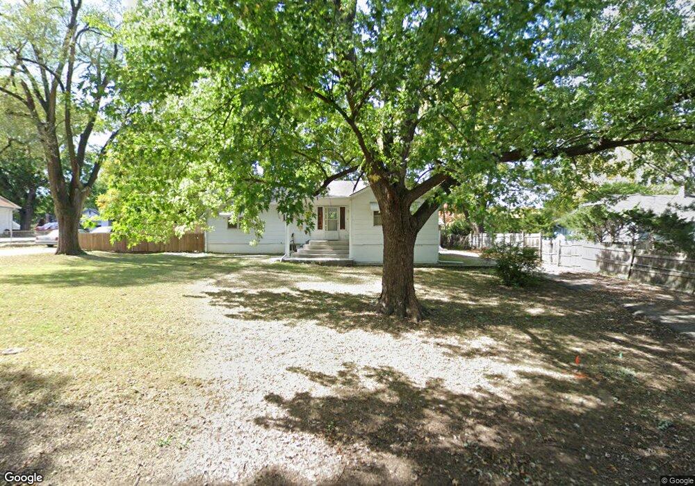
6118 King Ave Shawnee, KS 66203
Shawnee AreaEstimated Value: $255,000 - $309,920
About This Home
This home is located at 6118 King Ave, Shawnee, KS 66203 and is currently estimated at $285,480, approximately $213 per square foot. 6118 King Ave is a home located in Johnson County with nearby schools including Bluejacket / Flint Elementary, Hocker Grove Middle School, and Shawnee Mission North High School.
Ownership History
We collect this data history from publicly available records. To have your information removed, we recommend requesting removal directly through your county’s website.
Purchase Details
Purchase Details
Purchase Details
Home Values in the Area
Average Home Value in this Area
Purchase History
We collect this data history from publicly available records. To have your information removed, we recommend requesting removal directly through your county’s website.
| Date | Buyer | Sale Price | Title Company |
|---|---|---|---|
| -- | None Available | ||
| -- | None Available | ||
| -- | None Available | ||
| -- | None Available |
Tax History
We collect this data history from publicly available records. To have your information removed, we recommend requesting removal directly through your county’s website.
| Year | Tax Paid | Tax Assessment Tax Assessment Total Assessment is a certain percentage of the fair market value that is determined by local assessors to be the total taxable value of land and additions on the property. | Land | Improvement |
|---|---|---|---|---|
| 2025 | $2,537 | $24,495 | $5,569 | $18,926 |
| 2024 | $2,487 | $23,885 | $5,569 | $18,316 |
| 2023 | $2,671 | $24,989 | $5,569 | $19,420 |
| 2022 | $2,420 | $22,563 | $5,075 | $17,488 |
| 2021 | $2,315 | $20,102 | $4,410 | $15,692 |
| 2020 | $2,079 | $17,802 | $4,010 | $13,792 |
| 2019 | $2,009 | $17,181 | $3,345 | $13,836 |
| 2018 | $1,944 | $16,560 | $3,029 | $13,531 |
| 2017 | $1,858 | $15,571 | $3,029 | $12,542 |
| 2016 | $1,582 | $13,064 | $3,029 | $10,035 |
| 2015 | $1,489 | $12,903 | $3,029 | $9,874 |
| 2013 | -- | $12,121 | $3,029 | $9,092 |
Map
- 11705 W 60th Place
- 6111 Melrose Ln
- 11815 Johnson Dr
- 12009 W 60th Place
- 5742 Garnett St
- 11905 W 58th Terrace Unit E
- 12030 W 58th Terrace Unit C
- 10408 W 65th St
- 5520 Barton Ln
- 10924 W 67th St
- 11624 W 68th St
- 5702 Halsey St
- 6100 Long Ave
- 11615 W 68th St
- 5628 Melrose Ln
- 10015 Johnson Dr
- 10112 W 65th St
- 12123 W 66th St
- 9905 W 60th Terrace
- 6638 Halsey St
- 6121 King Ave
- 6121 King St
- 6125 King Ave
- 6115 King Ave
- 6129 King Ave
- 6116 Barton Ave
- 6116 Barton St
- 6120 Barton Ave
- 6103 King St
- 6103 King Ave
- 11207 W 61st St
- 6124 Barton Ave
- 6128 King Ave
- 6110 Barton Ave
- 11220 W 61st Place
- 11216 W 61st Place
- 6108 King Ave
- 11206 W 61st Place
- 6009 Barton Ave Unit 60W-6009
- 6136 King Ave
Ask me questions while you tour the home.